SRTM Shuttle Radar Topography Mission
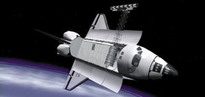
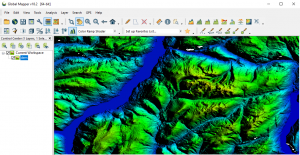
During an 11-day mission, Space Shuttle Radar Topography (SRTM) mission captured Earth’s elevation at 1 arc-second (30 meters) for over 80% of the Earth.
During an 11-day mission, Space Shuttle Radar Topography (SRTM) mission captured Earth’s elevation at 1 arc-second (30 meters) for over 80% of the Earth.
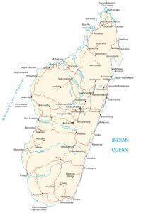
A Madagascar map with cities, transportation and water – Madgascar is an island in Southern Africa, in the Indian Ocean, east of Mozambique.
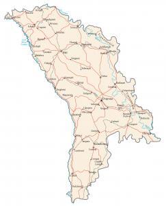
A Moldova map containing major cities, transportation and hydrography – Moldova is in eastern Europe, northeast of Romania, west of Ukraine.
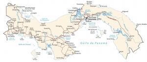
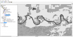
A map of Panama featuring cities, transportation and water – Panama is located in the North Pacific Ocean, between Colombia and Costa Rica.
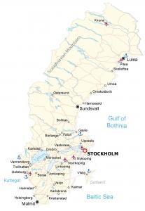
A map of Sweden containing major cities, roads and water features – Sweden is in Northern Europe, between Finland and Norway in Scandinavia.
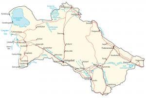
A Turkmenistan map containing cities, roads and water features. Turkmenistan is in central Asia, next to the Caspian Sea, Iran and Kazakhstan.
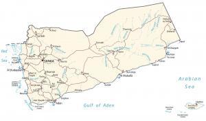
A Yemen map with major cities, transportation and hydrography – Yemen is located in the Middle East between Oman and Saudi Arabia.
Global Mapper by Blue Marble is a 64-bit GIS application. It has a powerful, intuitive interface, especially with LiDAR and terrain mapping.
ILWIS is free (GNU license) for users around the world for GIS and remote sensing needs. Here are some of the neat features and developments.
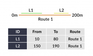
Linear referencing systems (LRS) store relative positions on an existing line feature with m-values for point/line events and linear analysis.