Map of Italy – Cities and Roads
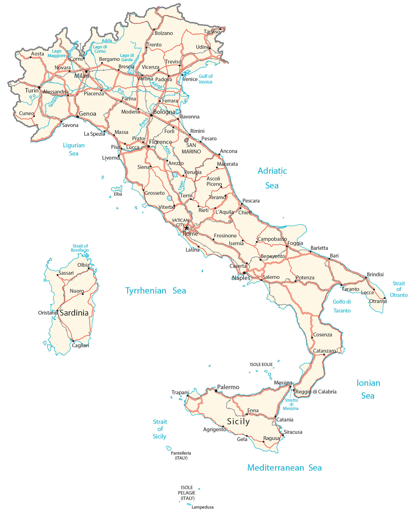
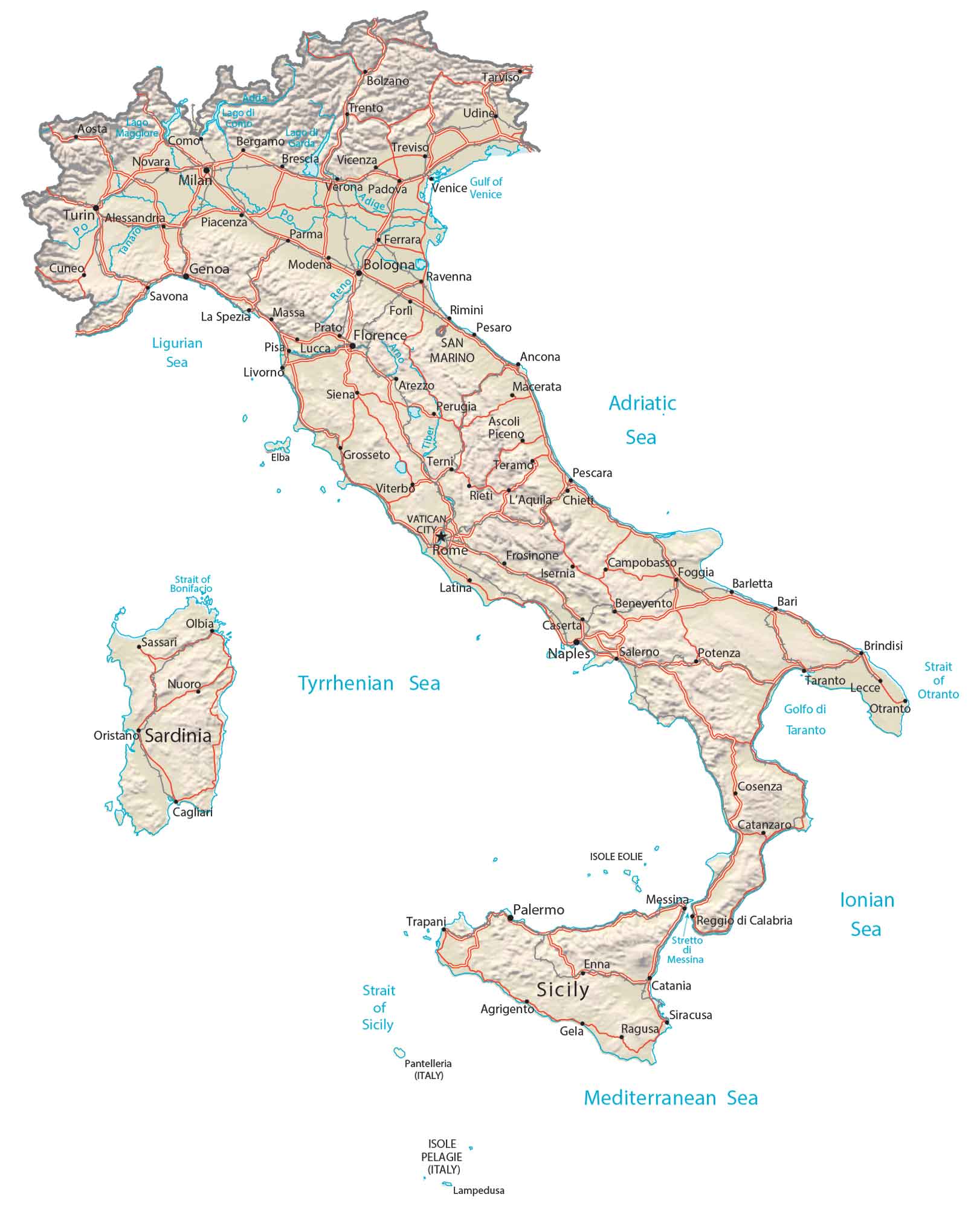
This map of Italy contains major cities, towns, roads, lakes, and rivers. Satellite imagery and a terrain map show its topography like the Alps, the Apennines, and the Po Valley.
Italy map collection

You are free to use our Italy map for educational and commercial uses. Attribution is required. How to attribute?
About the map
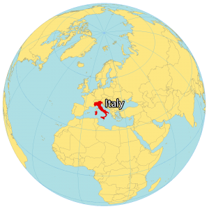
Italy is located in southern Europe along the Mediterranean Sea. It borders 4 countries to the north including France, Switzerland, Austria, and Slovenia. Also, the microstates of San Marino and Vatican City are enclaves completely surrounded by Italy.
Italy is known for its art, architecture, culture, fashion, and food. Rome is the capital and largest city in Italy. But Milan, Naples, and Turin are other large cities.
Italy looks like the shape of a boot because of how its peninsula extends southward into the Mediterranean Sea. The country’s landmass also includes Sicily and the island of Sardinia in the west, across the Tyrrhenian Sea.
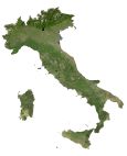
SATELLITE IMAGERY
Italy Satellite Map
Altogether, Italy occupies an area of 301,340 square kilometers (116,350 sq mi). This makes its landmass smaller than Poland and larger than New Zealand. The country shares a coastline of about 7,600 kilometers (4,722 miles).
According to the FAO, forests cover 31% of Italy. Whereas 41% of Italy’s landmass is set aside for agriculture. The climate in Italy is mostly Mediterranean with hot, dry summers and cool, wet winters. While Po is Italy’s longest river, Lake Garda is Italy’s largest lake at 368 square kilometers (142 sq mi).

PHYSICAL MAP
Italy Physical Map
The terrain in Italy is very rugged, with plains and coastal lowlands. For instance, the Alps and the Apennines are the two major mountain chains, which occupy about 35% of Italy. The Apennine Mountains is a 1,200 kilometers long mountain chain along the Italian peninsula.
Whereas the Alps lie in the north along its northern border. Within the Alps, it contains Mont Blanc (Monte Bianco in Italian). At 4,808.7 meters (15,777 ft), it’s Italy’s tallest mountain. Italy is also home to active volcanoes.
Not only is Mount Etna in Sicily the largest active volcano in Italy, but it’s the largest in all of Europe. Other than its mountain chains, Po Valley is the largest plain below the Alps to the Adriatic Sea.
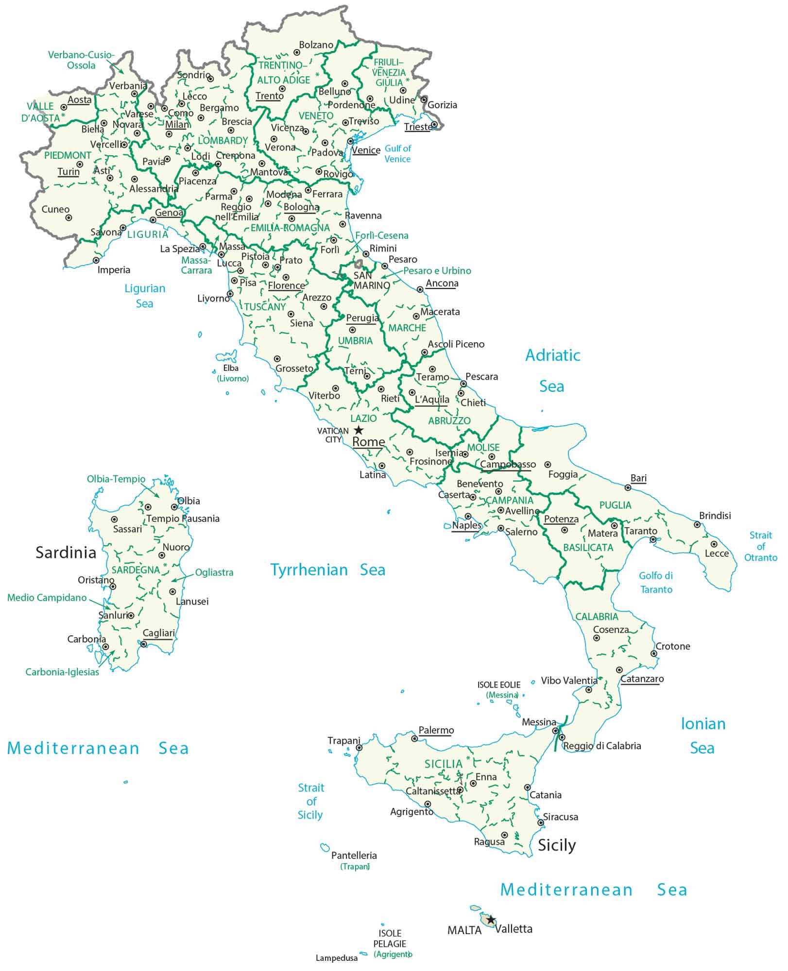
ADMINISTRATION MAP
Italy Provincial Map
There are 20 regions in Italy, which are the first-level administrative units. Italy divides each unit geographically and administratively. Next, the second-level administrative units are provinces. Their main function is for local planning, zoning, as well as police and fire services.
Capital City
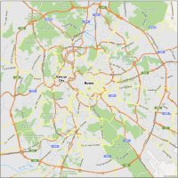
Rome
Major cities
Bari
Bologna
Brescia
Catania
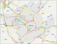
Florence
Genoa
Messina
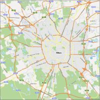
Milan
Modena
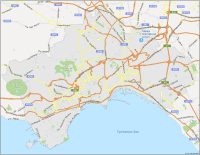
Naples
Palermo
Parma
Prato
Taranto
Turin
Venice
Verona
Islands
Elba
Isole Eolie
Isole Pelagie
Lampedusa
Pantelleria
Sardinia
Sicily
Cities, towns and populated places
Agrigento
Alessandria
Ancona
Aosta
Arezzo
Ascoli Piceno
Barletta
Benevento
Bergamo
Bolzano
Brindisi
Cagliari
Campobasso
Caserta
Catanzaro
Chieti
Como
Cosenza
Cuneo
Enna
Ferrara
Foggia
Forlì
Frosinone
Gela
Grosseto
Isernia
La Spezia
L’Aquila
Latina
Lecce
Livorno
Lucca
Macerata
Massa
Novara
Nuoro
Olbia
Oristano
Otranto
Padova
Perugia
Pesaro
Pescara
Piacenza
Pisa
Potenza
Ragusa
Ravenna
Reggio di Calabria
Rieti
Rimini
Salerno
Sassari
Savona
Siena
Siracusa
Tarviso
Teramo
Terni
Trapani
Trento
Treviso
Udine
Vicenza
Viterbo
Rivers, seas and water features
Adda River
Adige River
Adriatic Sea
Arno River
Gulf of Taranto
Gulf of Venice
Ionian Sea
Lago di Como
Lago di Garda
Lago Maggiore
Ligurian Sea
Mediterranean Sea
Po River
Reno River
Strait of Bonifacio
Strait of Otranto
Strait of Sicily
Stretto di Messina
Tanaro River
Tyrrhenian Sea
Places of interest
San Marino
Vatican City


Where’s a good, safe inexpensive place for an American to live in Italy. Smooth terrain, non volcanic, not harsh winters, not high crime?
A couple of places to suggest – Tuscany, Umbria, and Marche.