5 Best Free LiDAR Software Tools and Viewers
From viewers to desktop applications, these are the best and free LiDAR software tools for visualization, analysis, and conversion.

From viewers to desktop applications, these are the best and free LiDAR software tools for visualization, analysis, and conversion.

Today you’re going to see the best 3D maps in action. You can interactively fly around buildings and landscapes in three dimensions.

We reveal the top 10 GPS apps for navigation (Android and iOS). Some apps will steer you away from trouble like crashes, construction and cops.
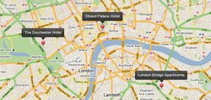
We list geocoding and reverse geocoding services that are available (for free and as paid services) to pinpoint addresses on your maps.
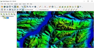
Global Mapper by Blue Marble is a 64-bit GIS application. It has a powerful, intuitive interface, especially with LiDAR and terrain mapping.
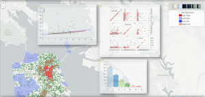
While not necessarily your prototype GIS package, GeoDa carries exciting analytical & visualization tools in industries like economics, health & real estate
From passive to active remote sensing – photogrammetry to LiDAR, ERDAS Imagine loads you with all the necessary tools for more robust image analysis.
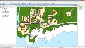
In Bentley Map, we step into a world of CAD and GIS all meshed into one. It combines the power of CAD with the strengths of a traditional GIS software.
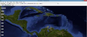
FalconView is not a prototype GIS software. Instead, it’s a flight simulator that lets you do flight planning, simulations, and fly-throughs.
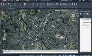
AutoCAD Map 3D has the same look and feel as Autodesk. By linking CAD and GIS, it bridges the gap between design and geographic locations.