Spatial Analytics vs Spatial Analysis
We use the terms spatial analytics and spatial analysis often interchangeably in GIS. While both terms are closely related, they have slightly different meanings.
What Is Spatial Analysis?
Spatial analysis is a more traditional term. It’s all about exploring locations and their relationships. Spatial analysis helps us uncover the “why” and “where” behind the data.
For example, it can reveal the spatial pattern of a disease’s spread in a city. This is crucial for planning health services. It helps us understand why things happen where they do.
Spatial analysis encompasses a wide range of geoprocessing techniques. From simple buffering to more complex statistical modeling like kriging, its focus is on finding spatial trends.
What Is Spatial Analytics?
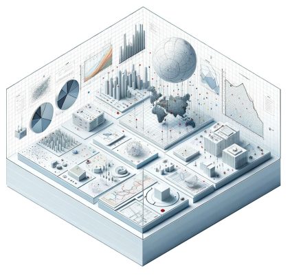
Meanwhile, spatial analytics takes this a step further by using modern technology. It crunches big data to predict future trends based on location. So, if you’re looking to avoid traffic, spatial analytics powers apps to forecast congested roads.
It’s not so far from geoanalytics. Is there a difference? It’s because spatial analytics builds on the insights of spatial analysis. For example, it uses AI and machine learning to predict future trends and make decisions.
Spatial analysis is good at answering ‘why’ for location data. However, spatial analytics leverages more advanced analytics. These tools include real-time data processing, big data, machine learning, and AI.
Spatial Analytics Software
Here are some popular spatial analysis and analytics software tools:
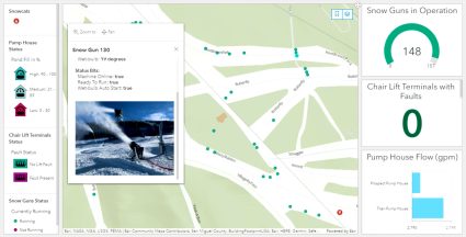
- ArcGIS: This GIS software is the most popular in the market today. It has both spatial analysis and analytics capabilities. While ArcGIS Pro is for everyday GIS analysis, ArcGIS Velocity analyzes big data in real time.
- CARTO: Known for being a cloud-based GIS solution, CARTO also offers strong spatial analytics. Although it’s not meant for traditional geoprocessing, CARTO is more of a specialist in running analysis pipelines. People use it for retail site selection, logistics, and supply chain optimization.
- QGIS: This open-source GIS software supports a wide range of spatial analysis. Plus, you can view, edit, and analyze your GIS data. Now in version 3, QGIS is user-friendly and has strong community support.
- Mapbox: This platform is designed for developers to create custom online maps. Developers use it for location-based services. But Mapbox also offers powerful tools for spatial analysis in real-time applications.
- Google Earth Engine (GEE): This cloud-based platform has planetary-scale environmental data analysis functionality. Researchers use GEE for environmental monitoring because it can analyze large datasets over time.
Each of these tools has its strengths and you should choose it based on your specific project. For instance, governments widely used ArcGIS because of its extensive features and support. In comparison, QGIS is preferred for projects with open-source or low-cost requirements.
Summary: Spatial Analytics
Clear as mud?
Just remember that spatial analysis focuses on finding spatial patterns, relationships, and trends. This lays all of the groundwork.
Spatial analytics enables data-driven predictions by using AI, machine learning, and big data.
…Because the map you know is just the beginning. Together, these approaches can help you not only understand the current landscape but also anticipate what lies ahead.


