Belarus Map – Cities and Roads
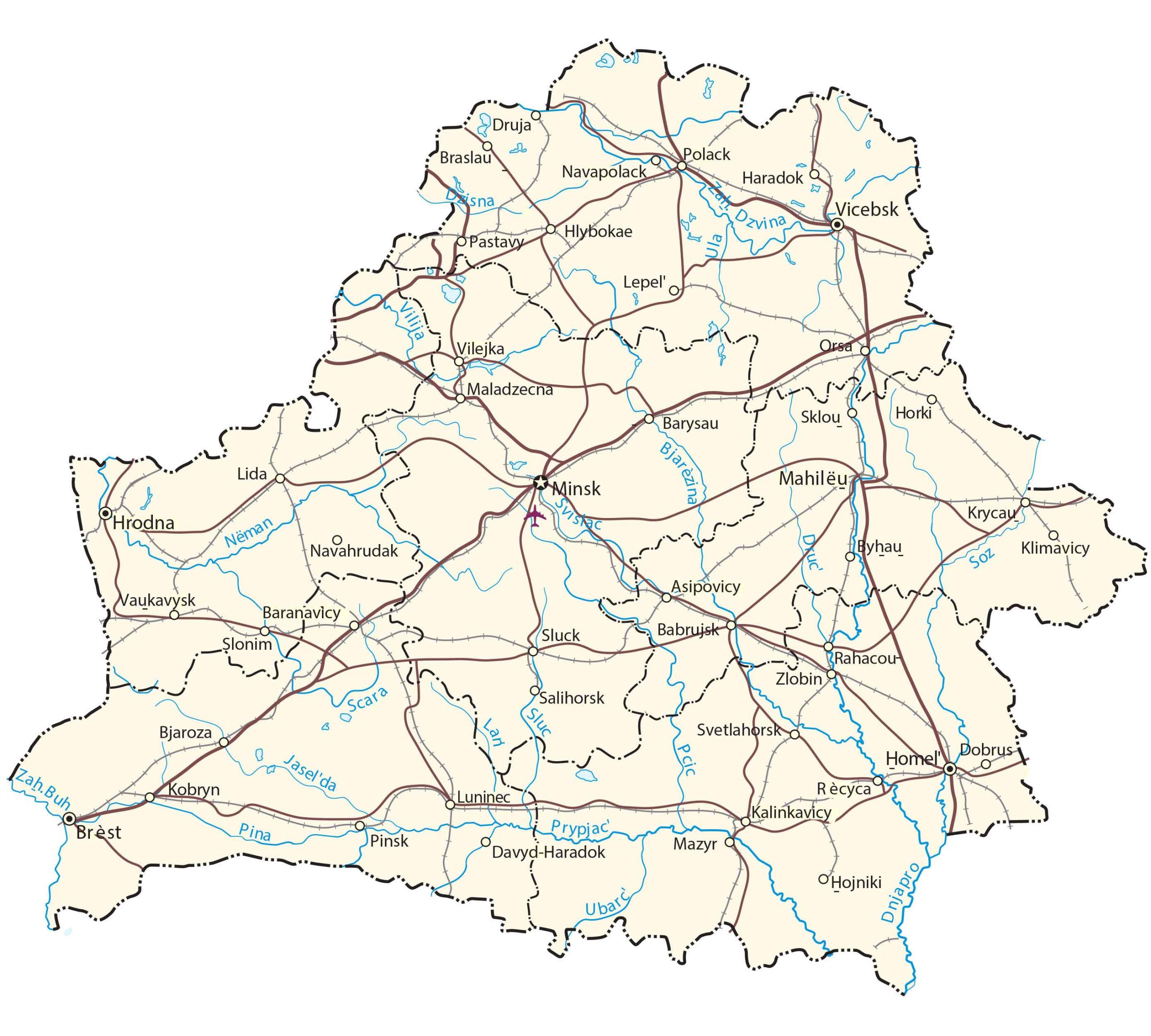
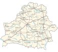
This Belarus map shows cities, towns, highways, elevation, and satellite imagery of the country. The terrain map of Belarus highlights its topography like the Belarusian Ridge and highest peak, Dzyarzhynskaya Hill.
Belarus map collection
You are free to use our Belarus map for educational and commercial uses. Attribution is required. How to attribute?
About the map
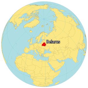
Belarus is a landlocked country located in Eastern Europe. It borders 5 other countries. First, Russia is located to the northeast, Latvia to the north, and Lithuania to the northwest. Then, Belarus borders Poland to the west, and Ukraine to the south.
Belarus occupies an area of 207,600 square kilometers (80,200 sq mi) which is the 13th largest in Europe. The capital city is Minsk, close to the geographic center of the country. Also, it’s one of the least wealthy countries in all of Europe per capita.
SATELLITE IMAGERY
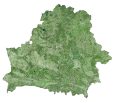
Belarus Satellite Map
Belarus is known for its forests, flowing rivers, marshland, and agriculture. According to the FAO, forests cover over 40% of Belarus. Agriculture is its other major land use because it has ideal growing conditions for cereal crops like barley, rye, oats, and wheat.
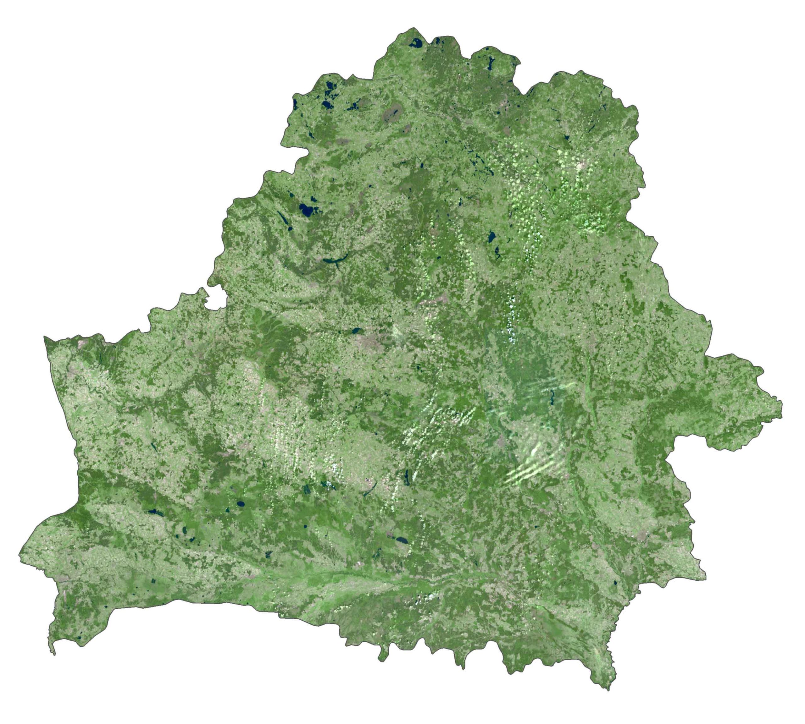
There are over 11,000 lakes in Belarus. Flowing rivers run throughout the country. But its primary rivers are the Neman, Pripyat, and Dnieper River. Lake Narach is the largest lake in Belarus and is situated northwest of its capital, Minsk.
PHYSICAL MAP
Belarus Elevation Map
The terrain in Belarus is relatively flat with large areas of marshy land throughout most of the country. Specifically, Polesia is a large stretch of marshy forests in the south of Belarus. Another major topographic feature is the Belarusian Ridge.
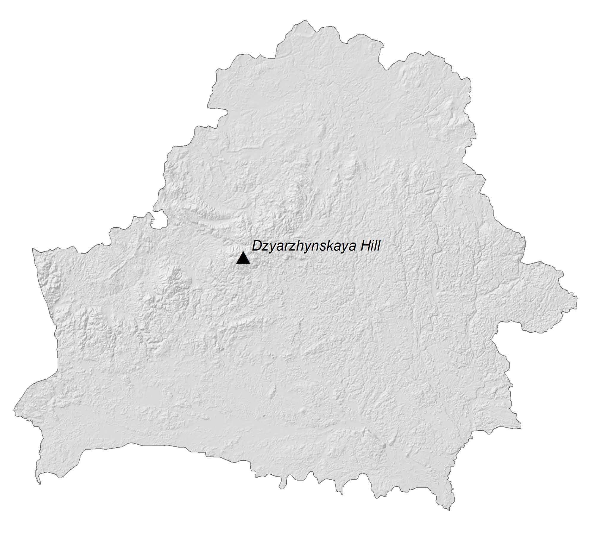
This ridge that consists of low, rolling hills extends for more than 500 kilometers in the western region of the country. At 345 meters (1,132 ft), Dzyarzhynskaya Hill is the highest peak in Belarus, located west of Minsk.
Capital City
Minsk
Major cities and towns
Vitebsk
Hrodna
Mahilëu
Homel
Cities and towns
Druja
Braslau
Polack
Navapolack
Haradok
Hlybokae
Pastavy
Lepel
Lida
Navahrudak
Baranavicy
Maladzecna
Orsa
Barysau
Sklou
Horki
Byhau
Asipovicy
Sluck
Babrujsk
Rahacou
Salihorsk
Zlobin
Sluc
Svetlahorsko
Brèst
Bjaroza
Kobryn
Pinsk
Luninec
Davyd-Haradok
Krycau
Klimavicy
Dobrus
Recyca
Kalinkavicy
Mazyr
Hojniki
Lakes, rivers and creeks
Prypjac River
Dzvina River
Ula River
Neman River
Bjarezina River
Scara River
Pina River
Soz River
Druc River
Vilija River
Svislac River
Soz River
Highest point
Dzyarzhynskaya Hara

