5 Adventurous Features in Google Street View
Google Street View: 5 Adventurous Features and Facts
Google Street View is like a virtual tour of the entire world, right at your fingertips.
So anyone with an adventurous bone in their body should explore the world using Google Street View in Google Maps.
Despite some of the incredible views of the world captured in Google Street View, there are some little-known features that allow you to explore our world even further.
For adventurous users to historians, here are five exciting features of Google Street View that you might not have known about.
1. Go Back in Time
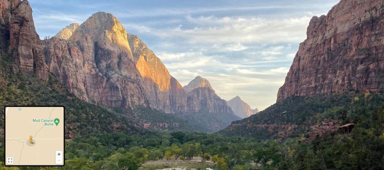
Take a walk in someone else’s shoes. But instead of just the most recent image available, Google has a “timelapse” feature that allows users to view Street View images from different locations over a period of time.
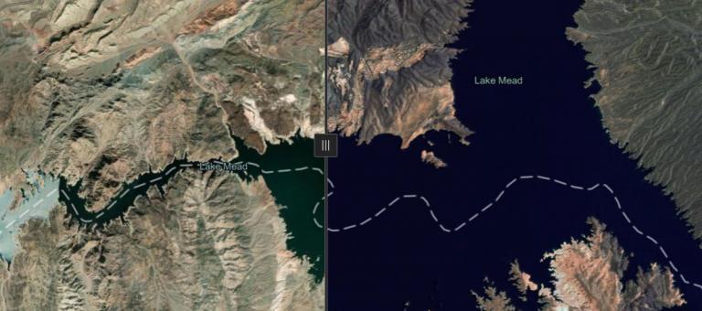
Explore historical Street View imagery so you can see how the city has transformed over time. This is especially useful if you are trying to find a place that no longer exists or has been significantly renovated.
Immerse yourself in the past and learn from the experiences of others. You can also view the recovery efforts before and after a natural disaster strikes. But check out these 5 historical imagery viewers to leap back in the past.
2. Collect your own Street View
It’s possible to contribute your own virtual tour of their neighborhood by using the Street View App. All you need to do is download the app, point the camera at the location you want to contribute, and share.
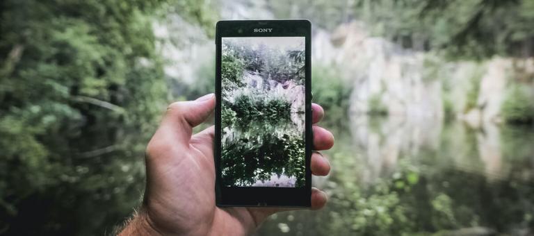
The app uses augmented reality and will automatically detect the location and rotate the camera to the correct position. It can also connect a series of photos as you travel through your neighborhood.
Once you have completed your shoot, you can review and share it in Google Street View. Previously, you would have needed an expensive panoramic camera to do this type of work. Similar to Mapillary, any smartphone can share the world as it sees it through its lens.
3. Antarctica has Streetview
The Google team has collected over 170 billion Street View images from 87 countries around the world. But did you know that one of them is Antarctica?

That’s right. You can get a front-row seat for one of the least explored places in the world today. That means you can explore the frozen continent at the South Pole, inhabited by penguins.
Although no one permanently lives in Antarctica, the only residents are temporary researchers and travelers. As such, you’ll get to explore Half Moon Island, Amundsen–Scott South Pole Station, and McMurdo Sound.
4. Learn demographics with Street View
By analyzing the demographic information of images captured by Google’s Street View cars, you can gain valuable insights into the socioeconomic makeup of a given area.

For instance, one research article used deep learning in Google Street View to classify the type of car in a neighborhood. By extracting this socioeconomic information, it could extract voting patterns across the United States.
Also, by comparing the make and model of cars in different locations, you can estimate the average income of the individuals living there. While wealthy neighborhoods yielded more luxury vehicles, the majority of cars in rural areas were pickup trucks.
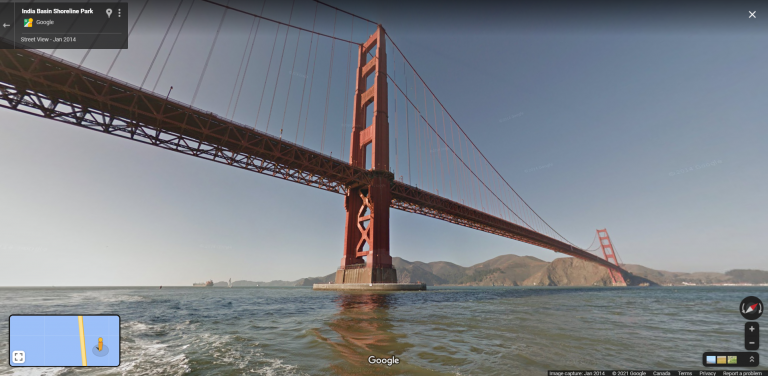
5. The yellow man you dangle is “Pegman”
Yes. The little yellow stickman’s name is “Pegman”. When you dangle and drop this marker in any location, this is how you can start to navigate through any neighborhood, explore different countries, or visit famous landmarks.
Some countries may not have Streetview coverage, while others may have only smaller segments available. In the case of Africa, it’s not very likely that you will find any available Street View images in any country.
Even in developed countries, not all locations have Streetview coverage, and not every road has been driven on by a Streetview car. Plus, some users prefer not to have their house in Street View and this is another reason why there can be a void in information.
Google Street View Features
Google Streetview takes users on virtual tours of places, so they can feel and experience these sights firsthand.
From viewing historical Streetview images to exploring Antarctica, this online application is loaded with adventurous features.
Yet some still go unnoticed by the average Streetview user. Fortunately, this article will clarify what those features are.
Don’t forget to check out 5 maps with street view. Did we miss any features for Google Streetview? Please let us know by filling in the comment form below.


