How to Learn GIS for Free
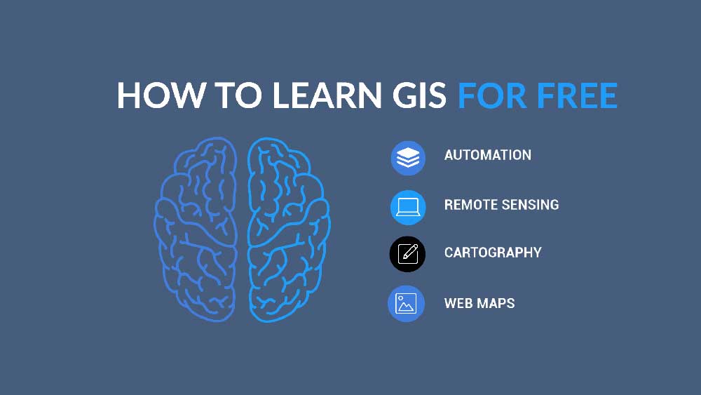
Free ways to learn GIS
Today, we’re going to show you the art of how to self-learn GIS.
And even if GIS doesn’t run through your veins, you can inject these strategies into them to get the boost you need.
First, a quick story:
From our childhood, we typically build 3 pools of talent – creativity, analytics, and athleticism. Ultimately, these 3 skills determine the type of person we become.
Just like you did growing up, you can stimulate any of these pools of talent as you learn GIS. And today, we’re going to show you how.
1. For the analytical thinker, there’s automation
Automating boring tasks is the ultimate analytical skill. If you can take away the monotonous tasks from a coworker, it’s the type of skill that can take you from zero to the office hero.
The easiest ways to automate in GIS are using tools like FME and Esri ArcGIS ModelBuilder. Each tool is designed to string together a set of processes for routine operations. Instead of manually running each tool one at a time, these types of automatic workflows can empower organizations by repeatedly performing your analysis and saving time.
Lastly, many consider Python to be the front-runner for programming languages because it’s open source and well-established. By using Python libraries, you can extend the capabilities of GIS. We’ve dedicated an entire article to free GIS programming tutorials for coding languages like Python, JavaScript, and more.
Oftentimes, the best courses to learn programming don’t necessarily have to be related to GIS. For example, Python courses cover everything from conditionals, loops, and data structures – all the way to data science libraries such as NumPy and Pandas.
2. For the creative mind, there’s cartography
For your creative talents, cartography is all about making maps. But it’s more than just that. The challenge is how to get your message across to the audience. As traditional cartography shifts to the digital age, its fundamentals remain the same. By using various types of maps, you can become an expert communicator in geography.
So how do you learn cartography? Just like everything you’ve become an expert in, you practice it. First, you find maps that you like such as the Esri Map Book series. Next, you incorporate what you like into your own maps using any GIS software. For example, QGIS is great to get started with. Everything you need is in QGIS (Quantum GIS) to build cartographic masterpieces you can call your own.
If you just want to sit back and learn, then I suggest taking the 6-week Esri Massive Online (MOOC) in Cartography. Esri has some absolute units for its training courses to help you stay on top of a rapidly changing industry.
The best part? They’re free and taught by leading experts in the field. Even if you’re not using Esri products, you can add some of these MOOCs that you’ve finished to your CV or resume.
Lastly, web mapping is just cartography in the modern era. Here are some ways to learn GIS through web maps.
- Leaflet.js is well-documented and easy to learn. By using Leaflet, you can create your own web map from this JavaScript library. Next, use OpenLayers 3 for everything from clusters, animations, GeoJSON, heatmaps, WebGL, and more.
- As technology improves, web development is going to require using 3D visualization tools. Take a look at WebGL and Esri’s JavaScript API 4.
- JavaScript is the most popular programming language in web development, today.
READ MORE: 7 Free Esri Training Courses to Sink Your Teeth Into
3. For the athlete, there’s fieldwork
Ok, you won’t be running a marathon in GIS. But at the very least, you’ll get out of the office to stretch out your legs.
Despite all the advancements in GIS, the overall consensus most of the time is that we will just sit at our desks and do, even more, GIS. But this idea is utterly false.
Advancements in drones, field collection apps, and surveying are shaping the industry. That means you can experience first-hand this cutting-edge technology in the fresh air.
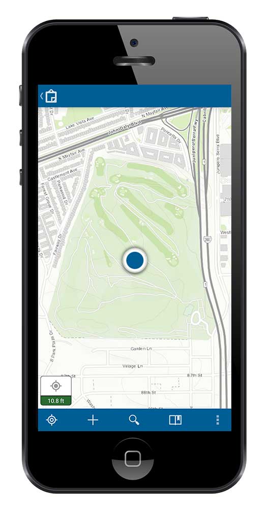
Esri Collector is the backbone of all Esri’s field apps. By connecting it to Survey123, users can fill out survey forms through its interface. You can download both apps on Android or Apple for free through the app store. Every day, these collection types of apps are empowering organizations. Here’s a free lesson on how to set up surveys in Survey123.
If you want to fly unmanned aircraft (UAS), each country has its own rules and regulations. For example, the Federal Aviation Agency (FAA) has implemented a set of standard rules for drones within specific weight restrictions. If you’re north of the border, it’s Transport Canada that sets safety rules. Read up on this because safety comes first.
For those who just need credentials
If you don’t want to go “all in” with a GIS degree, the alternatives are a GIS diploma, certification, or online programs. We’ve dedicated entire articles to these types of opportunities.

- Making the Grade with a GIS Online Certificate Program
- GIS Certification: Is It Worth It? GISP vs Esri Technical Certification
- What Can You Do with a GIS Degree?
In GIS, the three main GIS certifications that employers look for are GISP or Esri Technical Certification. All certification programs expect a level of proficiency in GIS and test your skill level:
- Geographic Information Systems Professional (GISP) requires at least 4 years of full-time experience in GIS, contributions to the GIS community, and passing the GISCI Geospatial Core Technical Knowledge Exam.
- Esri Technical Certification (Desktop, Developer, and Enterprise) is completely knowledge-focused and exam-based.
Because these give the extra credentials you need, they help separate you from the crowd. It’s often not a bad idea to invest some time and money in any of these options.
How to learn GIS for free
From learning to code… to building web maps… or doing data collection in the field… if you want to learn GIS, it’s never too late.
And don’t forget:
Once you learn these skills, you’re like the talented Mr. Ripley because these are all transferable talents. For example, cartography applies to graphic design, as does automation to programming.
Time to finish:
GIS is still in its heyday. And it might just be the most “booming” career in terms of geography degrees. There are thousands of ways to apply and learn GIS.
What are some of your favorites? Let us know with a comment below.


I’m very interested in pursuing my career in advanced GIS. How could I follow the free online training and courses?
Am very interested in learning GIS
Hi, how can I get GIS courses? Thanks
Nice piece. Really love it… Gently sucks you in.
Thank you.
The wonderfully accessible resources available make learning GIS less intimidating. This article is extremely helpful. Thanks for sharing!
I am interested in learning about this field.
Am interested in pursuing a career in GIS