Map of Latvia
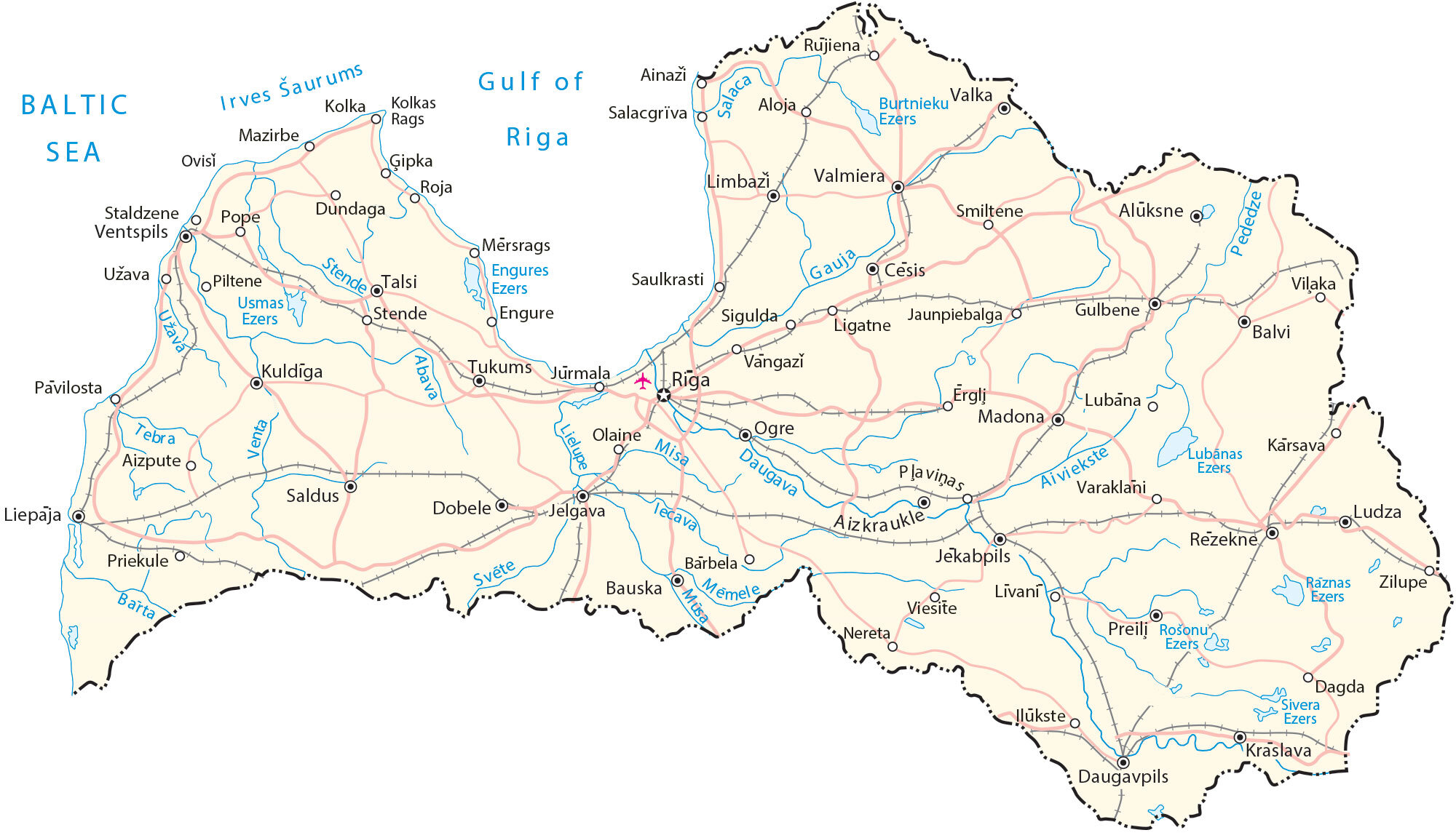
This map of Latvia features its major cities, rivers, and highways. The satellite and elevation maps highlight Latvia’s upland areas and its vast swaths of forests covering a large portion of the country.
Latvia map collection
You are free to use our Latvia map for educational and commercial uses. Attribution is required. How to attribute?
About the map
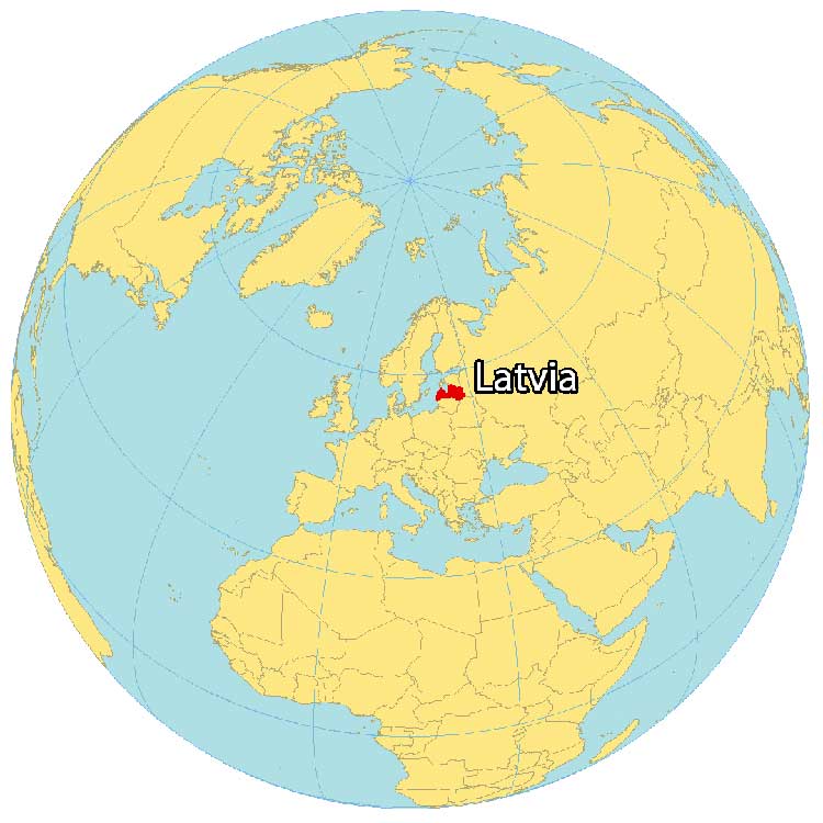
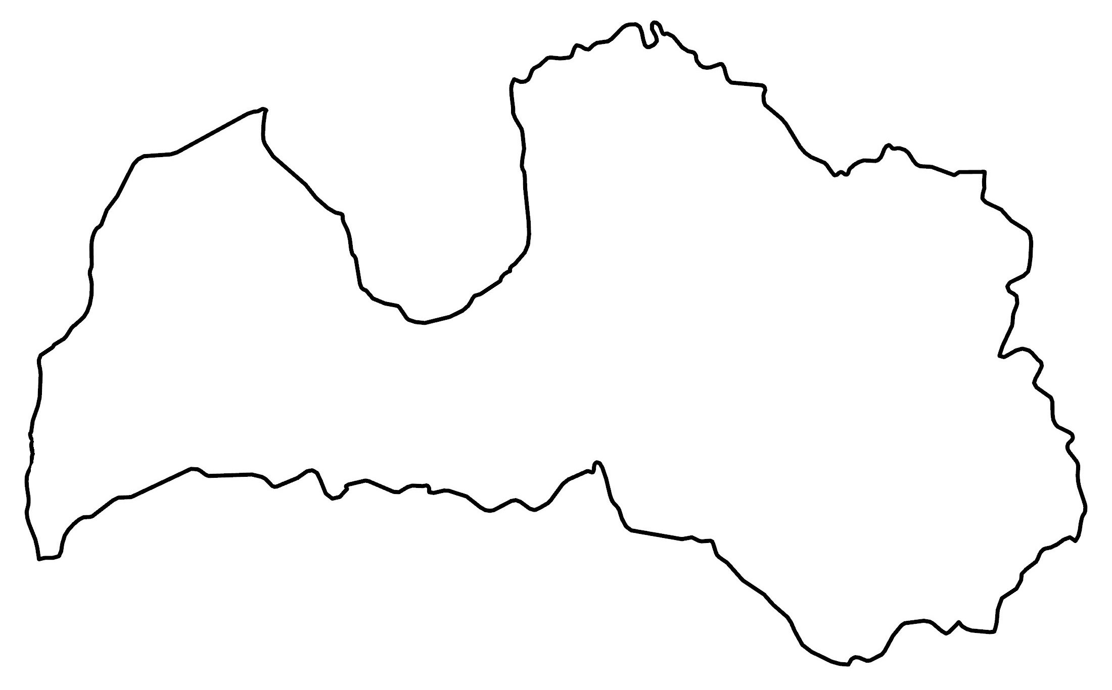
Latvia is a country shaped like a bow tie, located in eastern Europe. It borders four countries. Estonia is to the north, Belarus is to the southeast, Lithuania is to the south, and Russia is to the east.
Latvia is situated along the coast of the Baltic Sea and the Gulf of Riga. Riga is the capital and the largest city at the confluence of the Daugava River and the Gulf of Riga.
The country occupies an area of 64,589 square kilometers (24,938 sq mi), almost identical in size to its neighbor, Lithuania. Latvia has a population of 1.9 million people and its official language is Latvian.
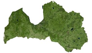
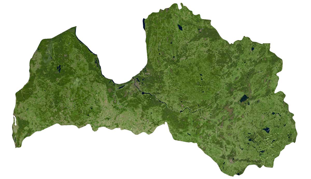
SATELLITE IMAGERY
Latvia Satellite Map
Forests cover approximately 42% of Latvia but some estimates have it as high as 52%. Latvia consists of three main regions. First, the Kurzeme is an upland region in the west. Secondly, the Vidzeme in the heartland, which includes its highest peak, Gaiziņkalns. Finally, Latgale is another upland region covered in forest and filled with historical significance. The Zemgale Plains are also another notable region in Latvia, which is mostly flat with some valleys.
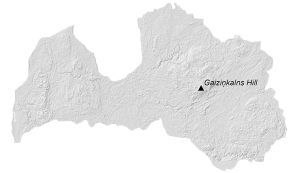
PHYSICAL MAP
Latvia Elevation Map
The terrain in Latvia is flat and mostly low-lying plains. Even though it’s flat and fertile, it’s also very wet with a maritime climate. In the east of Latvia, the terrain is more rugged and hilly.
Its highest point is the Gaising (Gaiziņkalns) which is just 312 meters above sea level. Whereas its lowest point is in the Baltic Sea. As already mentioned, its three main upland regions are the Kurzeme, Vidzeme, and Latgale.

Capital City
Riga
Major cities and towns
Cesis
Daugavpils
Jelgava
Jekabpils
Jurmala
Kuldīga
Liepaja
Ogre
Rēzekne
Tukums
Valmiera
Ventspils
Cities, towns and villages
Ainaži
Aizkraukle
Aizpute
Aloja
Bauska
Balvi
Bauska
Dobele
Engure
Gulbene
Ilgas
Jaunpiebalga
Kārsava
Kolka
Kārsava
Kolka
Kuldīga
Ligatne
Limbazi
Ludza
Madona
Mazirbe
Mērsrags
Nereta
Olaine
Pāvilosta
Piltene
Pļaviņas
Priekule
Pope
Rūjiena
Roja
Saldus
Saulkrasti
Sigulda
Skrunda
Smiltene
Staldzene
Talsi
Varaklani
Ventspils
Viesite
Vilaka
Vangazi
Valka
Zilupe
Lakes and rivers
Abava River
Aiviekste River
Barta River
Burtnieku Lake
Daugava River
Engures Lake
Gauja River
Irbe Strait
Lielupe River
Mēmele River
Misa River
Müsa River
Pededze River
Rāznas Lake
Rošonu Lake
Salaca River
Sivera Lake
Stende River
Světe River
Tebra River
Užava River
Venta River