South Dakota County Map
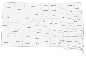
This South Dakota county map displays its 66 counties. Minnehaha County, Pennington County and Lincoln County are most populated in South Dakota.
This South Dakota county map displays its 66 counties. Minnehaha County, Pennington County and Lincoln County are most populated in South Dakota.
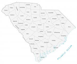
This South Carolina county map displays its 46 counties. Greenville, Richland and Charleston county are the most populated counties in South Carolina.
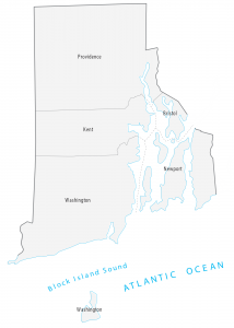
This Rhode Island county map displays its 5 counties. Providence, Bristol, Kent, Newport and Washington are its Rhode Island’s counties.
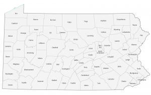
This Pennsylvania county map displays its 67 counties. Philadelphia, Allegheny and Montgomery have the highest population for all counties in Pennsylvania.
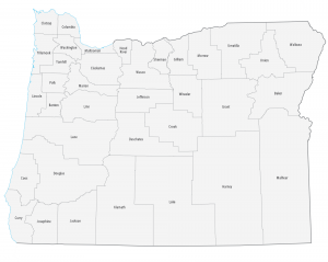
This Oregon county map displays its 36 counties. For example, Multnomah, Washington and Clackamas counties have the highest population in Oregon.
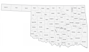
This Oklahoma county map displays its 77 counties. Oklahoma, Tulsa and Cleveland County are some of the most populated counties in Oklahoma.
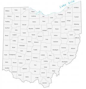
This Ohio county map displays its 88 counties. Franklin, Cuyahoga and Hamilton counties have the highest population in Ohio.
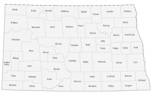
This North Dakota county map displays its 53 counties. Cass, Burleigh and Grand Forks county have the highest population of all counties in North Dakota.
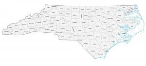
This North Carolina county map displays its 100 counties. Mecklenburg, Wake and Guilford counties have the highest population in North Carolina.
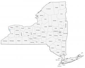
This New York county map displays its 62 counties. Kings, Queens and New York county are some of the largest counties in New York in terms of population.