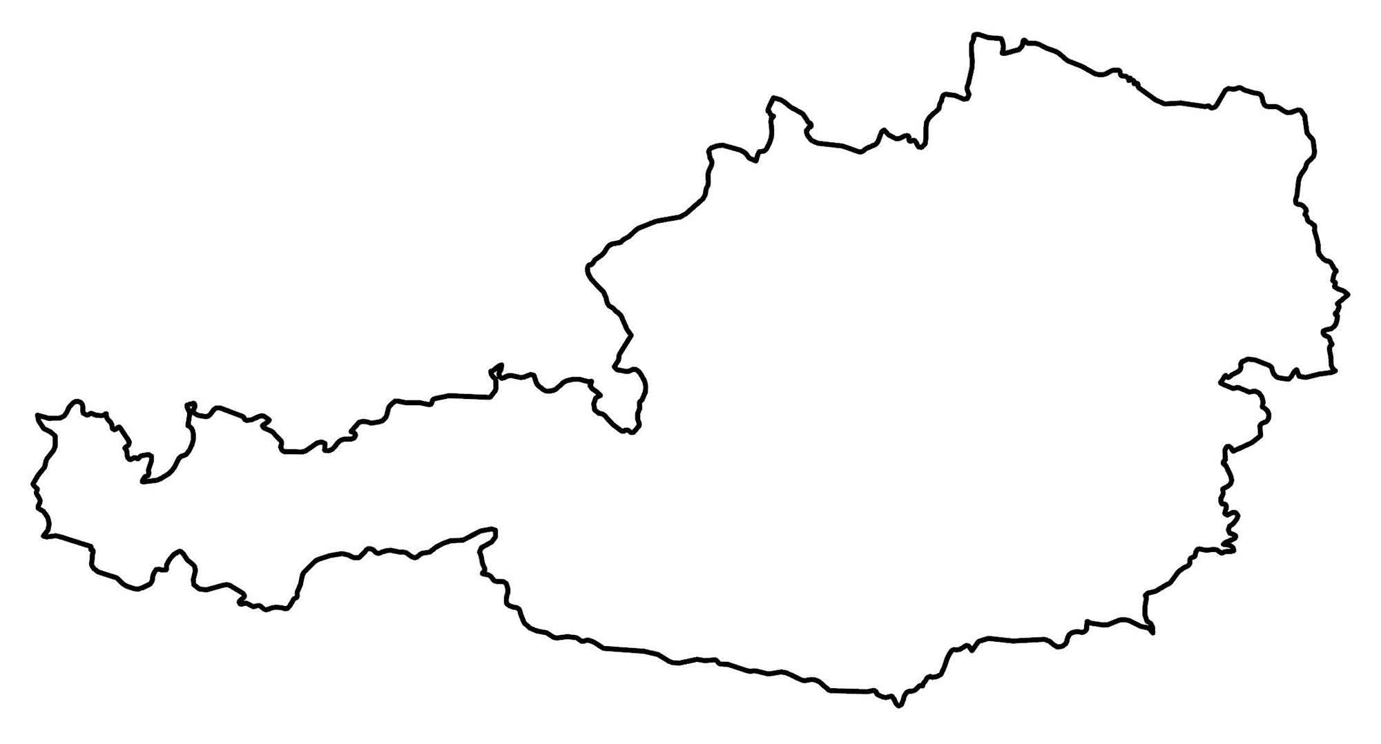
Map of Austria
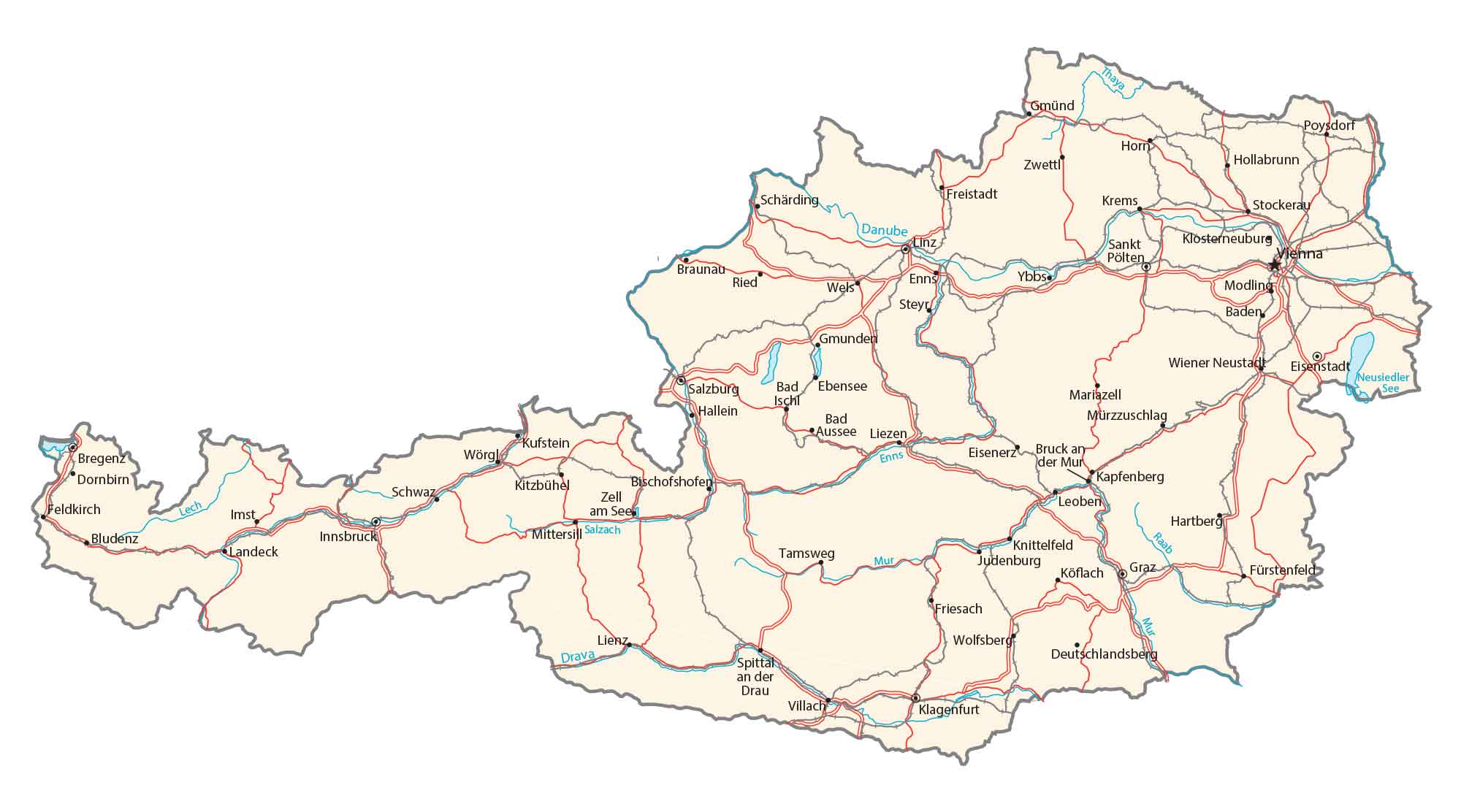
This map of Austria contains major cities, rivers, lakes, roads, and highways. It also features a satellite and elevation map showing topographic features like the Alps, Tauern Mountains, and the Danube Valley.
You are free to use our Austria map for educational and commercial uses. Attribution is required. How to attribute?
Austria map collection
About the map
Austria is a landlocked country, known for its rugged terrain because of its central position in the Alps. In the northeast, Austria is mostly flat or gentle-sloping. This is where most of Austria’s population is concentrated, including its most populous and capital city, Vienna.
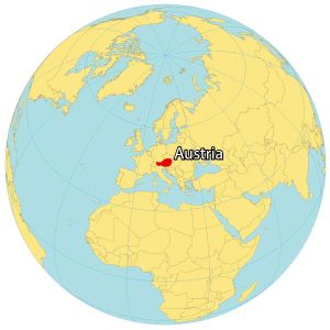
The country is situated in Central Europe with Italy and Slovenia to the south, Hungary to the southeast, Slovakia to the east, the Czech Republic to the north, Germany to the northwest, as well as Switzerland and Liechtenstein to the west.
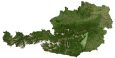
SATELLITE IMAGERY
Austria Satellite Map
Austria occupies an area of 83,879 square kilometers (32,385 sq mi). In comparison, it’s similar in size to the Czech Republic. Forests cover approximately 47% of Austria, which makes it one of the most forested countries in Europe.
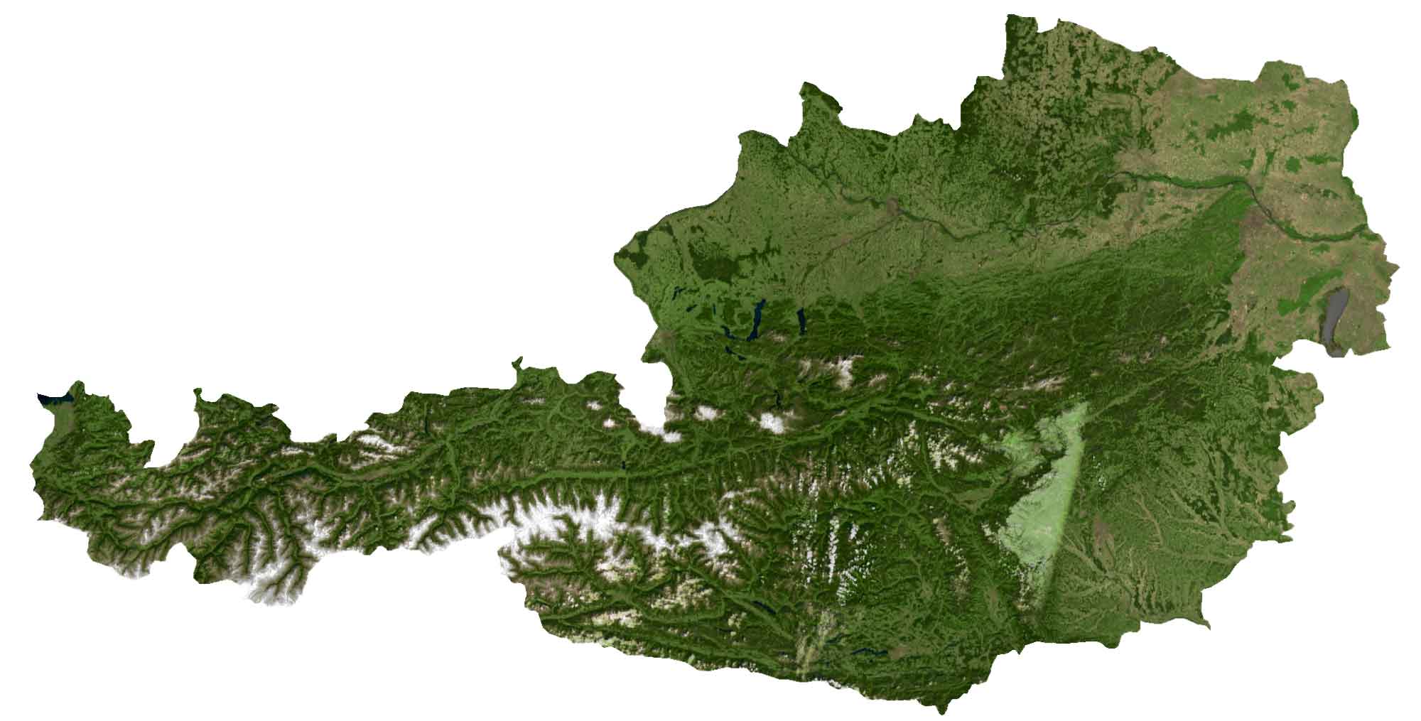
It’s not as well-known, but Austria is home to the world’s largest and longest ice cave system. Specifically, Eisriesenwelt (Ice Giants World) is a natural limestone cave system stretching out to 42 kilometers (26 miles) in length.
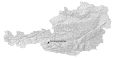
PHYSICAL MAP
Austria Elevation Map
The Alps are a dominant feature in Austria as they span a large portion of the country from west to south. At 3,798 meters (12,461 ft) high within the Alps, its highest point is a peak known as the Grossglockner in west-central Austria.

But in the northeast, Austria is mostly flat or gentle-sloping with the highest concentration of Austria’s population. While its largest lake is Lake Constance (known as the Bodensee), its longest river is the Danube River.
Capital City
Vienna
Major cities
Graz
Linz
Salzburg
Innsbruck
Villach
Wels
Sankt Pölten
Dornbirn
Cities and towns
Bregenz
Feldkirch
Bludenz
Schwaz
Imst
Landeck
Poysdorf
Horn
Zwettl
Hollabrunn
Freistadt
Krems
Stockerau
Schärding
Klosterneuburg
Braunau
Ybbs
Enns
Ried
Steyr
Mödling
Baden
Gmunden
Bad Ischl
Ebensee
Hallein
Bad Aussee
Liezen
Wörgl
Kufstein
Kitzbühel
Zell am See
Mittersill
Mariazell
Mürzzuschlag
Eisenstadt
Hartberg
Knittelfeld
Judenburg
Köflach
Fürstenfeld
Friesach
Wolfsberg
Deutschlandsberg
Tamsweg
Spittal an der Drau
Klagenfurt
Lakes and rivers
Lake Neusiedl
Thaya River
Danube River
Salzach River
Drava River
Enns River
Mur River
Raab River
Lech River