Burma Map (Myanmar Map)
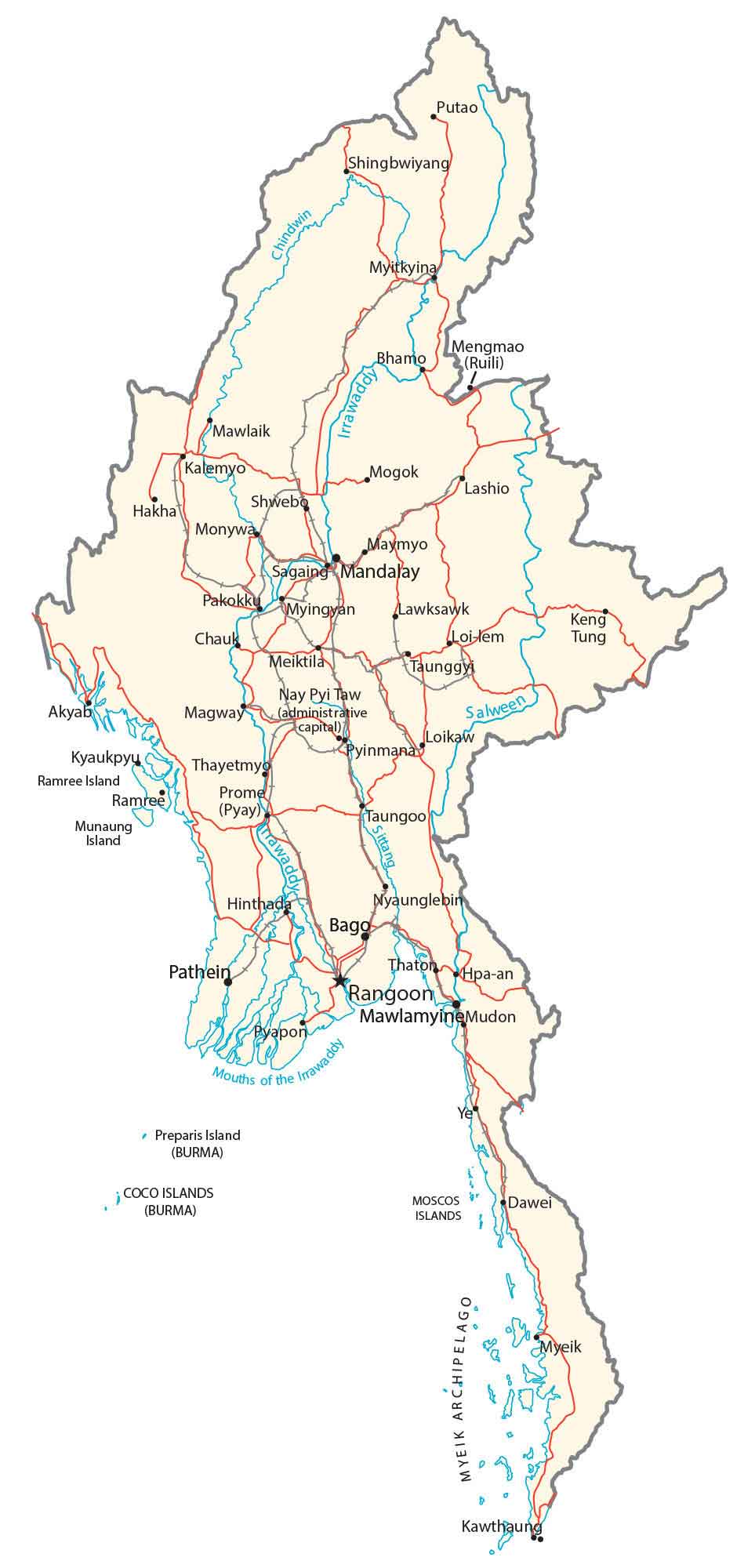
This map of Myanmar (Burma) displays major cities, towns, roads, and rivers. It includes key features such as its mountain ranges shown in a topographic map and satellite imagery.
You are free to use our Burma map for educational and commercial uses. Attribution is required. How to attribute?
About the map
Myanmar (Burma) is a country located in Southeastern Asia. It borders 5 other countries including China to the northeast, Laos, and Thailand to the southeast, as well as Bangladesh and India to the northwest.
Also, it shares about 1,930 km (1,200 mi) of contiguous coastline with the Andaman Sea and the Bay of Bengal. The capital city of Myanmar is Naypyidaw, but its largest city is Yangon (Rangoon) followed by Mandalay.
Myanmar is the tenth-largest country in Asia and occupies a total area of 676,578 square kilometers (261,228 sq mi). It’s larger than the area of Afghanistan but smaller than the size of Turkey. Also, it includes a small group of islands from the Mergui Archipelago in the southwest of the Andaman Sea.
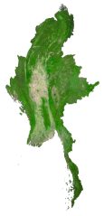
SATELLITE IMAGERY
Burma Satellite Map
According to the FAO, forests cover 48.3% of Myanmar with agriculture as its second greatest land use. While Indawgyi Lake is Myanmar’s largest natural freshwater lake, the Mekong River is the longest watercourse that almost flows through the whole country.

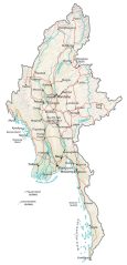
PHYSICAL MAP
Burma Physical Map
The terrain of Burma is a mixture of central lowlands and rugged highlands. For example, its major mountains include Arakan Mountains, Pegu Range, the Himalayas, the Shan Plateau, and the Tenasserim Hills. But its highest point is Mount Hkakabo in northern Myanmar on the border with China. At 5,881 meters (19,295 feet), is also the highest peak in all of mainland Southeast Asia.
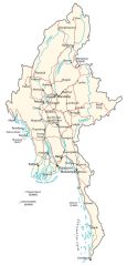
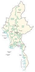
POLITICAL MAP
Burma Regions Map
Myanmar contains twenty-one administrative subdivisions in total. This includes 7 regions, 7 states, 1 union territory, 1 self-administered division, and 5 self-administered zones with each state or region holding its executive authority. The presidential palace is located in Naypyidaw, near the geographic center of Myanmar.
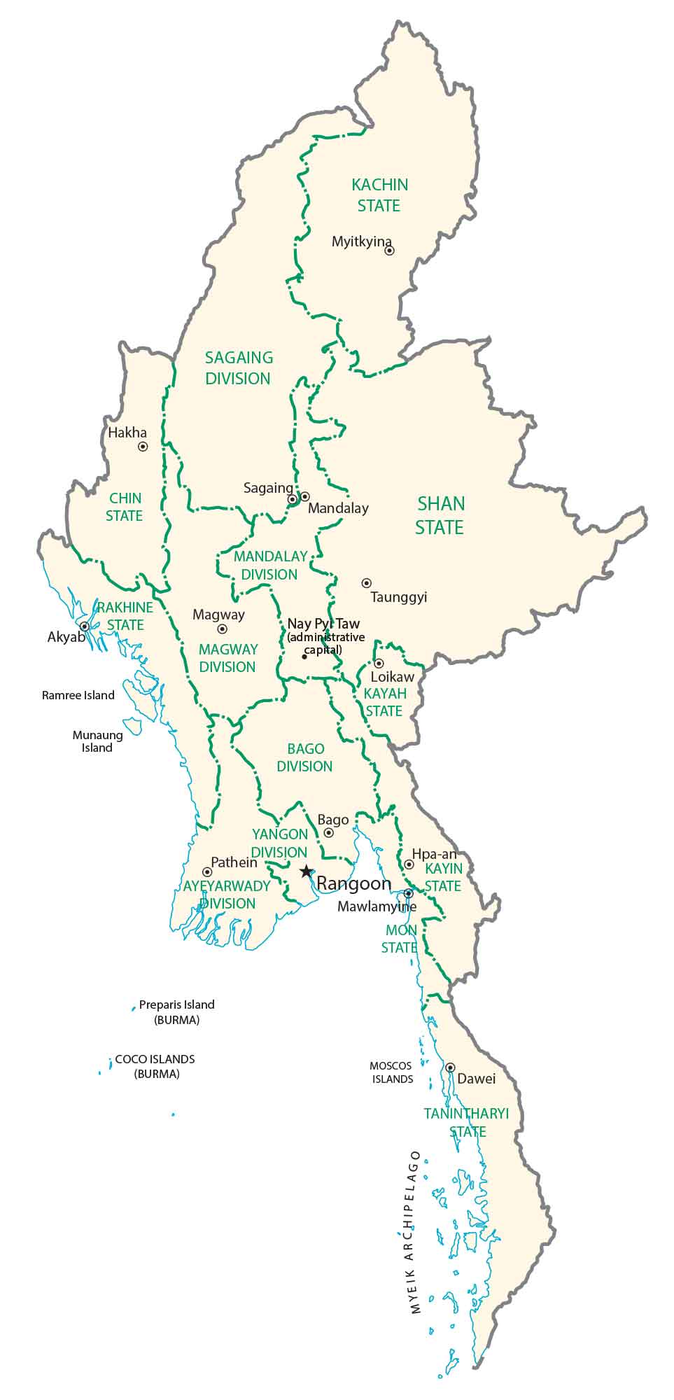
Capital City
Nay Pyi Taw
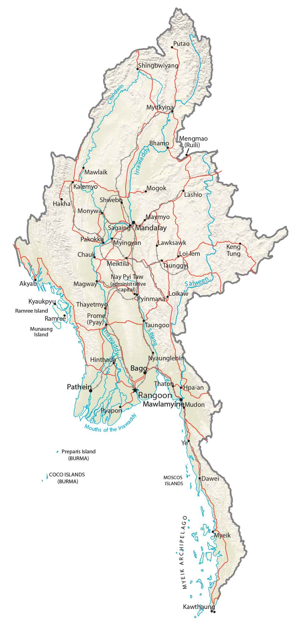
Major cities and towns
Rangoon (Yangon)
Mandalay
Myitkyina
Bhamo
Monywa
Sagaing
Pakokku
Taunggyi
Pathein
Mawlamyine
Dawei
Cities, towns and villages
Putao
Shingbwiyang
Mengmao
Mawlaik
Kalemyo
Mogok
Lashio
Shwebo
Hakha
Maymyo
Myingyan
Lawksawk
Kengtung
Chauk
Loi-lem
Tung
Meiktila
Akyab
Magway
Loikaw
Kyaukpyu
Pyinmana
Thayetmyo
Prome (Pyay)
Taungoo
Hinthada
Nyaunglebin
Bago
Pyapon
Thaton
Hpa-an
Mudon
Kawthaung
Myeik (Mergui)
Lakes, rivers and creeks
Chindwin River
Irrawaddy River
Salween River
Sittang River
Islands
Ramree Island
Munaung Island
Preparis Island
Coco Islands
Moscos Islands
Myeik Archipelago


Hi there, great source of Information! Thanks!
In the Burma Satellite Map, there’s a mistake on the River information.
The “main” river of Myanmar is the Irrawady that goes through the entire country, the Mekong river simply marks the border between Myanmar and Laos (to simplify).