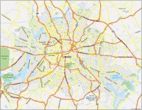
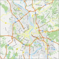
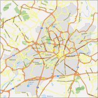
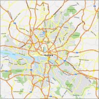
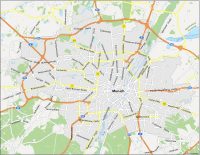
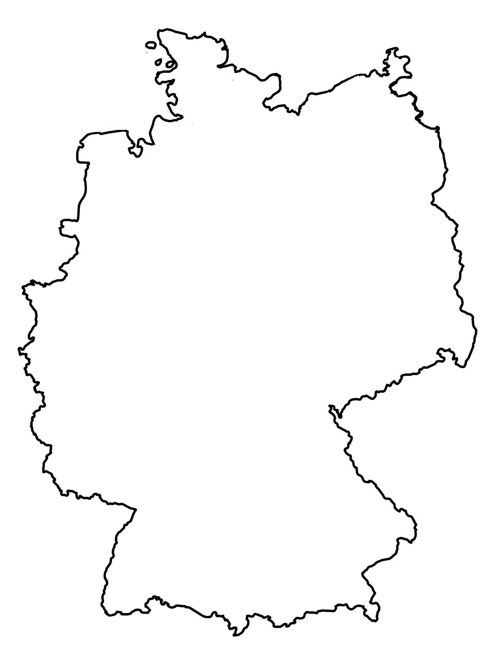
Map of Germany – Cities and Roads

This map of Germany highlights some of its major cities and geographic features. It also features a satellite and elevation map that displays Germany’s unique topography and highest peak.
Germany map collection

You are free to use our Germany map for educational and commercial uses. Attribution is required. How to attribute?
About the map
Germany is a country in Central Europe, known for the mountainous Alps, forested plateau, and lowland terrain in the north. Germany has a population of over 83 million people. The capital city is Berlin, and other major cities include Hamburg, Munich, Cologne, and Frankfurt. The German landscape is varied, with forests, mountains, rivers, and plains.
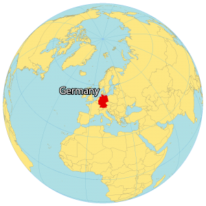
Germany borders Denmark to the north, Poland and the Czech Republic to the east, Austria to the southeast, Switzerland to the south, France to the southwest, as well as Luxembourg, Belgium, and the Netherlands to the west. It also shares a coast with the North Sea to the northwest and the Baltic Sea to the northeast (also known as the German Riviera).
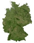
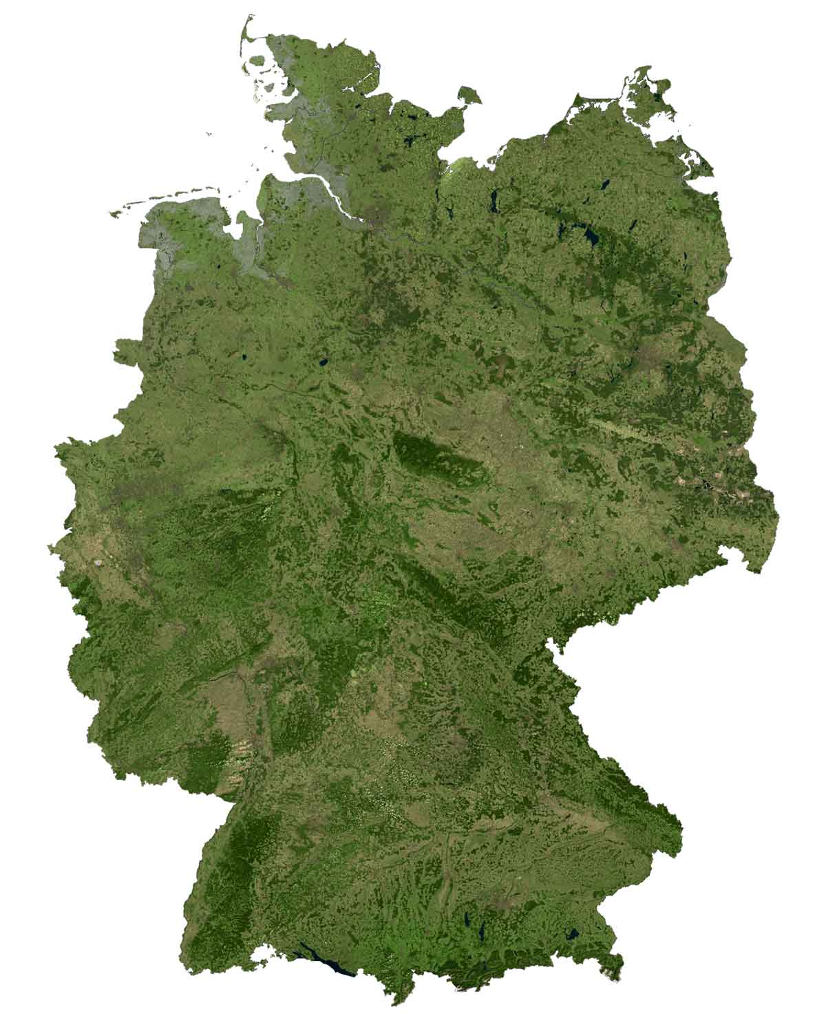
SATELLITE IMAGERY
Germany Satellite Map
Approximately 33% of Germany is covered in forests, which includes the Black and Bohemian Forests. The major rivers that cut through Germany are Elbe, Weser, Danube, and Rhine Rivers. Lake Müritz in northwestern Germany occupies an area of over 110 square kilometers (42 square miles).
If you don’t include Lake Constance (which spans Austria and Switzerland), this makes it the largest lake in Germany. The Ore Mountains (Erzgebirge) span the southeastern region, a UNESCO heritage site with a history of mining through the Middle Ages.
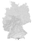
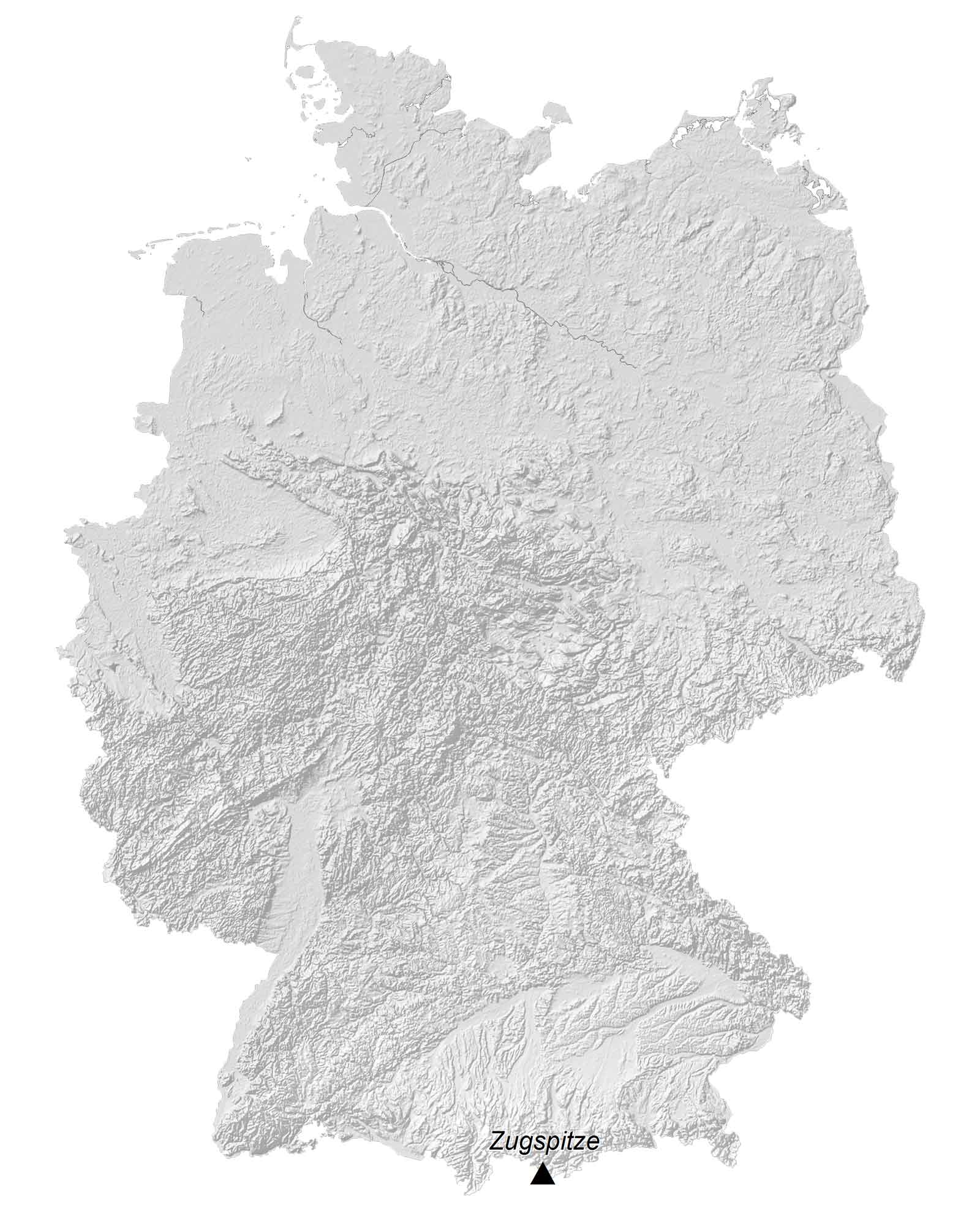
PHYSICAL MAP
Germany Elevation Map
The terrain in Germany is mostly lowlands in the north. Then, it transitions from the uplands in the center to the Bavarian Alps in southern Germany. At 2,963 meters (9,721 ft) in height, Germany’s highest mountain peak is the Zugspitze.
This mountain is situated at the border of Liechtenstein in the south of Germany and is part of the Wetterstein Mountains and Bavarian Alps. Three of the five glaciers in Germany are found on the flanks of the massive Zugspitze mountain peak.
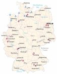
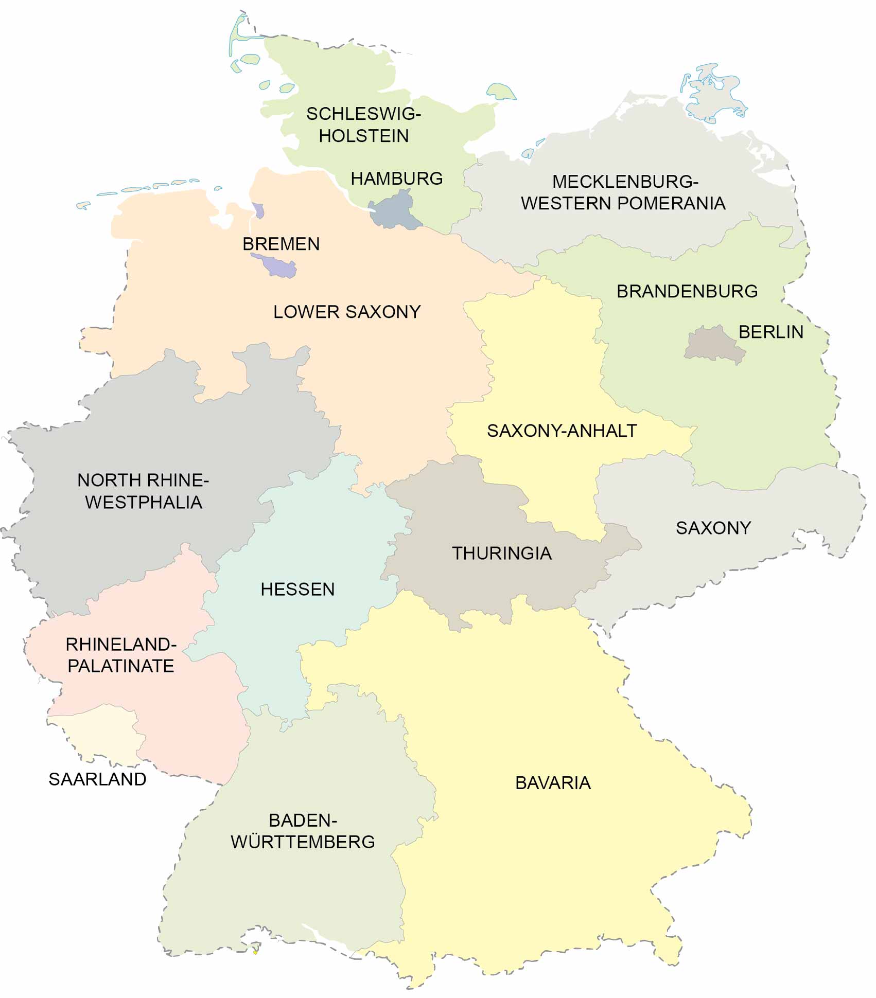
POLITICAL MAP
Germany States Map
States are the first-level administration unit in Germany. Currently, there are 16 states (Bundesländer in German). Berlin and Hamburg are the two city-states. Similarly, Bremen and Bremerhaven combine as a third city-state.
The remaining thirteen are area states, which incorporate several cities, towns, and communities. Finally, Bavaria is the largest state in Germany and occupies close to one-fifth of Germany’s land area. Also, it holds Munich, which is one of the most popular tourist cities in Germany.
Capital City
Berlin
Major cities
Cologne
Dortmund
Dresden
Dusseldorf
Frankfurt
Hamburg
Leipzig
Munich
Stuttgart
Cities, towns and villages
Augsburg
Bielefeld
Bremen
Chemnitz
Coburg
Cottbus
Duisburg
Erfurt
Essen
Flensburg
Freiburg
Giessen
Hannover
Hof
Karlsruhe
Kassel
Kiel
Koblenz
Lubeck
Magdeburg
Mannheim
Nurnberg
Oldenburg
Osnabruck
Passau
Potsdam
Regensburg
Rosenheim
Rostock
Schwerin
Stralsund
Ulm
Wurzburg
Rivers, lakes and bays
Elbe River
Mecklenburg Bay
Müritz Lake
Obersee Lake
Rhine River
Weser River
Landforms and geography
Harz Highland
Erzgebirge Ore Mountains
Bohemian Forest