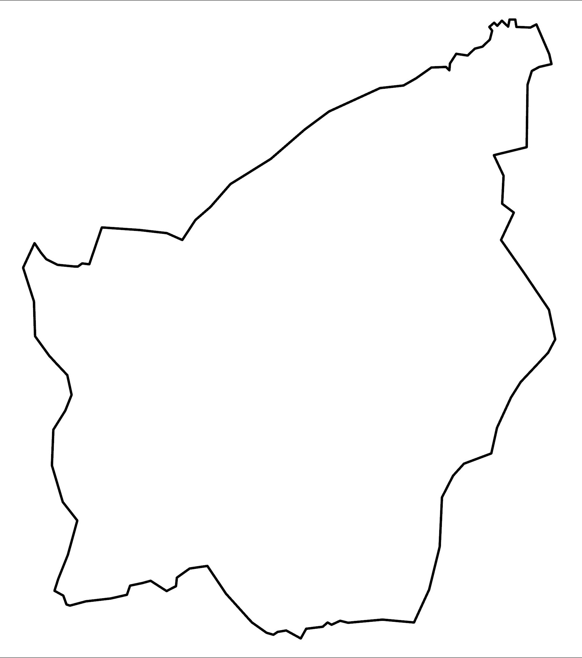
Map of San Marino
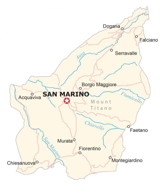
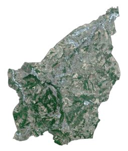
This map of San Marino shows towns, villages, hamlets, rivers, and highways. It includes a satellite map that displays the hilly terrain as it doesn’t have much flat ground being part of the Apennine mountain range.
San Marino map collection
You are free to use our San Marino map for educational and commercial uses. Attribution is required. How to attribute?
About the map
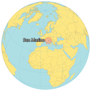
San Marino is a small microstate country, completely surrounded by Italy. It occupies an area of 61.2 square kilometers (23.6 sq mi), which makes it the fifth-smallest country in the world.
The capital is San Marino City, situated next to Mount Titan (Monte Titano). But its largest settlement is Dogana, located in the north. Even though San Marino is completely enclosed by one of the most visited countries in the world (Italy), it’s the least visited country in Europe.
SATELLITE IMAGERY
San Marino Satellite Map
San Marino is mountainous and is part of the northern side of the Apennine Mountains. Its population is just over 33,500 people and its primary language is Italian.

San Marino does not have any lakes but has several large flowing rivers including Ausa, Fiumicello, and the San Marino River. The country does not have any airports but it has a heliport in Borgo Maggiore. Only 16.7% of San Marino is forested with a minimal amount of area classified as water.
Capital City
San Marino
Populated places
Acquaviva
Borgo Maggiore
Chiesanuova
Dogana
Faetano
Falciano
Fiorentino
Montegiardino
Murata
Serravalle
Rivers in San Marino
Ausa River
Chiavello River
Fiumicello River
San Marino River
Mountain peaks
Mount Titano


