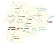
Andorra Map and Satellite Imagery

This Andorra map shows the towns, villages, hamlets, lakes, rivers, and highways of one of the smallest nations in the world. A satellite map highlights the rugged terrain of the Pyrenees Mountains with the narrow valleys resulting from the peaks.
Andorra map collection
You are free to use our Andorra map for educational and commercial uses. Attribution is required. How to attribute?
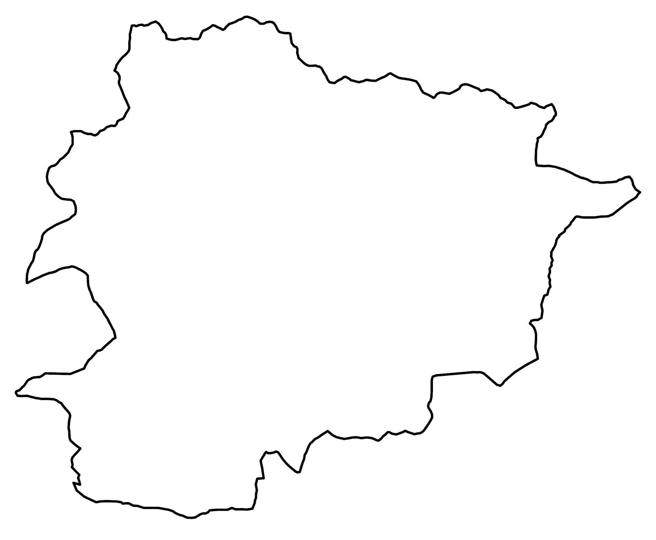
About the map
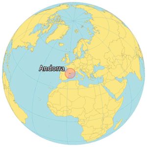
Andorra is an incredibly small micronation located between Spain in the south and France in the north. It’s so small that if you traveled along the perimeter of Andorra, it would only be 120 kilometers (75 mi) in distance.
This might take you a bit more than an hour to travel along its entire perimeter! Andorra occupies a size of 181 square miles (468 square kilometers) and is the sixth smallest state in Europe.
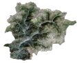
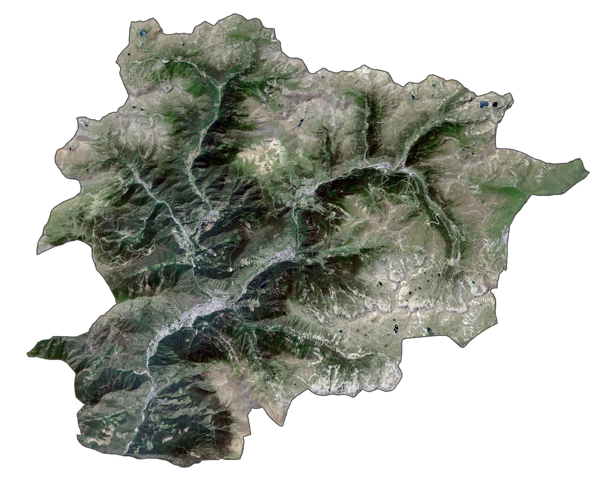
SATELLITE IMAGERY
Andorra Satellite Map
Andorra has rugged terrain because of its location in the Pyrenees mountain range. The highest peak is the Coma Pedrosa at 2,942 meters (9,652 ft) northwest of Andorra. Andorra la Vella is the capital and largest city with a population of approximately 23,000 people.
Approximately 36% of Andorra is covered in forests such as in the Comapedrosa and Sorteny Valley Nature Parks. Some of the largest rivers in Andorra include the Valira, Madriu, and Valira del Nord.
Capital City
Andorra La Vella
Cities and towns
Arinsal
Pas
El Serrat
Llorts
Arnisal
La Cortinada
Ordino
La Massana
Canillo
Sant Julia de Loria
Encamp
Soldieu
Les Esclades
Pas de la Casa
Lakes, rivers and creeks
Rialb River
Gran Valira
Madriu River
Estany Primer de Juclar
Lake Engolasters
Estany de l’Illa
Estany de Montmalús
L’Ariège River
Mountains
The Pyrenees


