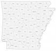
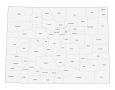
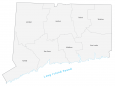
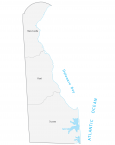
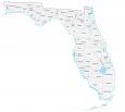
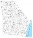
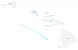
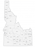
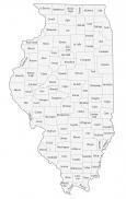
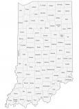
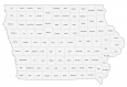
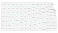
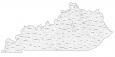
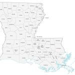
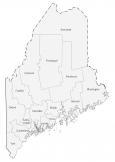
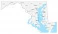
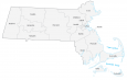
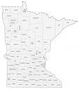
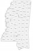
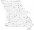
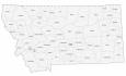
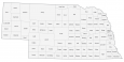
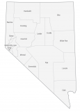
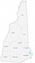
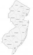
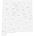
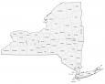
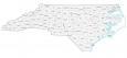
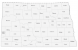
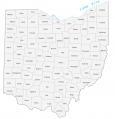
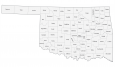
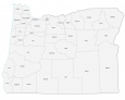
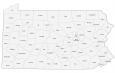
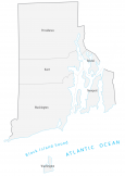
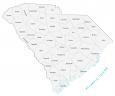
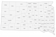
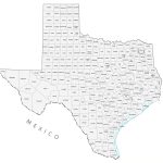
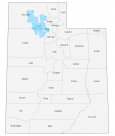
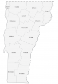
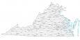
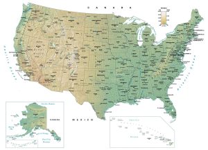
US County Map of the United States
This US county map shows the 3,143 counties and county-equivalent administration areas including parishes, boroughs, census areas, independent cities, and the District of Columbia.
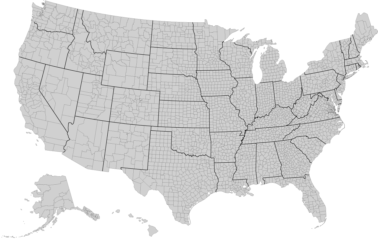
You are free to use our US county map for educational and commercial uses. Attribution is required. How to attribute?
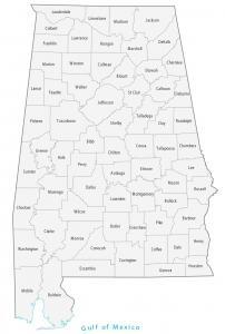
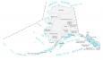
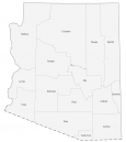
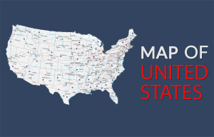
Select a US county map to view the counties, parishes, or boroughs for the state:


This is a useful tool. It would be nice if I could click on a state in the US map to bring up the county map of that state, instead of scrolling down to find it. Just a thought.
USCountyMaps.com has each county mapped – https://uscountymaps.com/
Just wanted to let you know that the image for Delaware appears to have gotten corrupted since it only shows the top portion of the state. Can you please replace it with a clean version?
Thanks!
Everything seems to be working at my end. Maybe the image didn’t fully load? Can you try another browser and see if it works?
I’m curious about political representation of every US county. I’ve been trying to find out which county has a Republican executive or a Democrat executive. All my internet searches lead nowhere. I would appreciate any help you can offer. THANKS
Sorry, but I don’t have this information either.
The county maps are really good! Do you have any municipality maps for any of the states?
Hi Lee. Sorry we don’t yet. But it’s something to consider.
Is there a way to easily find USA county name from lat/long?
Thanks
Frandy
You can do this by using QGIS, which is open source GIS software.
The way that I would do it is to first put your data into lat/long columns. Add your table to QGIS, then convert them to points. Shapefile will be fine.
From here, you’ll need US counties data. I found this at the US census website – https://www.census.gov/geographies/mapping-files/time-series/geo/carto-boundary-file.html
In QGIS, I suggest using the “Intersection Tool”. You can find it under Vector > Geoprocessing Tool > Intersection
Now, all you have to do is enter in your two datasets. Your input layer will be your lat/long shapefile that you’ve created. Your overlay layer will be the US counties dataset. After you run the tool, the output layer will identify each US county based on your lat/long coordinates.
Is there any way to get a NC & SC combined county map?
Is there such a thing as a downloadable version of the big map? Particularly one which has a higher definition so that you can color in counties across state lines?
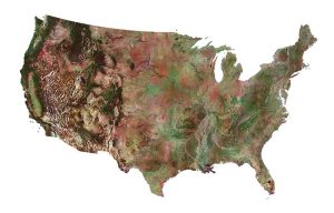
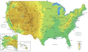
What projection are you using for the U.S. map with counties? Just curious
The maps use the Albers equal area projection for the individual state maps
Any chance you can provide a full US county map that also includes county names?
Sorry but I don’t have that type of map available
Great and useful maps!
I need a county locator map for some counties in GA that I’m working on a project for. Is there a way to enlarge the state map, with the counties that I need, to 8.5 x 11?
Thanks,
Stuart
What size are you looking for? I can try to get something a bit larger for you. Go to our contact form and also specify which US county map you’d like.