Malta Map – Cities and Roads
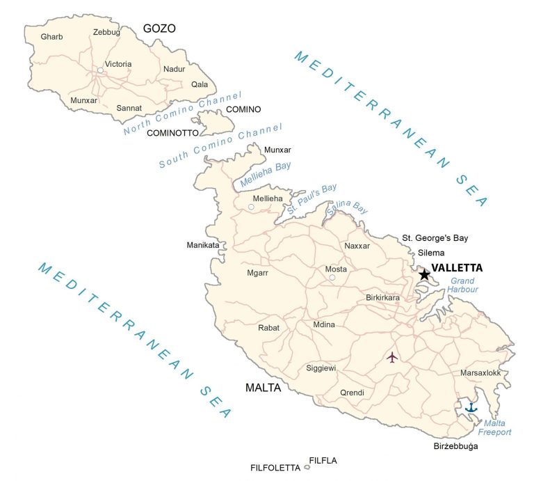
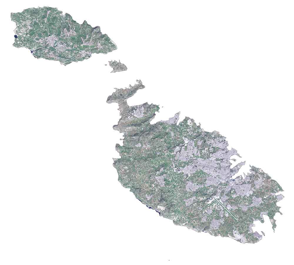
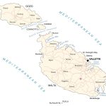
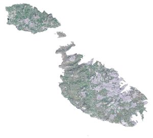
This map of Malta shows populated places, channels, and islands. Satellite imagery and an elevation map display its rugged and indented coastline of harbors and bays.
Malta map collection
You are free to use our Malta map for educational and commercial uses. Attribution is required. How to attribute?
About the map
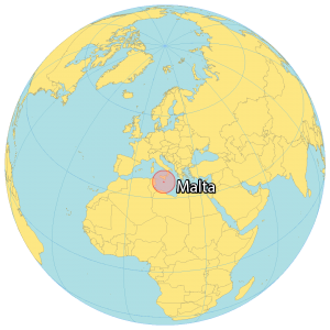
Malta is an island country located in the Mediterranean Sea. It’s approximately 81 kilometers (50 mi) south of Italy. Also, Tunisia is situated 300 kilometers (186 mi) to the southwest.
With a population of just over 500,000, it’s one of the smallest countries in Europe and the tenth smallest in the world.
Malta is known for having a close historical connection to both Europe and North Africa. Valletta is the capital and largest city.
SATELLITE IMAGERY
Malta Satellite Map
Malta occupies an area of 316 square kilometers (122 sq mi) in size. Only Malta’s three largest islands are inhabited. Specifically, this includes Malta, Gozo, and Comino. Whereas its other smaller islands like Manoel Island, St Paul’s Islands, Cominotto are uninhabited.
The country lies between 35°N and 36.6°N latitudes with a Mediterranean climate. While its winters are mild and rainy, its summers are mostly hot and dry. Agriculture and arable land cover 30% of the landmass. But just 1% is forested land.
PHYSICAL MAP
Malta Elevation Map
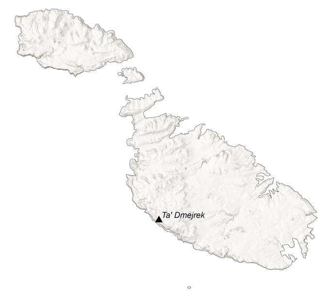
Although Malta has high hills and streams, it has no major rivers or mountain chains. One of its main identifying features is its rugged coastline. This is accompanied by harbors, bays, and beaches. Ta’ Zuta on Dingli Cliffs lies southwest of mainland Malta. At 253 meters (830 ft), this is Malta’s highest point.
Capital City
Valletta
Major islands
Cominotto
Comino
Filfla
Filfoletta
Gozo
Malta
Populated places
Birkirkara
Birżebbuġa
Gharb
Manikata
Marsaxlokk
Mdina
Mellieha
Mgarr
Mosta
Munxar
Nadur
Naxxar
Qala
Qrendi
Rabat
Sannat
Siggiewi
Silema
St. George’s Bay
Victoria
Zebbug
Bays, channels and seas
Grand Harbour
Malta Freeport
Mediterranean Sea
Mellieha Bay
North Comino Channel
Salina Bay
South Comino Channel
St. Paul’s Bay



To whom it may concern,
I will be publishing a book about Malta and its music. Do you permit me to publish the ‘political map’ of malta?
Please see “how to cite” section of the website – https://gisgeography.com/how-to-cite/