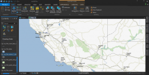
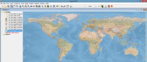
ArcGIS Pro Review: 17 Reasons to Map Like a Pro
Are you thinking of switching to ArcGIS Pro? Whether it’s speed, slickness or simply raw power, here are 17 reasons to make the transition to ArcGIS Pro now
Are you thinking of switching to ArcGIS Pro? Whether it’s speed, slickness or simply raw power, here are 17 reasons to make the transition to ArcGIS Pro now

Esri Collector and Survey123 are the one-two punch for data collection in the field. Collector is the central app which calls Survey123 forms for data entry
Mango Map is ideal for casual users who don’t want a fancy map. This web mapping platform is easy to get a hang of at a reasonable price.

We list geocoding and reverse geocoding services that are available (for free and as paid services) to pinpoint addresses on your maps.
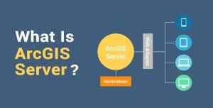
ArcGIS Server is a technology that enables anyone to publish web mapping services and consume them on the internet through a web browser.

Just like any API, the Esri JavaScript API offers ways to create your own custom 2D and 3D webmaps and webscenes to interact with it.
When QGIS releases a new version, it’s kinda a big deal. Because the unsung heroes of open source GIS software are back with QGIS 3!
MapInfo Professional by Precisely (formerly Pitney Bowes) specializes in location intelligence, business analytics, and geocoding services.
OpenJUMP GIS is good at the basics. It started as a tool for data conflation. Then, it grew into a modest size open source project.
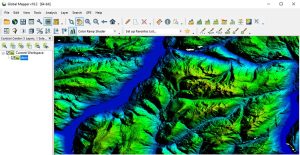
Global Mapper by Blue Marble is a 64-bit GIS application. It has a powerful, intuitive interface, especially with LiDAR and terrain mapping.