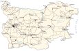
Bulgaria Map – Cities and Roads

This map of Bulgaria displays cities, towns, highways, elevation, and a satellite image of the country. It includes major mountain chains like the Balkan, Rhodope, and Pirin Mountains.
Bulgaria map collection
About the map
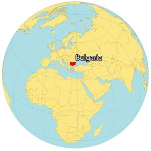
Bulgaria is a country located in Southeast Europe. It borders Romania to the north, Serbia and North Macedonia to the west, as well as Greece and Turkey to the south.
Its coastline along the Black Sea (the Bulgarian Riviera) is approximately 378 kilometers long. Bulgaria is part of the Balkans, occupying the eastern region.
Sofia is the capital and largest city in Bulgaria. Other heavily populated cities include Plovdiv, Varna, and Burgas. Approximately 7 million people reside in Bulgaria with about 1.25 million people in the capital city of Sofia.
You are free to use our Bulgaria map for educational and commercial uses. Attribution is required. How to attribute?
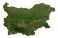
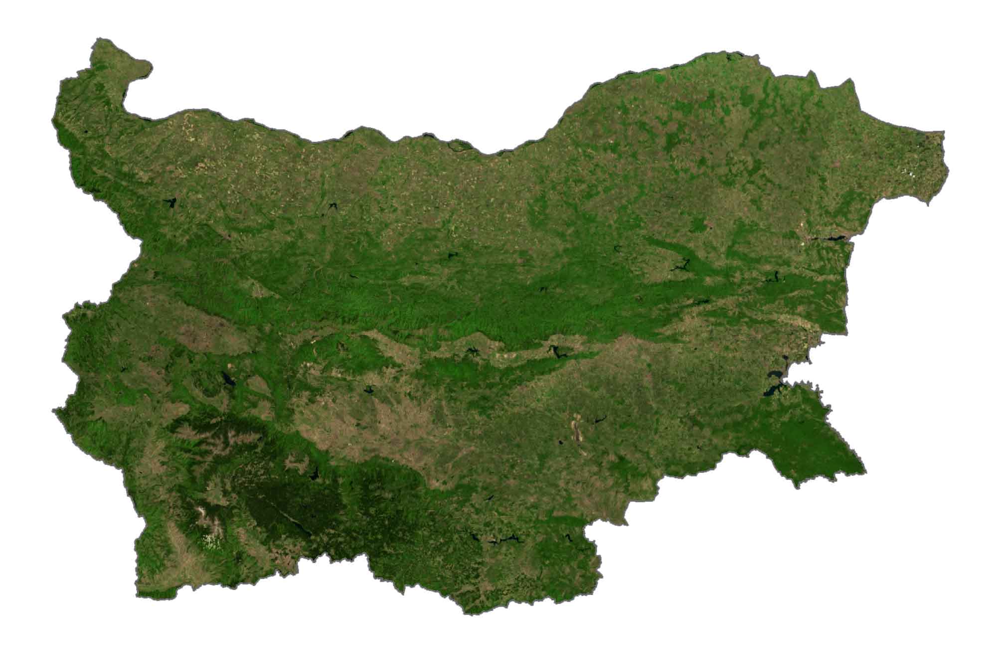
SATELLITE IMAGERY
Bulgaria Satellite Map
Bulgaria occupies an area of 110,879 square kilometers (42,855 sq mi), which is close to the size of Iceland. The climate is hot with cold, damp winters and hot, dry summers. The major rivers of Bulgaria are the Struma, Maritsa, and Danube Rivers, which form a border with Romania to the north.
According to the FAO, forests cover approximately 36% of Bulgaria. But it’s estimated that it may be as high as 42%. Its other major land use is farmland, which extends over 50% of its territory. For example, wheat, maize, and sunflower seeds are major crops that Bulgaria produces.
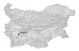
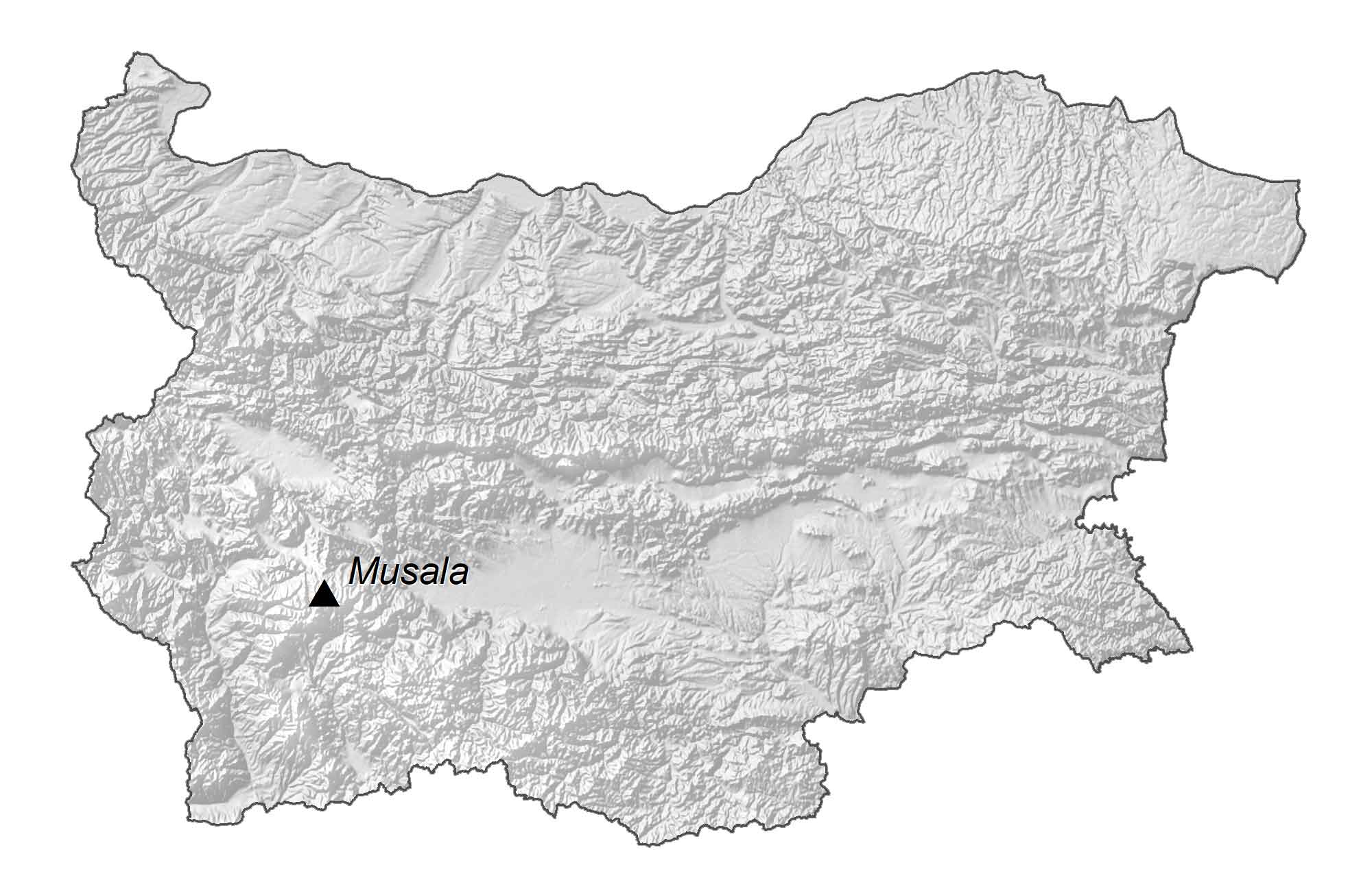
PHYSICAL MAP
Bulgaria Elevation Map
The terrain is mostly mountainous in Bulgaria with the north and southeast regions consisting of lowlands. Its major mountain range is the Balkan Mountains in the northcentral region. Whereas the Rhodope and Pirin Mountains lie in the south of Bulgaria.
At 2,925 meters (9,598 ft) in height, Musala is the highest peak in Bulgaria. This mountain peak translates to “Near God” in Arabic and is situated south of the capital city of Sofia.
Capital City
Sofia
Major cities and towns
Vidin
Ruse
Vratsa
Pleven
Sofia
Pazardzhik
Dobrich
Varna
Kazanluk
Stara Zagora
Burgas
Blagoevgrad
Plovdiv
Asenovgrad
Cities, towns and villages
Bansko
Sandanski
Dospat
Montana
Godech
Pravets
Dimitrovo
Kyustendil
Bregovo
Lukovit
Ustovo
Seviievo
Gabrovo
Klisura
Karlovo
Byala
Omurtag
Turnovo
Sliven
Tutrakan
Kamenovo
Kapitan Dimitrovo
Dulova
Gara Kaspichan
Kharmarli
Rositsa
Michurin
Malko Turnovo
Reservoirs and rivers
Ticha Reservoir
Dospat Reservoir
Danube River
Ogosta River
Yantra River
Black Sea
Highest point
Musala