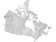
Map of Canada – Cities and Roads

Canada is a country known for its mountains in the west, flat prairies in the center, and Arctic tundra in the north. This Canada map collection includes an elevation map, satellite map, reference map, and provincial map.
Canada map collection

You are free to use our map of Canada for educational and commercial uses. Attribution is required. How to attribute?
About the map
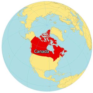
Canada is a country located in the northern part of North America. Its ten provinces and three territories extend from the Atlantic to the Pacific and northward into the Arctic Ocean, covering 9.98 million square kilometers (3.85 million square miles).
This makes it the world’s second-largest country by total area. Canada’s southern border with the United States is the world’s longest land border. The majority of the country has a cold or severely cold winter climate, but southerly areas are warm in summer.
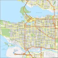
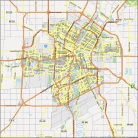
Canada is sparsely populated, with the majority of its land area being dominated by forests and tundra. As a result, its population is highly urbanized, with over 80 percent of its inhabitants concentrated in large and medium-sized cities, many near the southern border. Its capital is Ottawa, and its three largest metropolitan areas are Toronto, Montreal, and Vancouver.
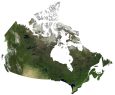
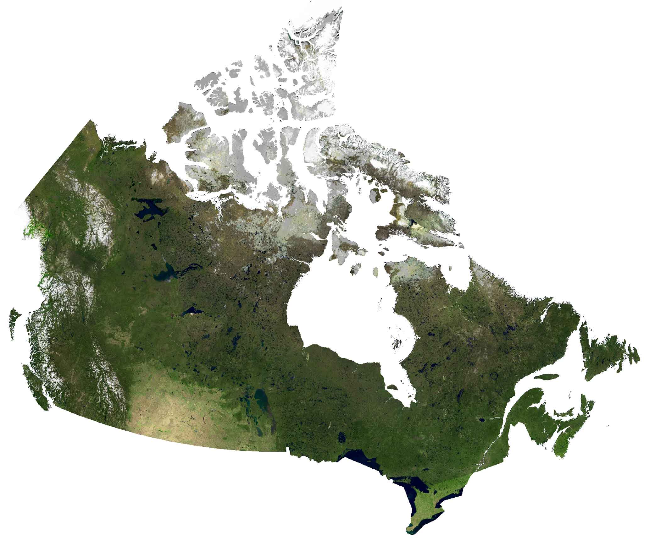
SATELLITE IMAGERY
Canada Satellite Map
Canada borders the United States to the south, forming the longest international border in the world between any two countries. Canada’s population is concentrated in the south. In fact, 9 out of 10 people in Canada live within 100 miles of the US border.
Canada has more lakes than the rest of the world combined, with at least 2 million and possibly over 3 million lakes. Its major regions are the Rocky Mountains in the west. Then, it transitions into the Prairies and Canadian Shield in the central region. Finally, the eastern region is the Maritime provinces.
PHYSICAL MAP
Canada Elevation Map
Canada’s highest point is Mount Logan situated in the west of Canada. This mountain towers to 5,959 meters in height, close to the international border of Alaska. It’s the second-highest peak in all of North America after Denali. The terrain of Canada is mostly mountainous in the west. Then, it moves into plains in the center, and lowlands in the southeast.

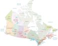
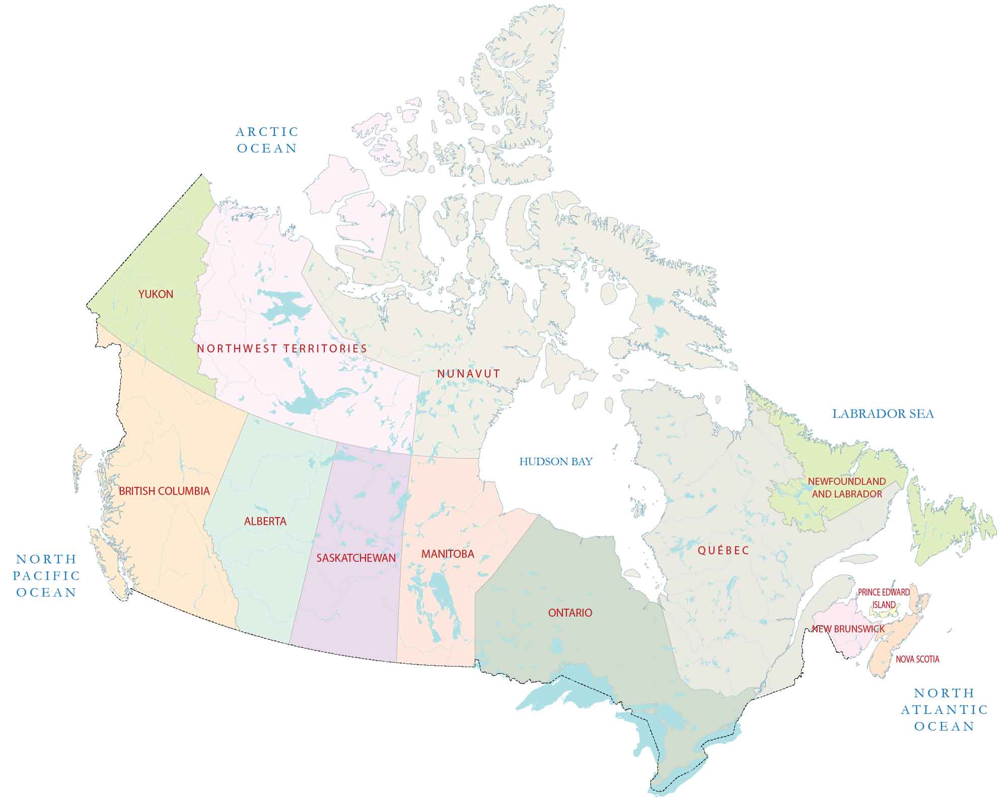
POLITICAL MAP
Canada Provincial Map
Provinces and territories are the first-level administrative units in Canada. Overall, there are 10 provinces and 3 territories. From west to east, the 10 provinces are British Columbia, Alberta, Saskatchewan, Manitoba, Ontario, Quebec, Newfoundland and Labrador, New Brunswick, Prince Edward Island, and Nova Scotia. Territories occupy the northern region of Canada, which includes Yukon, Northwest Territories, and Nunavut.
Capital City
Ottawa
Provinces and territories
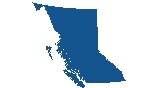
British Columbia
Alberta
Saskatchewan
Manitoba
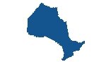
Ontario
Québec
New Brunswick
Prince Edward Island
Nova Scotia
Newfoundland and Labrador
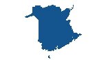
Northwest Territories
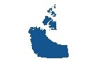
Nunavut
Yukon
Major cities
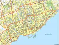
Toronto
Vancouver
Calgary
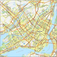
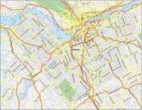
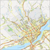
Montreal
Edmonton
Winnipeg
Quebec City
Victoria
Regina
Halifax
Charlottetown
Fredericton
St. John’s
Yellowknife
Other cities
Saskatoon
Thunder Bay
Sudbury
Hamilton
Niagara Falls
London
Saint John
Arctic Bay
Churchill
Iqaluit
Thompson
Alert
Lakes, rivers and seas
Beaufort Sea
Arctic Ocean
Hudson Bay
Hudson Strait
Labrador Sea
James Bay
Lake Winnipeg
Lake Superior
Lake Huron
Lake Ontario
Lake Erie
Gulf of St. Lawrence
Bay of Fundy
North Atlantic Ocean
Islands
Ellesmere Island
Baffin Island
Arctic Archipelago
Geographic Features
Canadian Shield
Mount Logan