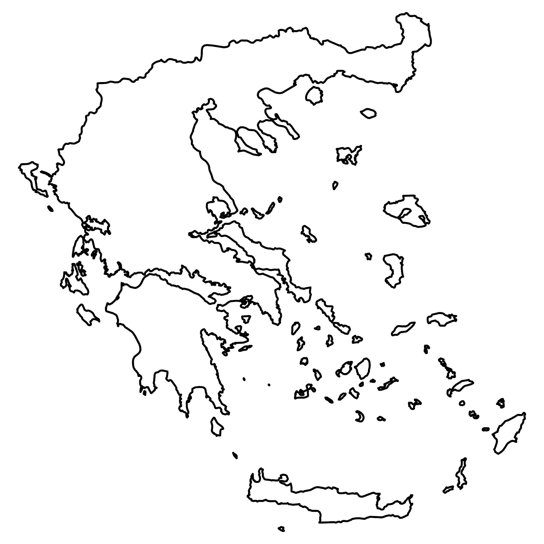
Map of Greece – Cities and Roads
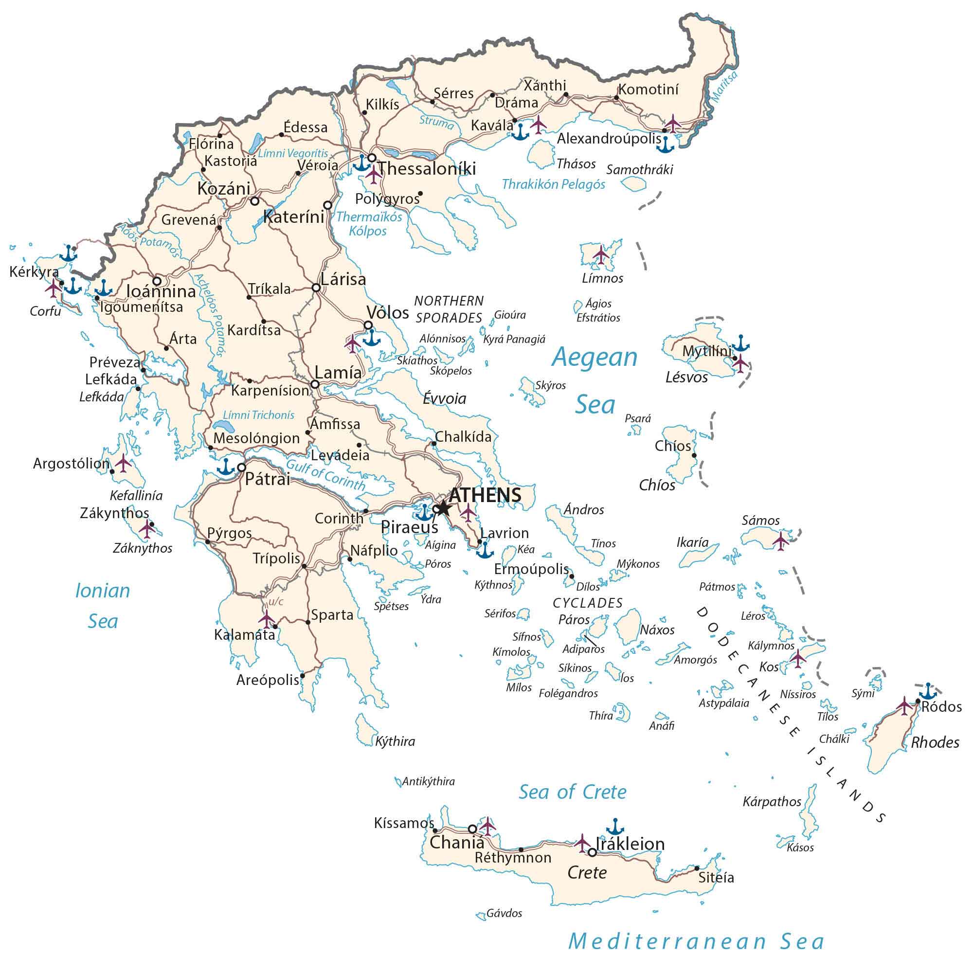
This map of Greece contains major cities, towns, islands, lakes, rivers, and regions. It includes satellite imagery and a physical map to view its national parks and Mount Olympus.
Greece map collection

You are free to use our Greece map for educational and commercial uses. Attribution is required. How to attribute?
About the map
Greece is located in southern Europe along the Aegean Sea, Ionian Sea, and Mediterranean Sea. It is categorized as an archipelago because it consists of about 6,000 islands. But only 227 islands are inhabited by human settlements or visited by tourists.
Athens is the capital and largest city of Greece. It borders several European countries including Albania, North Macedonia, and Bulgaria to the north as well as Turkey to the northeast.
The country is nicknamed “the cradle of modern Western civilization” because of its influences today. For example, Greece shaped the future in the alphabet, libraries, democracy, law, and of course the Olympics.
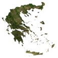
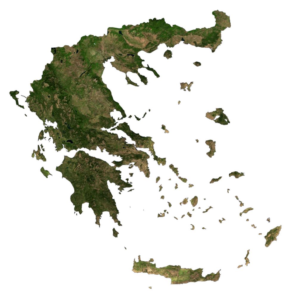
SATELLITE IMAGERY
Greece Satellite Map
Greece has the longest coastline in Europe (11th longest in the world) at 13,676 km (8,498 mi) in length. It’s the southernmost country in Europe with Gavdos Island as its extreme southern point. In total, Greece occupies an area of 131,957 square kilometers (50,949 sq mi).
It sits at the crossroads of Europe, Asia, and Africa. Forests cover 30% of Greece but agriculture doesn’t account for a significant portion in comparison to other countries in Europe. While Lake Trichonida is Greece’s largest natural lake, the Haliacmon is the longest river in Greece.
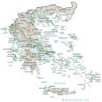
PHYSICAL MAP
Greece Physical Map
Mountains and hills cover 80% of Greece making it one of the most mountainous countries in Europe. It also consists of the mainland peninsula extending to the south part of the Balkans to the Peloponnese peninsula. Its highest peak is Mytikas at Mount Olympus.
At 2,917 meters (9,570 ft) high, it holds great importance in Greek mythology, as it was the home of the Greek Gods. Another one of its major mountain chains is the Pindus Range, located in Northern Greece and southern Albania, stretching roughly 160 kilometers long.

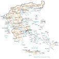
POLITICAL MAP
Greece Regional Map
There are thirteen regions in Greece, which are the first-level administrative unit. While six regions are on the mainland, three are island groups. Each region consists of second-level units, known as prefectures/regional units.
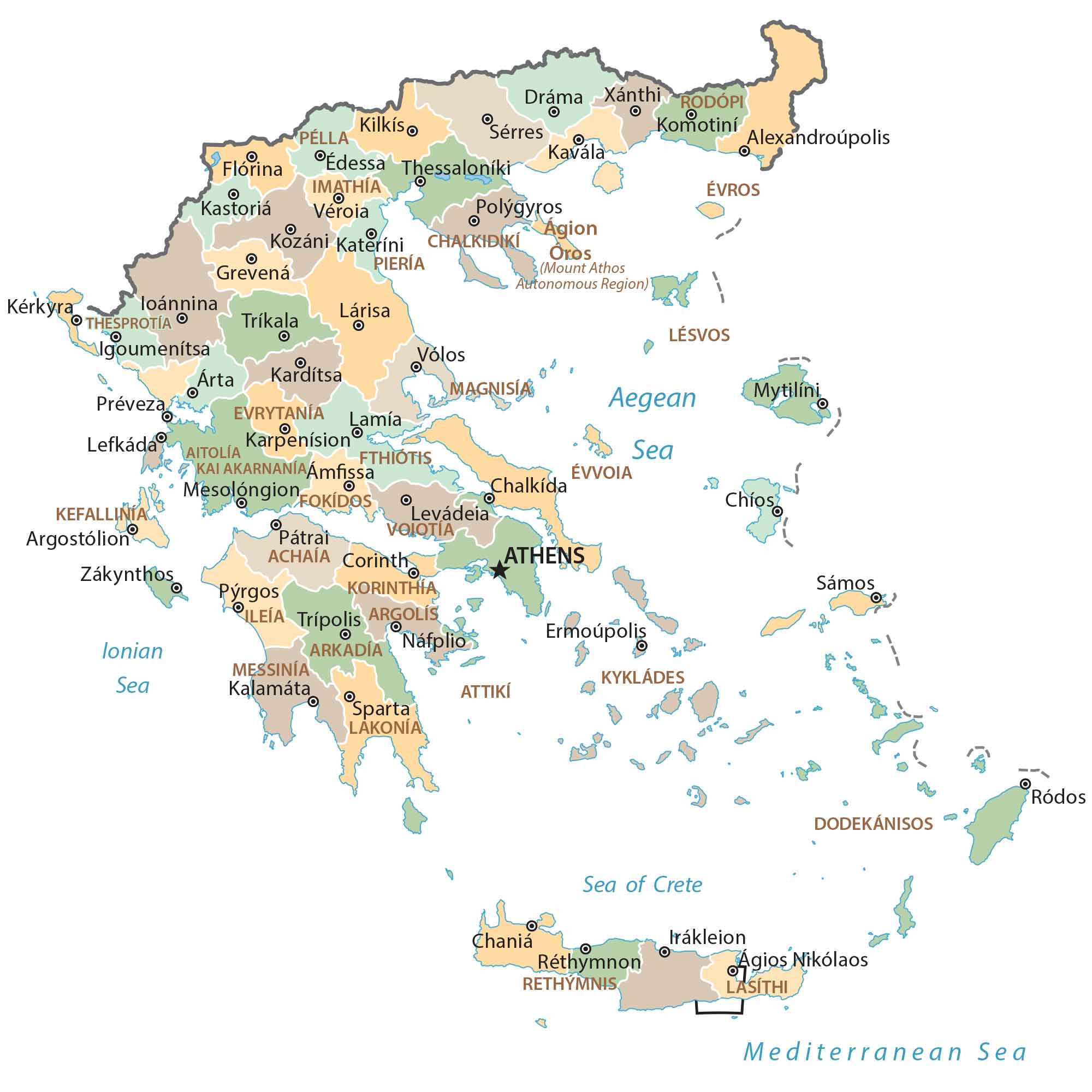
Capital City
Athens
Major cities
Chalkida
Chania
Heraklion
Ioannina
Irákleion
Katerini
Kozáni
Lamía
Lárisa
Pátrai
Piraeus
Thessaloniki
Volos
Cities, towns and villages
Alexandroupolist
Amfissa
Areópolis
Argostolion
Árta
Chíos
Corinth
Dráma
Édessa
Ermoupolis
Flórina
Grevená
Kardítsa
Karpenísion
Kastoriá
Kavála
Kérkyra
Kilkís
Kissamos
Komotini
Lavrion
Lefkáda
Lésvos
Levádeia
Mesolóngion
Mytilini
Náfplio
Polygyros
Préveza
Pyrgos
Réthymnon
Ródos
Sérres
Siteía
Sparta
Tríkala
Trípolis
Véroia
Xánthi
Záknythos
Lakes, rivers and creeks
Achelóos Potamos
Aegean Sea
Aoos Potamos
Gulf of Corinth
Igoumenitsa
Lake Trichonís
Lake Vegorítis
Maritsa
Mediterranean Sea
Sea of Crete
Struma River
Thermaïkós Kólpos
Thrakikón Pelagós
Island groups
Cyclades Islands
Dodecanese Islands
Northern Sporades
Islands
Adiparos
Agios Efstratios
Aigina
Alónnisos
Amorgós
Anáfi
Ándros
Antikythira
Astypálaia
Chálki
Chíos
Corfu
Crete
Dílos
Évvoia
Folegandros
Gávdos
Gioúra
Ikaría
Ios
Kalamáta
Kálymnos
Kárpathos
Kásos
Kéa
Kefallinía
Kimolos
Kos
Kyrá Panagiá
Kythira
Kythnos
Lefkáda
Léros
Límnos
Milos
Mykonos
Níssiros
Páros
Pátmos
Póros
Psará
Rhodes
Sámos
Samothráki
Sérifos
Sifnos
Sikinos
Skiathos
Skopelos
Skýros
Spetses
Sými
Thásos
Thira
Tilos
Tínos
Zákynthos
Sites and attractions
Acropolis
Acropolis of Lindos
Dodoni
Meteora
Moni Osiou Grigoriou
Olympia
Pella
Pilos
Portara (Temple of Apollo)
Temple of Poseidon
Temple of Zeus
Vergina
National parks
Ainos National Park
Alonissos Marine Park
Oiti National Park
Parnitha National Park
Pindus National Park
Landforms and regions
Mount Athos
Mt. Kyllini
Mount Olympus
Pindus Mountains
Thraki Region


Please include in your maps our island Kastellorizo (the smallest of Dodecanese but of great importance), at the south-east of the Greek borders.
https://en.wikipedia.org/wiki/Kastellorizo