Map of Qatar
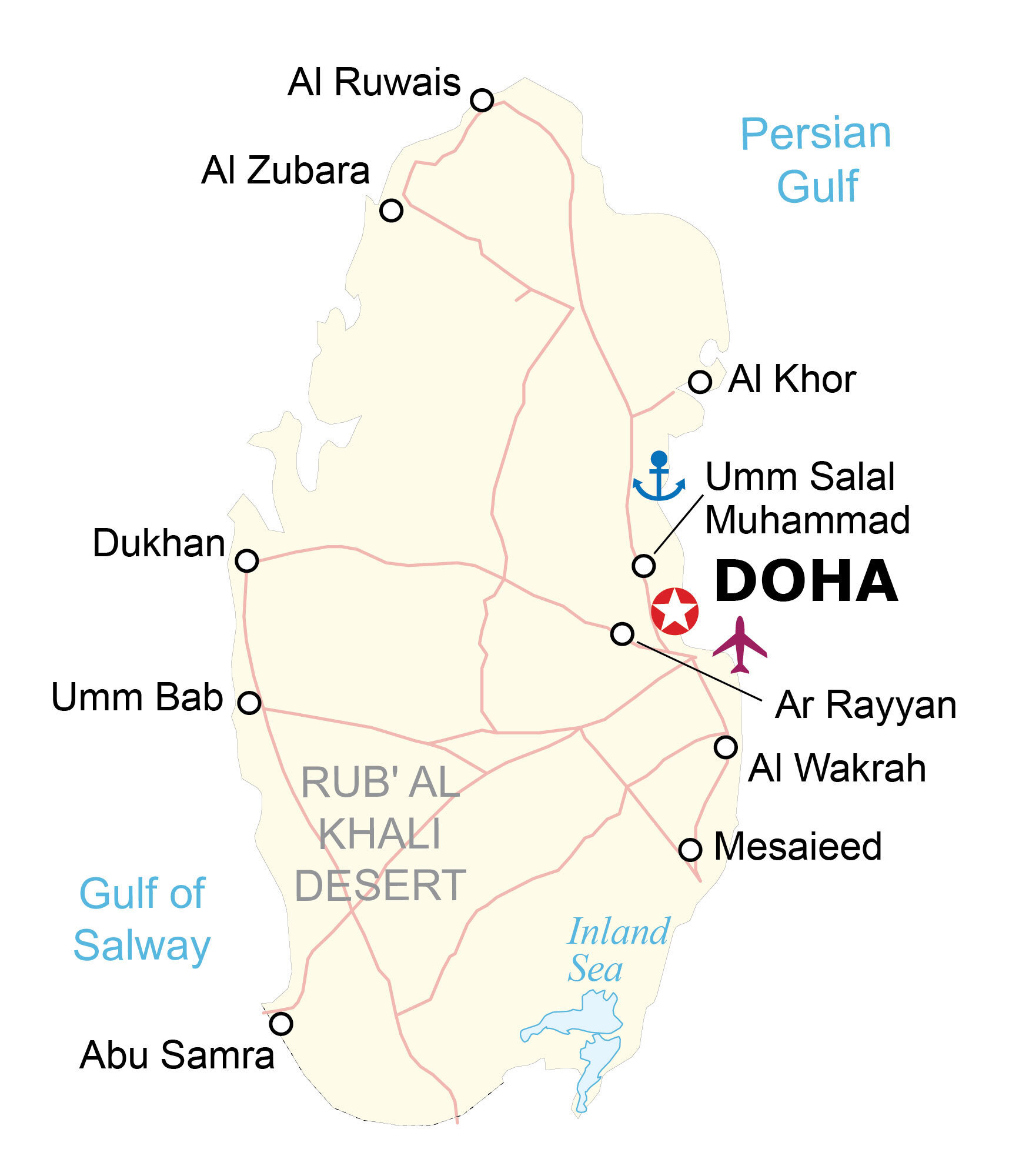
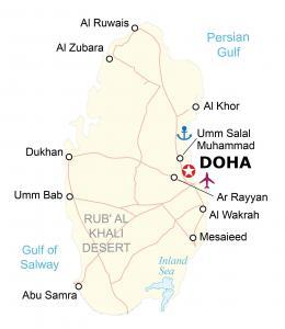
This map of Qatar highlights its major cities, populated places, and highways. Also, it includes a satellite and elevation map to see its vast swaths of deserts across the country.
Qatar map collection
You are free to use our Qatar map for educational and commercial uses. Attribution is required. How to attribute?
About the map
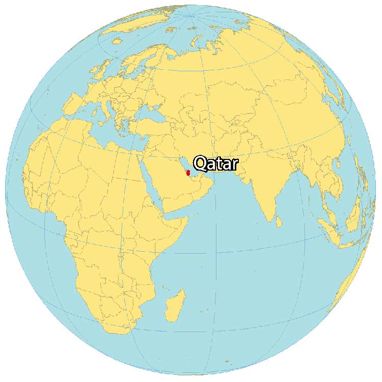
Qatar is a peninsula in the Middle East, along the coast of the Persian Gulf. It borders only 1 country, which is Saudi Arabia to the southwest. But it’s also close to Bahrain to the northwest and the United Arab Emirates to the southeast.
Qatar is on its own peninsula, known as the Qatari Peninsula. But it also contains the islands of Pearl-Qatar, Al Safliya, and Al Aaliya. Doha is the capital and largest city of Qatar to the east along the Persian Gulf.
The physical location of Qatar makes it a central location for major oil and natural gas deposits and exchanges. This is why petroleum resources have become a major economic engine and source of employment in Qatar.
SATELLITE IMAGERY
Qatar Satellite Map
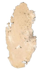
Qatar occupies an area of 11,581 square kilometers (4,471 sq mi). Most of the country consists of low-lying deserts and is covered with sand. Specifically, about 92% of the landscape is desert from the Rub’ Al Khali Desert.
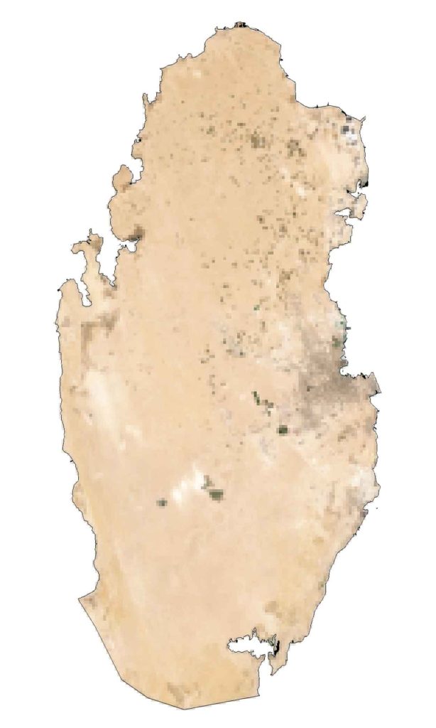
The Inland Sea (Khor Al Adaid) in the southeast is the entrance to the Persian Gulf Sea. Qatar does not have any permanent rivers. Instead, it has numerous ephemeral streams, known as wadis. Other than the Persian Gulf, a notable water feature is the Gulf of Bahrain, which separates Qatar from nearby Bahrain.
PHYSICAL MAP
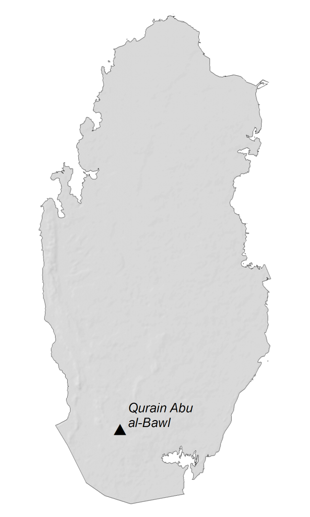
Qatar Elevation Map
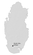
The terrain of Qatar is mostly a flat and barren desert. Dust and sandstorms are common in Qatar because of their strong winds and dry, loose sediments. Qatar does not have any mountain chains. Instead, it has several hills such as Qurayn Abu al Bawl. At 103 meters (338 ft) in height, this is the highest point in Qatar.
Capital City
Doha
Cities and towns
Abu Samra
Al Khor
Al Ruwais
Al Wakrah
Al Zubara
Ar Rayyan
Dukhan
Mesaieed
Umm Bab
Umm Salal Muhammad
Water features
Gulf of Salway
Inland Sea
Persian Gulf
Geographic landforms
Rub’ Al Khali Desert

