United Arab Emirates Map
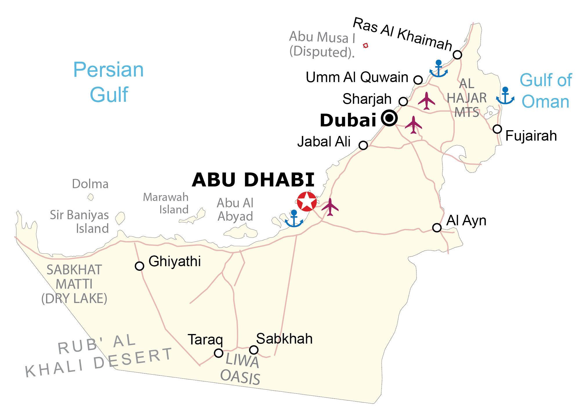
This map of the United Arab Emirates displays its major cities, highways, and islands. Also, a satellite and elevation map reveals everything from its rolling dunes to the rugged Al-Hajar Mountains to the east.


You are free to use our United Arab Emirates map for educational and commercial uses. Attribution is required. How to attribute?
About the map
The United Arab Emirates (UAE) is located in the Middle East, along the coastline of the Gulf of Oman and the Persian Gulf. It borders just 2 countries, which include Saudi Arabia to the southwest and Oman to the east. Basically, the UAE contains 7 independent city-states.
Abu Dhabi is the capital city. But Dubai is the most populous. The other 5 city-states consist of Sharjah, Umm al-Qaiwain, Fujairah, Ajman, and Ras al-Khaimah. Overall, the UAE is known for being a major industrial point for crude oil transit.
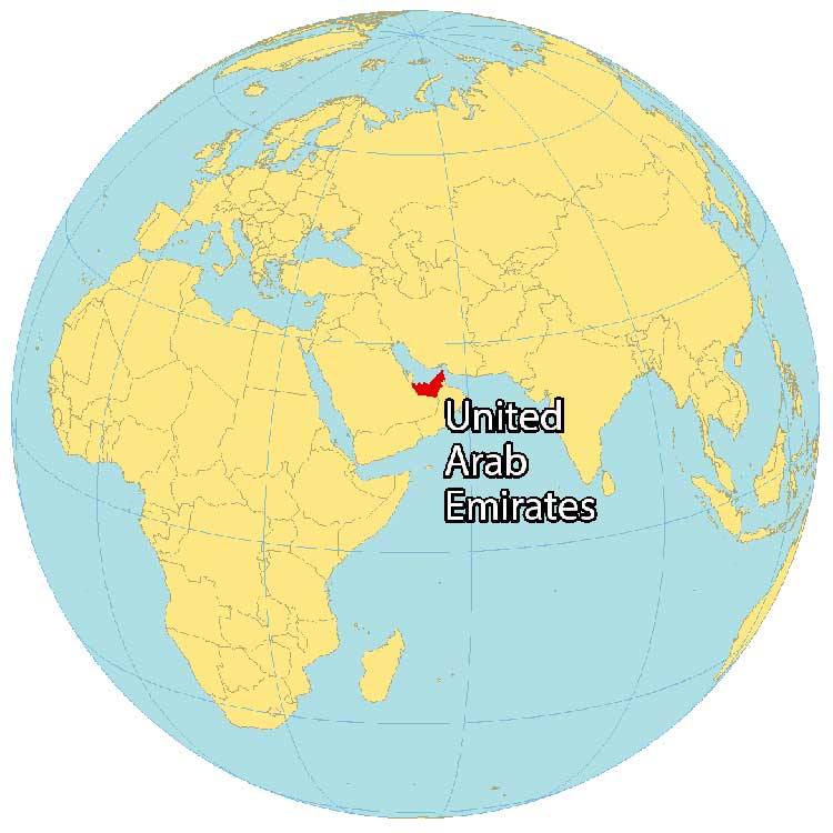
SATELLITE IMAGERY
United Arab Emirates Satellite Map
The United Arab Emirates occupies an area of 83,600 square kilometers (32,300 sq mi). Deserts cover over 80% of the United Arab Emirates. Specifically, the Arabian Desert spans the western region.
But its highest population concentration is along the Persian Gulf with cities like Dubai, Abu Dhabi, and Sharjah. In the southwestern region, the Liwa Oasis is a fertile area in the middle of the reaches of the Rub al Khali Desert.
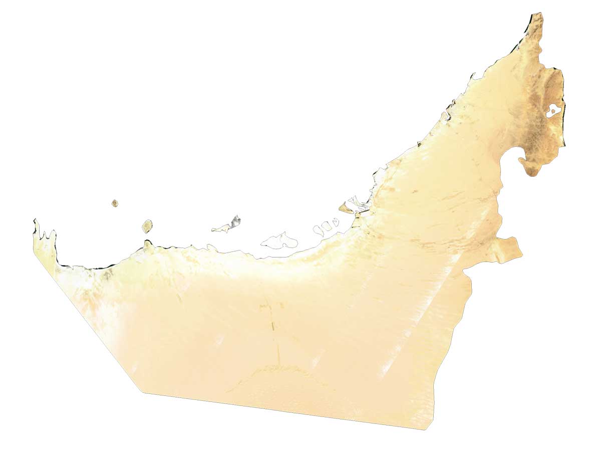
PHYSICAL MAP
United Arab Emirates Elevation Map
The terrain in the United Arab Emirates is primarily rolling sand dunes, a defining feature of the Arabian Desert. While the coastal plains are located in the south and central regions, the east is characterized by the rugged Al-Hajar Mountains.
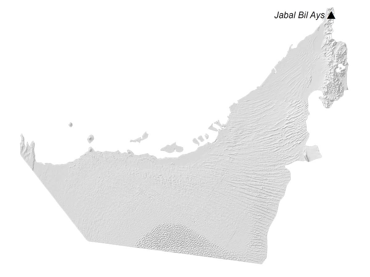
Within the Al-Hajar Mountains, it holds the specular Jabal Yibir mountain peak. Rising proudly to an elevation of 1,934 meters (6,345 feet) above sea level, Jabal Yibir stands as the highest peak in the entire UAE.
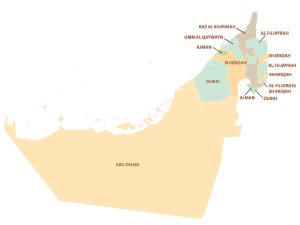
POLITICAL MAP
United Arab Emirates Administration Map
The United Arab Emirates is a collection of seven independent city-states. These include Abu Dhabi, Dubai, Sharjah, Umm al-Qaiwain, Fujairah, Ajman, and Ra’s al-Khaimah. No boundaries hinder the travel between each of the emirates.
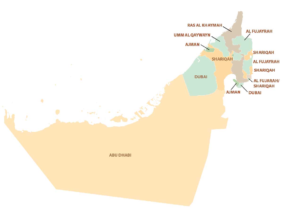
Instead, they form non-contiguous administration divisions in the United Arab Emirates. Abu Dhabi is the largest of the emirates accounting for approximately 87 percent of the total land area, mostly in the central and southwest regions of the federation.
Capital City
Abu Dhabi
Major cities
Dubai
Populated places
Al Ayn
Fujairah
Ghiyathi
Jabal Ali
Ras Al Khaimah
Sabkhah
Sharjah
Tarag
Umm Al Quwain
Islands
Abu Al Abyad
Dolma Island
Marawah Island
Sir Baniyas Island
Landforms
Marawah Island
Sir Baniyas Island
Gulfs and water
Gulf of Oman
Persian Gulf
Sabkhat Matti (Dry Lake)
Disputed territory
Abu Musa Island