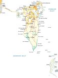
Map of Bahrain – Cities and Roads

This Bahrain map displays populated places, regions, and major roads like the King Fahd Causeway. It includes the neighboring countries of Qatar and Saudi Arabia and a satellite map of Bahrain
Bahrain map collection
You are free to use our Bahrain map for educational and commercial uses. Attribution is required. How to attribute?
About the map
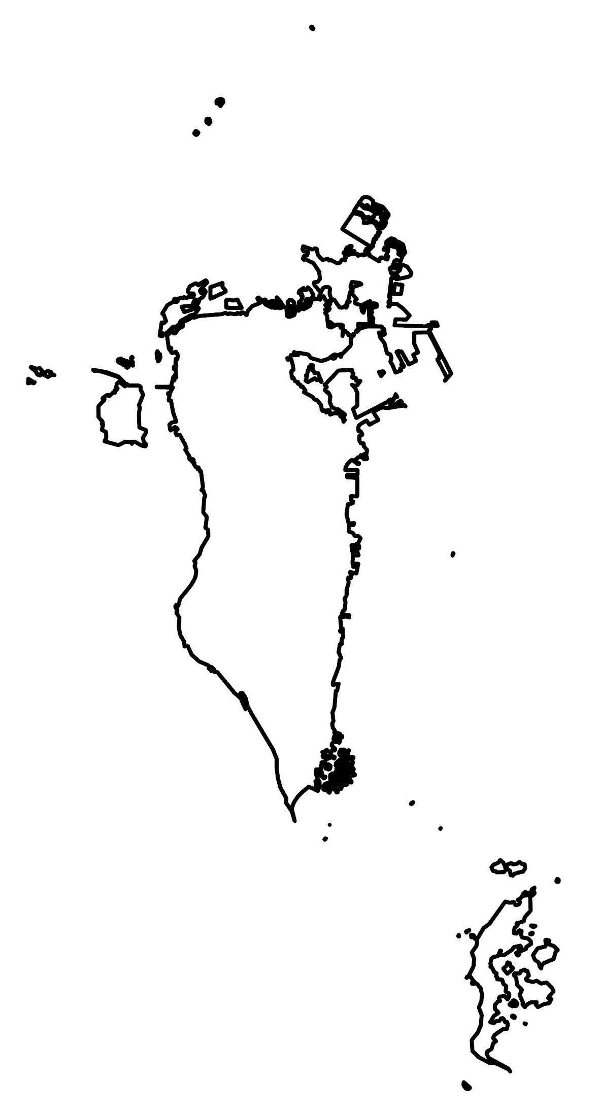
Bahrain is an island located in the Persian Gulf next to Qatar in the east and Saudi Arabia to the west. The landmass is relatively small in size at 760 square kilometers (290 square miles). This makes it about 3.5 times the size of Washington, DC.
The Bahrain archipelago consists of 70 natural islands and 33 artificial islands. Bahrain Island is the primary landmass making up around 83 percent of the country’s area. Although it’s not connected to its neighboring countries by land, the King Fahd Causeway connects Bahrain to Saudi Arabia.
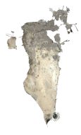
SATELLITE IMAGERY
Bahrain Satellite Map
The terrain in Bahrain is mostly flat with an escarpment in the central region. At 134 m (440 ft), the Mountain of Smoke (Jabal ad Dukhan) is its highest peak. The climate in Bahrain is arid with a low desert plain.
Originally, Bahrain occupied a total area of 665 square kilometers (257 sq mi). But reclaimed lands have increased Bahrain’s area by an additional 100 square kilometers. The small Arab state lies along the Persian Gulf and deserts cover approximately 92% of Bahrain.

Capital City
Manama
Cities and populated places
Riffa
Muharraq
Isa Town
A’Ali
Sitrah
Budaiya
Jidhafs
Al Malikiyah
Gulfs
Persian Gulf
Bahrain Gulf
Other features
King Fahd Causeway
Qassar al Qulayʽah