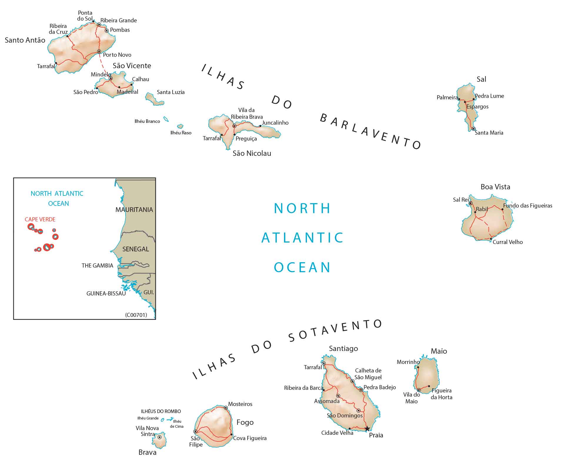
Map of Cape Verde
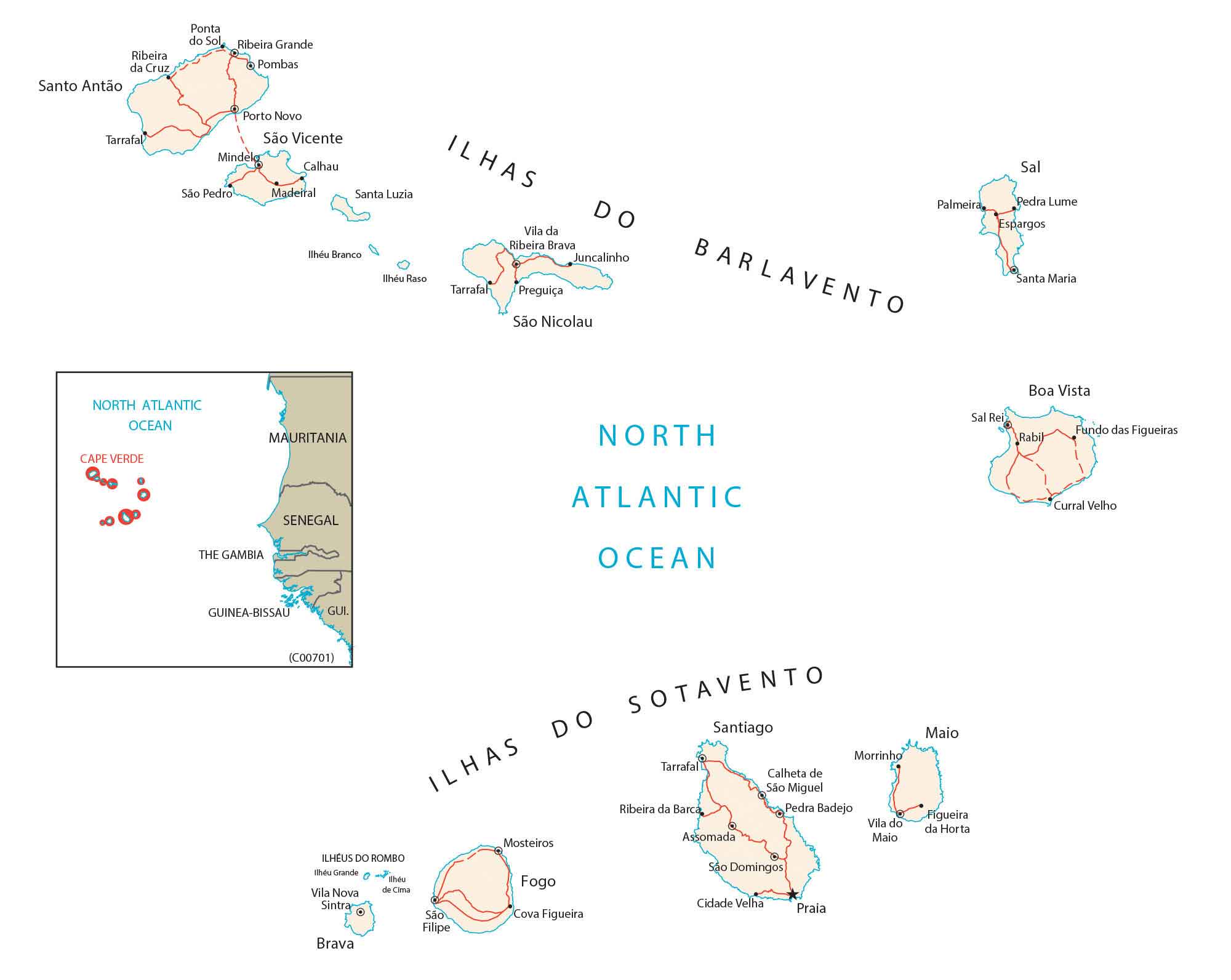
This Cape Verde map contains major cities, towns, and roads that make up the islands of Cape Verde. It includes satellite imagery and an elevation map to see its topography.
Cape Verde map collection
You are free to use our Cape Verde map for educational and commercial uses. Attribution is required. How to attribute?
About the map
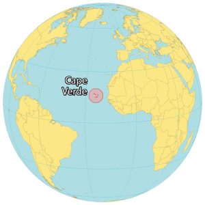
Cape Verde is a group of 10 islands shaped like a horseshoe in the North Atlantic Ocean. The country is off the west coast of Senegal, Africa about 600 kilometers away.
Cape Verde is also known as Cabo Verde because the Portuguese first discovered the uninhabited islands in the 15th century.
Currently, Cape Verde has one of the highest literacy rates and GDP in all of Africa. Also, it’s known for being an important communications site, and station for air and sea refueling.
SATELLITE IMAGERY
Cape Verde Satellite Map
Cape Verde consists of 10 islands, which are volcanic in origin. In total, the islands occupy an area of 4,033 square kilometers (1,557 sq mi). They lie above the equator between 14° and 18°N latitudes.
There are two separate groups of islands. First, the Barlavento Islands (Windward Islands) include the islands of Santo Antão, São Vicente, Santa Luzia, São Nicolau, Sal, and Boa Vista. Secondly, the Sotavento Islands (Leeward) include the islands of Maio, Santiago, Fogo, and Brava. According to the FAO, forests cover about 21% of Cape Verde.
PHYSICAL MAP
Cape Verde Physical Map
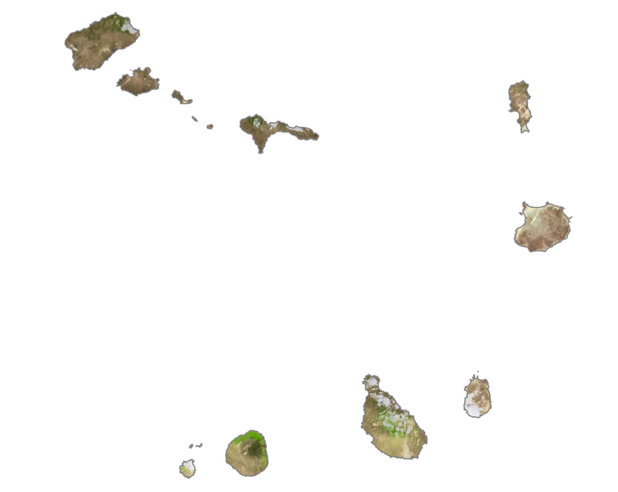
The terrain in Cape Verde is a mix of dry plains and highly active volcanoes. In general, the eastern islands are flatter. Whereas the western islands are more mountainous with cliffs that rise steeply from the ocean.
At 2,829 meters (9,281 ft), its highest point is Mount Fogo, which is an active stratovolcano on the island of Fogo. Overall, the volcanic landscapes and unique flora of the region make it popular for adventurers.
Capital City
Praia
Islands and archipelagos
Santo Antão
São Vicente
Santa Luzia
São Nicolau
Santiago
Sal
Maio
Fogo
Brava
Boa Vista
Ilhas do Sotavento
Ilhéu de Cima
Ilhéus do Rombo
Ilhéu Grande
Ilhas do Barlavento
Ilhéu Branco
Ilhéu Raso
Major cities and towns
Mindelo
Assomada
Porto Novo
Santa Maria
Sal Rei
Populated places
Ribeira da Cruz
Ponta do Sol
Ribeira Grande
Pombas
Tarrafal
Calhau
São Pedro
Madeiral
Vila da Ribeira Brava
Juncalinho
Palmeira
Pedra Lume
Espargos
Calheta de São Miguel
Pedra Badejo
Vila do Maio
Figueira da Horta
Mosteiros
Ribeira da Barca
São Domingos
Cidade Velha
São Filipe
Cova Figueira
Vila Nova
Rabih
Fundo das Figueiras
Curral Velho
Sintra
Water features
North Atlantic Ocean


