Ghana Map – Cities and Roads
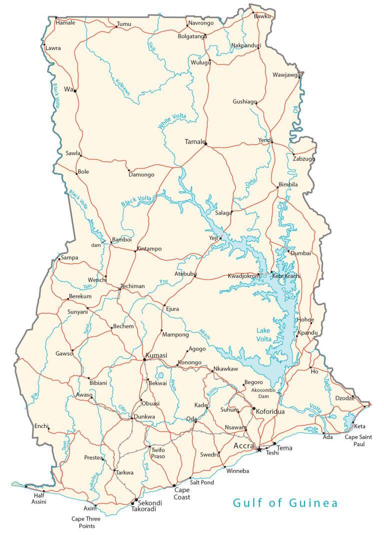
This Ghana map features major cities, towns, lakes, rivers, railroads, and highways in Ghana. It includes satellite imagery and an elevation map to view the topography of Ghana.
Ghana map collection

You are free to use our Ghana map for educational and commercial uses. Attribution is required. How to attribute?
About the map
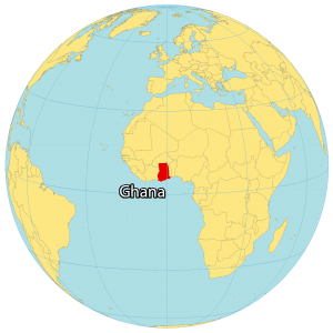
Ghana is located in Western Africa, along the Gulf of Guinea. It borders 3 African countries including Ivory Coast to the west, Burkina Faso to the north, and Togo to the east.
Ghana is considered one of the more stable African countries. Also, it is the largest producer of gold in Africa, even larger than South Africa.
Accra is the capital and largest city with over 85% of people living in the Greater Accra Region. Other major cities are Kumasi, Tamale, and Sekondi-Takoradi.
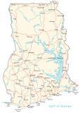
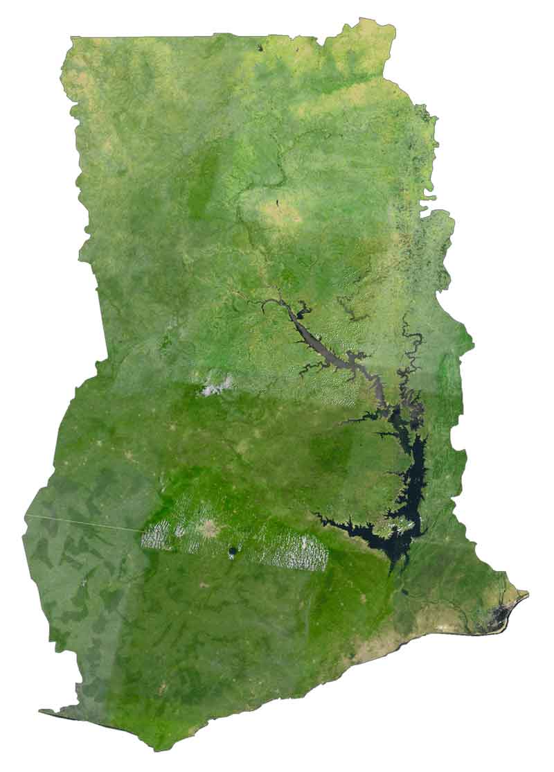
SATELLITE IMAGERY
Ghana Satellite Map
Ghana occupies an area of 238,535 square kilometers (92,099 sq mi). It spans a diverse range of landscapes from coastal savannas to tropical rainforests and sandy beaches. Ghana is also home to the world’s largest artificial reservoir.
Lake Volta spans an area of 8,482 square kilometers and is central to Ghana’s second-largest protected area – Digya National Park. Both the Volta River and Black Volta are the longest rivers in Ghana.
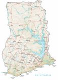
PHYSICAL MAP
Ghana Physical Map
The country of Ghana is mostly low plains with several mountains in the southeastern area. Its most prominent mountain range is Agumatsa. It contains Ghana’s highest points, Mount Aduadu, and the nearby Mount Afadja (Afadjato). At 885 meters (2,904 ft), Mount Afadjato is the tallest mountain in Ghana. This mountain peak lies near Lake Volta along its border with Togo.
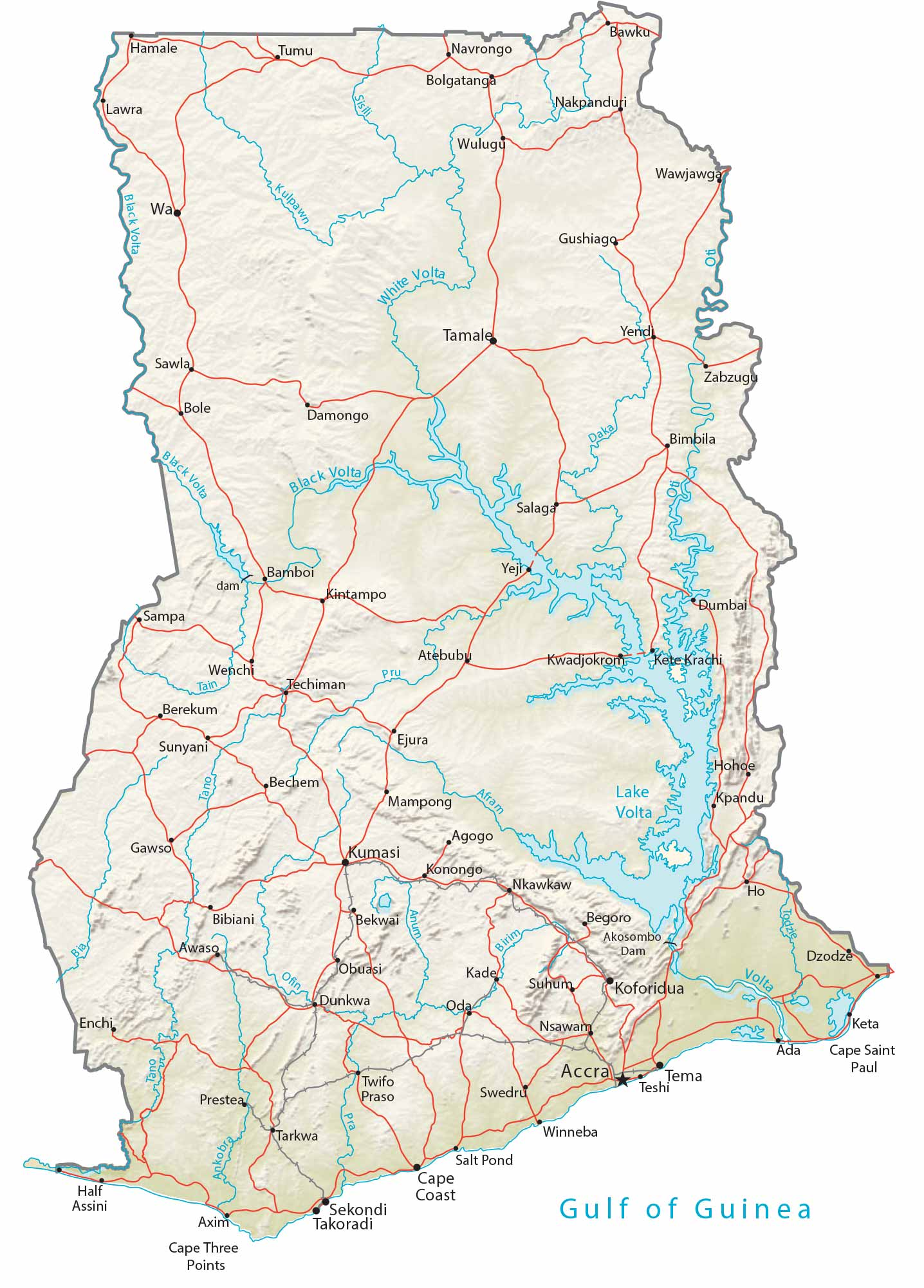
Capital City
Accra
Major cities and towns
Cape Coast
Koforidua
Kumasi
Sekondi
Tamale
Takoradze
Tema
Cities, towns and villages
Ada
Agogo
Atebubu
Axim
Bawku
Begoro
Bechem
Bekwai
Berekum
Bibiani
Bimbila
Bolgatanga
Bole
Damongo
Dumbai
Dunkwa
Dzodze
Ejura
Enchi
Gawso
Gushiago
Half Assini
Hamale
Ho
Hohoe
Jobuasi
Kade
Keta
Kete Krachi
Kintampo
Konongo
Kpandu
Kwadjokrom
Lawra
Mampong
Nakpanduri
Navrongo
Nsawam
Nkawkaw
Oda
Prestea
Salaga
Sampa
Sawla
Sunyani
Suhum
Swedru
Tarkwa
Techiman
Teshi
Tumu
Twifo Praso
Wenchi
Winneba
Wulugu
Yejr
Yendi
Zabzugu
Lakes, rivers and creeks
Afram River
Ankobra River
Anum River
Bia River
Birim River
Black Volta River
Daka River
Gulf of Guinea
Kulpawn River
Lake Volta
Oti River
Pra River
Sisili River
Tain River
Tano River
Todzie River
White Volta River
Capes
Cape Saint Paul
Cape Three Points


