Liberia Map – Cities and Roads
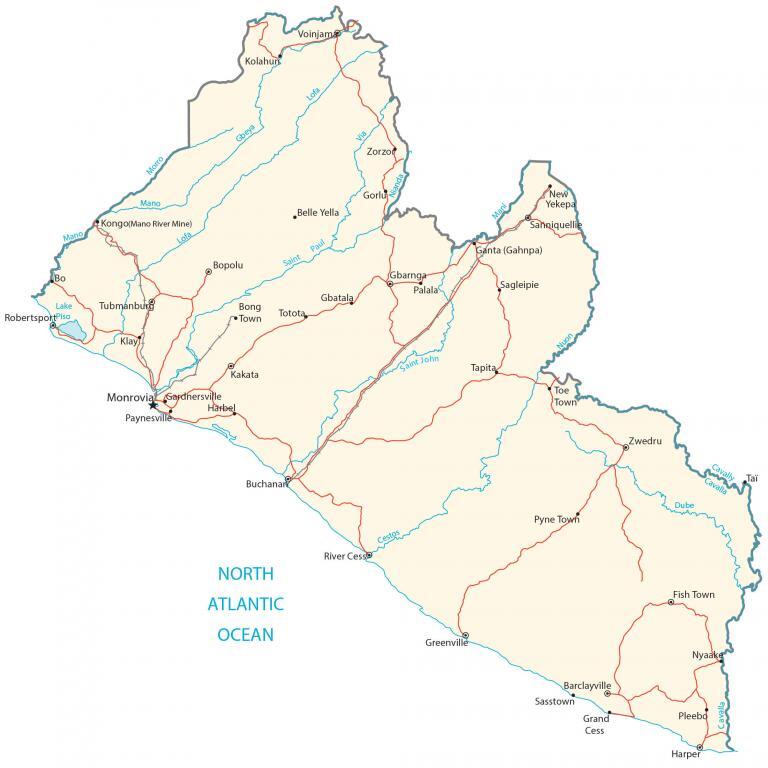
This map of Liberia features its major cities, towns, roads, lakes, and rivers. Satellite imagery and an elevation map display its topography from its coastal plains to the Guinea Highlands.
Liberia map collection


You are free to use our Liberia map for educational and commercial uses. Attribution is required. How to attribute?
About the map
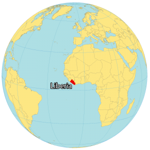
Liberia is located in Western Africa, along the coast of the Atlantic Ocean. It borders 3 other African countries including Sierra Leone to the northwest, Guinea to the north, and Ivory Coast to the east.
Its coastline is 580 kilometers (360 mi) in length with the Atlantic Ocean. The country is known for its long-standing civil war, being Africa’s oldest republic, and its clean cities.
Monrovia is the capital and largest city in Liberia. Other major cities are Gbarnga, Kakata, and Bensonville. Liberia’s landscape is mostly flat plains with some rolling hills in the northeast and southeast.
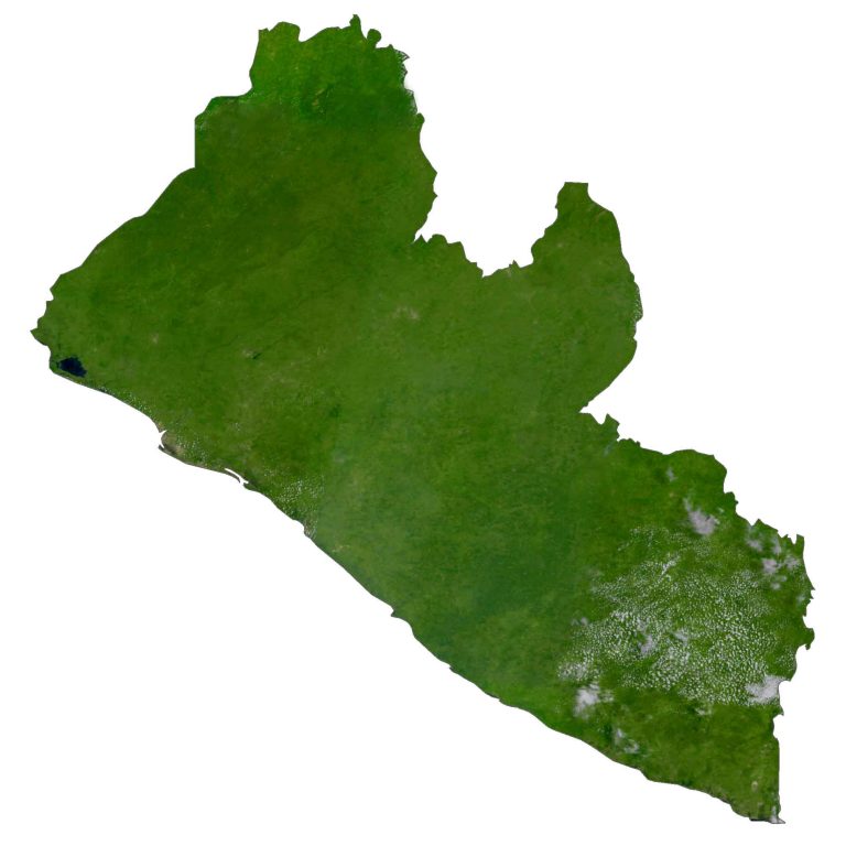
SATELLITE IMAGERY
Liberia Satellite Map
Altogether, Liberia occupies a total area of 111,369 square kilometers (43,000 sq mi). This makes its landmass smaller than Benin, but larger than Jordan. While its longest river is the Cavalla River at 515 kilometers (320 mi), Liberia’s largest lake is Lake Piso at 103 square kilometers (40 sq mi).
The country lies above the equator between 4°N and 8°N latitude. Its position in Western Africa gives it a tropical climate and is mostly humid all year round. While forests cover 44.9% of Liberia, its other major land use is agriculture at 28.1%.
PHYSICAL MAP
Liberia Physical Map
The terrain of Liberia is mostly hilly with a mix of flat coastal plains, plateaus, escarpments, and low-lying mountains to the northeast. Otherwise, the western region is low and sandy. In contrast, the interior is rocky with rising plateaus and escarpments.
Two of its main geographic features are the low Cestos Valley in the central area and the Wologizi Range. As part of the Guinea Highlands, Mount Wuteve is Liberia’s highest peak at 1,440 meters (4,720 ft) above sea level. In comparison, Liberia’s lowest point is the Atlantic Ocean at 0 meters (0 ft) sea level.
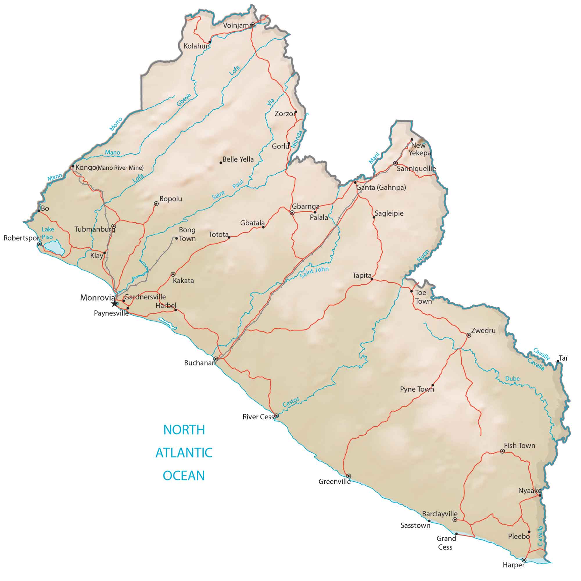
Capital City
Monrovia
Major cities and towns
Buchanan
Ganta (Gahnpa)
Gbarnga
Greenville
Harper
Kakata
Sanniquellie
Voinjama
Zwedru
Cities, towns and villages
Barclayville
Belle Yella
Bo
Bong Town
Bopolu
Fish Town
Gardnersville
Gbatala
Gorlu
Harbel
Klay
Kolahun
Mani
Morro
New Yekepa
Nyaake
Palala
Paynesville
Pleebo
Pyne Town
River Cess
Robertsport
Saint John
Sasstown
Sagleipie
Tapita
Toe Town
Totota
Zorzon
Lakes, rivers and creeks
Cavalla River
Cestos River
Dube River
Gbeya River
Lake Piso
Lofa River
Mani River
Mano River
Morro River
Nianda River
North Atlantic Ocean
Nuon River
Saint John River
Saint Paul River
Tubmanbur


Geography is my subject