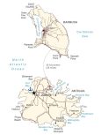
Antigua and Barbuda Map

This map of Antigua and Barbuda displays the towns, roads, beaches, and bays of the two islands in the Caribbean Sea. It includes a satellite and elevation map to visualize its topography like the Barbuda Highlands or Boggy Peak.
Antigua and Barbuda map collection
You are free to use our Antigua and Barbuda map for educational and commercial uses. Attribution is required. How to attribute?
About the map
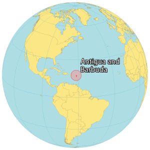
Antigua and Barbuda is a country located in the Caribbean Sea. As the name implies, it consists of two main islands. Antigua is the main island, situated in the south. It’s more developed and holds the capital and largest city of Saint John’s.
Whereas Barbuda is located in the north and is known for coral reefs and beaches. Antigua and Barbuda is close to Guadeloupe to the south, Montserrat to the southwest, and Saint Kitts and Nevis to the west.
In 1981, Antigua and Barbuda gained their independence from the British. But their official language is still English because of the British influence. While the vast majority of people live in Antigua, only 2,000 people live in Barbuda.
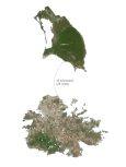
SATELLITE IMAGERY
Antigua and Barbuda Satellite Map
Other than the two main islands, Antigua and Barbuda, Guiana Island as well as Long Island are the next largest islands off the coast of Antigua. Also, it contains Redonda Island, which is approximately 20 kilometers to the west of Antigua.
The country occupies a total area of 440 square kilometers (170 sq mi), which is similar in size to Barbados. Beaches, lagoons, reefs, shoals, and natural harbors are characteristic of the shorelines of the two islands. Despite its rainy seasons, there are no large rivers that flow through the country. According to the FAO, forests cover about 22.7% of the country.

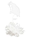
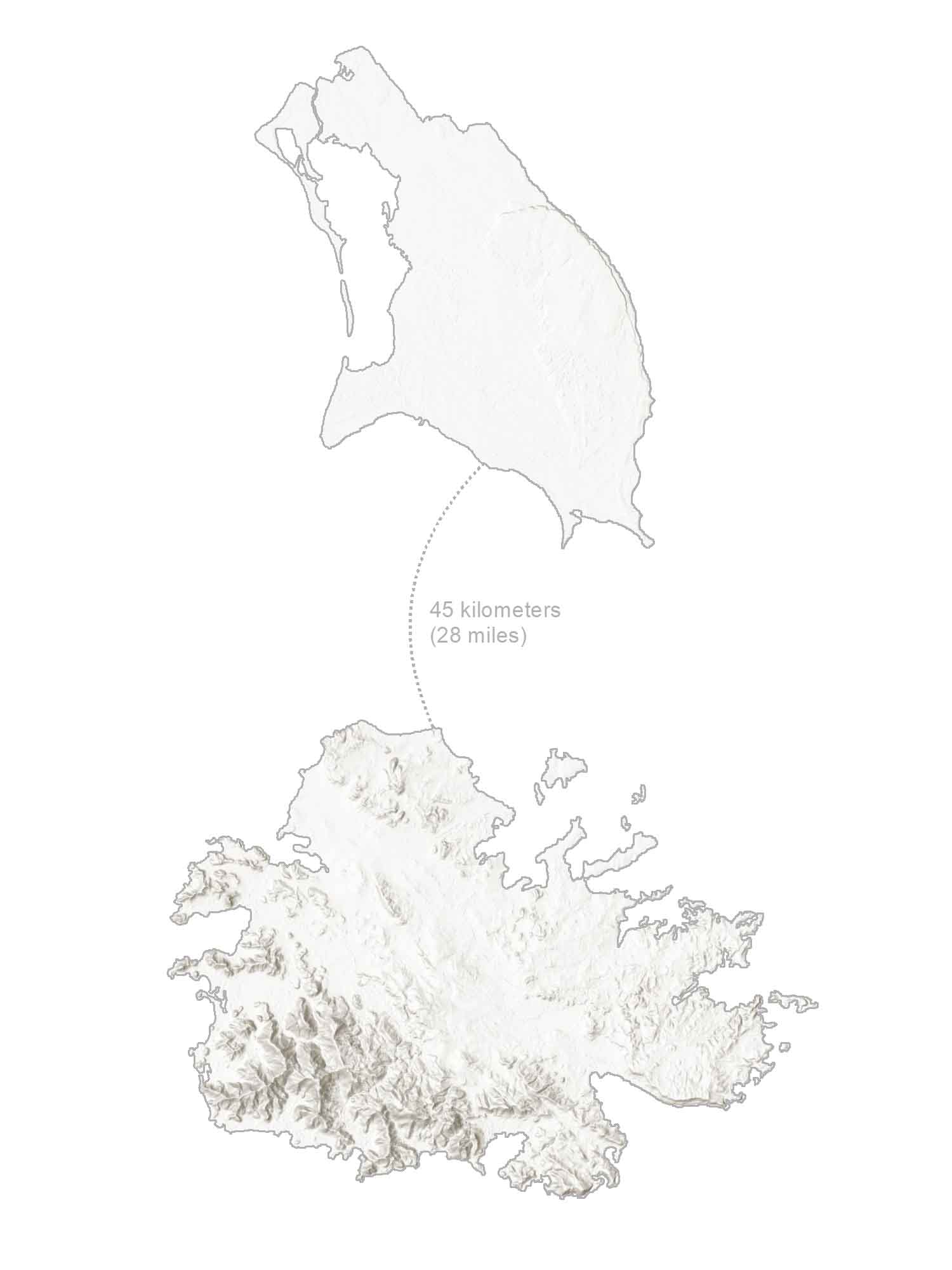
PHYSICAL MAP
Antigua and Barbuda Elevation Map
Antigua and Barbuda are part of both the Lesser Antilles and West Indies geographic regions. In general, both islands have low-lying terrain. On the island of Barbuda in the northeast, the Highlands are rounded hills of about 300 meters in height.
Whereas the Shekerley Mountains are another low-lying mountain range on the island of Antigua. This is where you can find Boggy Peak (Mount Obama), which is the highest point in the country. At 402 meters (1,319 feet), it’s part of a remnant volcanic crater located in southwestern Antigua.
Capital City
St. John’s
Towns and Villages
Codrington
Piggotts
Codrington
Bolans
All Saints
Freetown
English Harbour
Jolly Harbour
Bays and Sounds
Dickenson Bay
North Sound
Willoughby Bay
Fort Bay
Codrington Bay
Nonsuch Bay
Halfmoon Bay
Rendez-Vous Bay
Islands and Points
Goat Island
Barbuda Island
Antigua Island
Coco Point
Cedar Tree Point
Palmetto Point
Spanish Point
Other Places
North Atlantic Ocean
Ffryes Beach
Nelson’s Dockyard
Caribbean Sea
Highlands Range
Caribbean


