Cuba Map – Roads and Cities
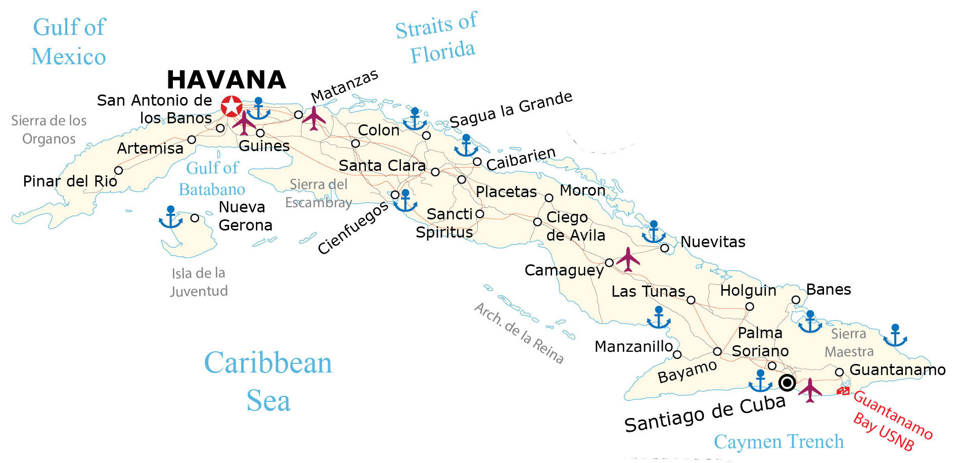
This Cuba map (Republic of Cuba) shows major cities, towns, and highways. For visual reference, elevation and satellite imagery help get familiar with the island country of Cuba.
Cuba map collection
You are free to use our Cuba map for educational and commercial uses. Attribution is required. How to attribute?
About the map
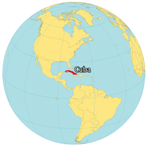
Cuba is a country in Central America at the intersection of the Caribbean Sea and the Atlantic Ocean. It consists of the island of Cuba, Isla de la Juventud, and various smaller archipelagos. Cuba is situated near the Bahamas, Haiti, and the Cayman Islands.
The size of Cuba is 109,884 square kilometers (42,426 sq mi) which is almost identical in size to Guatemala. Also, this makes it the largest island in all of the Caribbean and the eighth-largest island country in the world. Havana is the capital and largest city in Cuba and is known for being a commercial hub and port city.
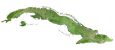
SATELLITE IMAGERY
Cuba Satellite Map
Tropical rainforests, reefs, and wetlands are all defining characteristics of Cuba. The local climate is tropical because of its location south of the Tropic of Cancer. Some of its archipelagos include Sabana and Camaguey in the north.

Whereas Archipelago de la Reina is situated in the south. Its two major rivers are the Cauto and Toa. Not only is the Cauto River the longest river in Cuba, but it’s also the longest navigable river in the Caribbean.
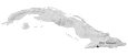
PHYSICAL MAP
Cuba Elevation Map
Cuba’s terrain is mostly flat in the northwest. Then, it transitions to mountains in the southeast. There are three major mountain chains in Cuba. First, Sierra de los Organos is in northwest Cuba and is part of the Guaniguanico Cordillera.

Second, the Escambray Mountains are in the central region of Cuba. Finally, the Sierra Maestra is located in Southeast Cuba and contains the highest mountains in Cuba. Specifically, Pico Turquino is the highest peak in the Sierra Maestra at 1,974 meters (6,476 ft) in height.
Capital City
Havana
Major cities and towns
Artemisa
Cienfuegos
Guantanamo
Matanzas
Sancti Spiritus
Santiago de Cuba
Populated places
Bayamo
Camaguey
Caibarien
Colon
Guines
Holguin
Las Tunas
Manzanillo
Moron
Nueva Gerona
Nuevitas
Palma Soriano
Pinar del Rio
Placetas
Sagua la Grande
San Antonio de los Banos
Santa Clara
Water features
Gulf of Batabano
Straits of Florida
Caribbean Sea
Cayman Trench
Other features
Guantanamo Bay USNB
Escambray Mountains
Sierra de los Organos
Isla de la Juventud
Archipelago de la Reina
Caribbean


