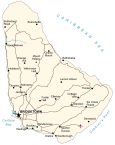
Map of Barbados

This Barbados map shows its major cities, towns, and highways with an elevation and satellite map. From its hilly interior to its coastal beaches, this map of Barbados displays the most eastern Caribbean island in the Lesser Antilles chain.
Barbados map collection

You are free to use our Barbados map for educational and commercial uses. Attribution is required. How to attribute?
About the map
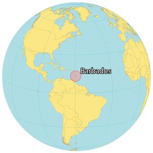
Barbados is a single island located in the Caribbean Sea. It’s located near St. Vincent and the Grenadines as well as Saint Lucia. It occupies an area of 439 square kilometers (169 sq mi).
The coastline is estimated to be 97 kilometers around the island (32 x 23 km). This means you can drive around the perimeter of the island in less than an hour.
Luckily, it doesn’t have any volcanoes due to its location from tectonic plates. Also, it avoids storms and violent winds because it’s further away from the hurricane belt. The capital city is Bridgetown situated in the southwest corner of Barbados.
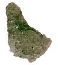
SATELLITE IMAGERY
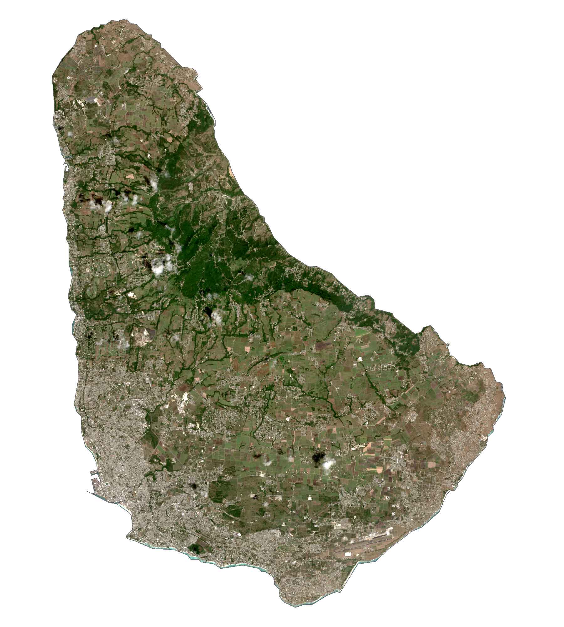
Barbados Satellite Map
Beautiful beaches, coral reefs along the coast, and caves blanket Barbados. According to the FAO, forests cover 15-20% of the land area. Although Barbados has a lush hilly central region, it is not considered a rainforest. Its climate has two seasons.
First, the wet season has a prolonged period that runs from June to December. Whereas the dry season is typically from December to May. Fishing and agriculture are major drivers of the economy in Barbados. It’s estimated that around three-quarters of arable land in Barbados is dedicated to sugarcane crops.
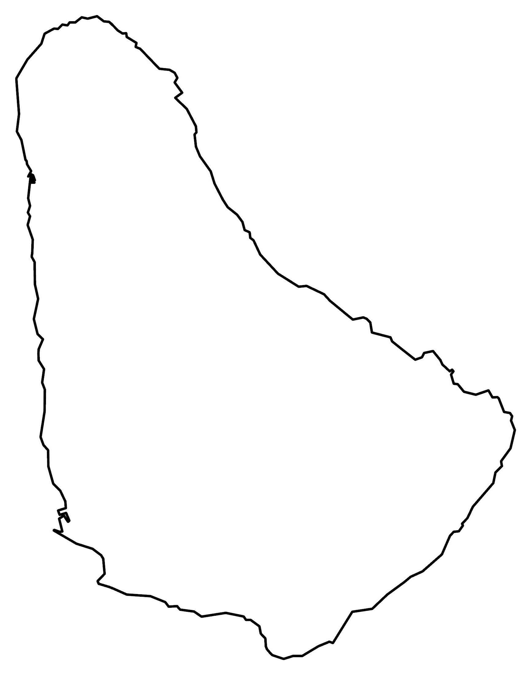
PHYSICAL MAP
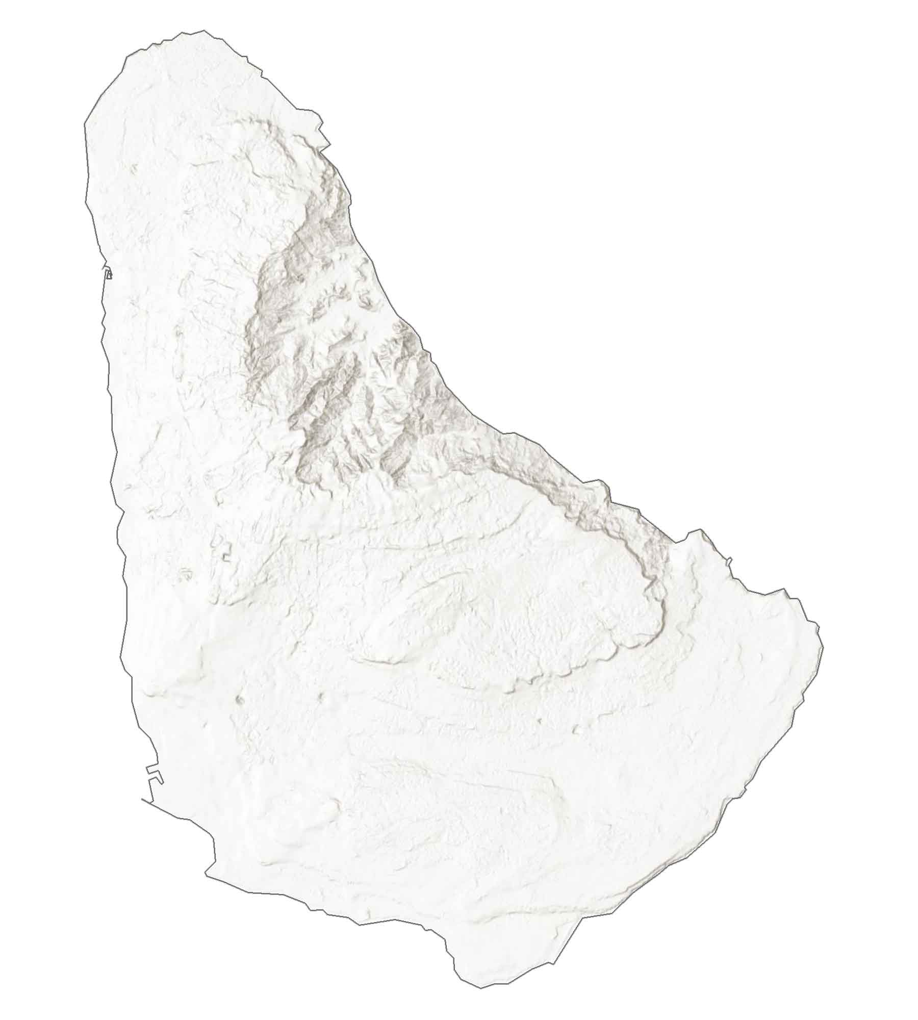
Barbados Elevation Map
Barbados is part of the West Indies, but it’s further east compared to other countries that make up this geographic region. It also lies within the Lesser Antilles, which is a partial volcanic island arc in the Caribbean Sea.
When you compare Barbados to other islands nearby, it’s relatively flat. It has a gradual rise in elevation to the central interior region. Then, it transitions to the central highland Scotland Region. This is the location of Mount Hillaby, the highest point in the nation rising to 340 m (1,120 ft) above sea level.
Capital City
Bridgetown
Cities and towns
Boscobelle
Speightstown
Chalky Mount
Orange Hill
Bathsheba
Holetown
Welchman Hall
Thorpes
Redmans
Jackson
Sutherland Road
Lemon Arbour
Foster Hall
Ellerton
Cottage Vale
Rendezvous
Rockley
Hastings
Newton Terrace
Oistins
Scarborough
Thicket
Brereton
Six Cross Roads
Gemswick
Water
Cobbler’s Reef
Caribbean Sea
Carlisle Bay
Mountains
Mount Hillaby
Caribbean


