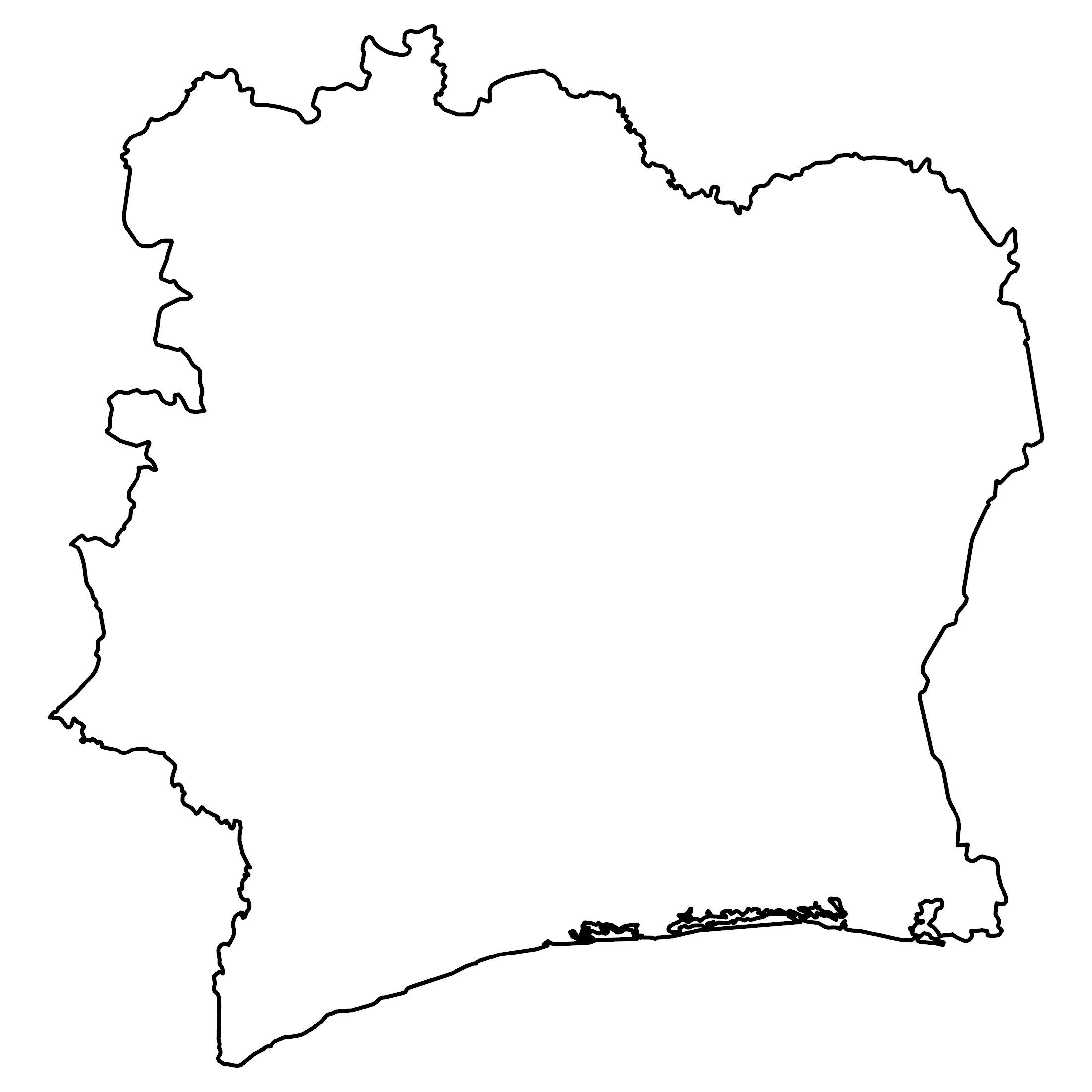
Ivory Coast Map – Cities and Roads
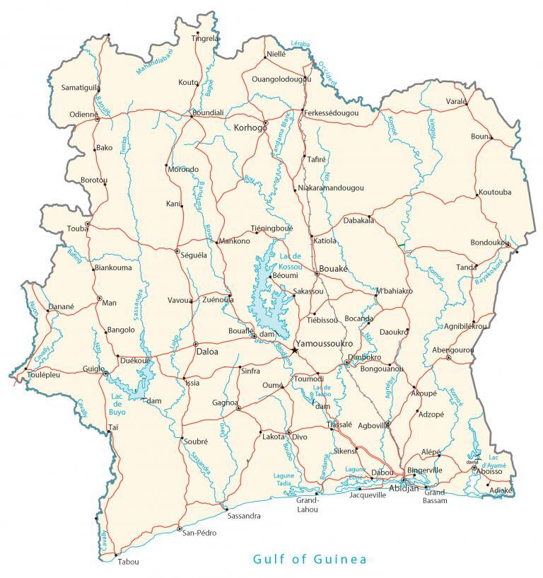
This map of the Ivory Coast (Côte d’Ivoire) features cities, towns, highways, rivers, and lakes. It includes both a physical map and satellite imagery, which includes Mount Nimba.
Ivory Coast map collection
You are free to use our Ivory Coast map for educational and commercial uses. Attribution is required. How to attribute?
About the map
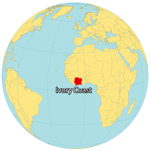
Ivory Coast is located in western Africa, along the Gulf of Guinea. It borders 5 other African countries. This includes Liberia and Guinea to the west, Mali and Burkina Faso to the north, as well as Ghana to the east.
Although Ivory Coast is unstable because of its years of civil war, Ivory Coast earns a relatively higher level of income. Its official language is French. But there are over 75 different spoken languages in the country. Yamoussoukro is the capital city but Abidjan is the largest city.
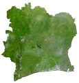
IMAGERY
Ivory Coast Satellite Map
Ivory Coast is situated just above the equator between 4° and 11°N latitudes. Because the terrain is mostly flat, agriculture is the foundation of their economy. Cropland and pastures cover about 65% of the Ivory Coast.
Although deforestation is an environmental issue, forests are the next main land use. According to the FAO, forests cover 33% of the Ivory Coast. The climate is mostly tropical savanna climate with a mix of wet and dry conditions. While Lake Kossou is its largest lake, the Bandama River is the longest and commercially most important.

PHYSICAL
Ivory Coast Physical Map
The terrain on the Ivory Coast is mostly flat, with several mountain peaks in the northwest. Specifically, the Guinea Highlands is a densely forested mountainous plateau to the west. This mountain chain contains Mount Nimba (Mount Richard-Molard) along the Ivory Coast and Guinea border. At 1,752 m (5,748 ft) high, this is the highest peak in the Ivory Coast.
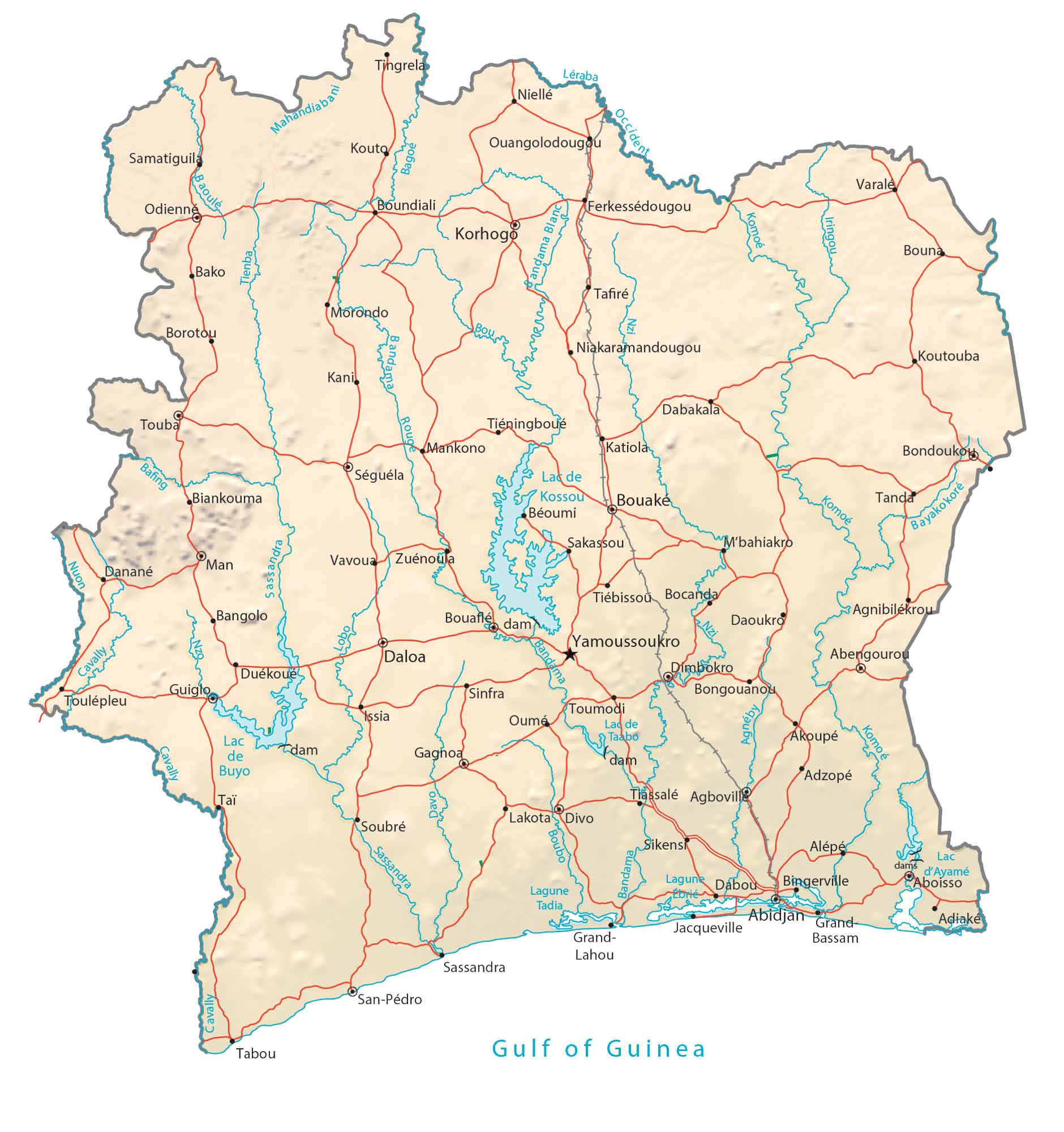
Capital City
Yamoussoukro
Major cities
Abengourou
Abidjan
Agboville
Bouaké
Daloa
Divo
Gagnoa
Korhogo
Man
San-Pédro
Cities, towns and villages
Abidjan Grand
Adiaké
Adzopé
Akoupé
Alépé
Agnibilékrou
Bako
Bangolo
Biankouma
Bocanda
Bondo
Boundiali
Bouafle
Bouna
Béoumi
Daoukro
Danané
Dabakala
Dimbokro
Duékoué
Ferkessédougou
Grand-Jacqueville
Guiglo
Issia
Jacqueville
Kani
Katiola
Kouto
Kouamé
Koutouba
Lahou
Lakota
Mahandiabani
M’bahiakro
Mankono
Morondo
Niakaramandougou
Niellé
Ouangolodougou
Samatiguila
Sassandra
Sikensi
Soubré
Séguéla
Sikensi
Sakassou
Sikensi
Tafiré
Tanda
Tassalé
Taï
Tingrela
Touba
Toumodi
Toulépleu
Tiéningboué
Tiébissou
Tadia
Varale
Vavoua
Zuénoua
Lakes, rivers and creeks
Bafing River
Bandama River
Boubo River
Buyo Lake
Cavally River
Davo River
Iringou River
Kossou Lake
Komoé River
Nzo River
Lagune Dabou
Lagune Tadia
Léraba River
Sassandra River
Taabo Lake
Tienba River
Gulf of Guinea


Very very insightful. Thank you