Seychelles Map with Islands
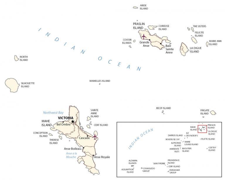
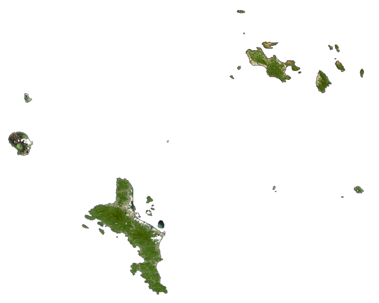
This map of Seychelles shows major settlements, roads, and islands with satellite imagery. It features its three main islands of Mahe, Praslin, and La Digue in the Indian Ocean.
Seychelles map collection
You are free to use our Seychelles map for educational and commercial uses. Attribution is required. How to attribute?
About the map
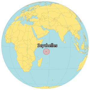
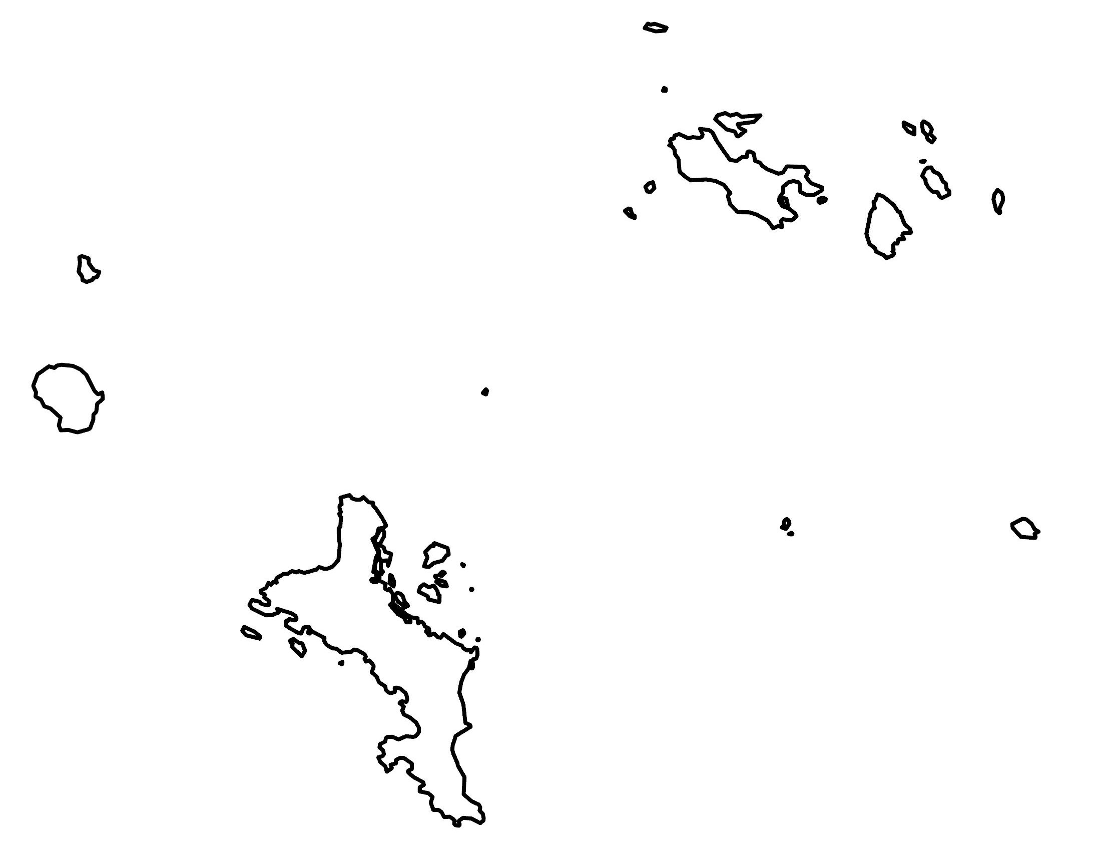
Seychelles is an archipelago of about 115 islands in the Indian Ocean northeast of Madagascar. Although most islands are small and uninhabited, it has three main islands – Mahe, Praslin, and La Digue.
First, Mahe is the largest island in size and accounts for close to 90% of the population. Victoria is the capital and largest city on the island of Mahé.
Secondly, Praslin is the second-largest at 38.5 square kilometers and the second most populous with Baie Ste Anne, Anse Volbert, and Grand’ Anse as its major settlements.
Finally, La Digue has an area of 10 square kilometers and is located to the east of Praslin. Otherwise, the island of Aldabra is the world’s largest raised coral atoll.
SATELLITE IMAGERY
Seychelles Satellite Map
Seychelles occupies an area of 459 square kilometers (177 sq mi), which is the smallest country in Africa (and one of the smallest in the world). It’s known for its deep blue waters, white sandy beaches, dense tropical forests, and coral reefs (which are being affected by climate change).
At 905 meters (2,969 ft), Morne Seychellois is the highest peak in Seychelles on the main island of Mahe. Of its 115 islands, 73 are coral islands and 43 are granitic islands. Additionally, you can divide Seychelles into the Inner Islands and the Outer Islands. Madagascar, Mauritius, and Comoros all lie to the south of Seychelles.
Capital City
Victoria
Islands
Aldabra Islands
Alphonse Island
Amirante Isles
Aride Island
Assumption Island
Bijoutier Isles Island
Boudeuse Cay
Cerf Island
Coetivy Island
Conception Island
Cosmoledo Group
Cousin Islands
Curieuse Island
Darros Island
Farquhar Group
Felicite Island
Frigate Island
Ile Des Noeufs
La Digue Island
Louise Island
Mahe Island
Mamelles Island
Marie Ann Island
North Island
Platte Island
Praslin Island
Providence Island
Recif Island
Sainte Anne Island
Saint-Pierre
Silhouette Island
The Sisters
Therese Island
Populated places
Anse a la Mouche
Anse Boileau
Anse Royale
Baie Sainte Anne
Bel Ombre
Cascade
Grande Anse
Bays and water features
Indian Ocean
Northwest Bay