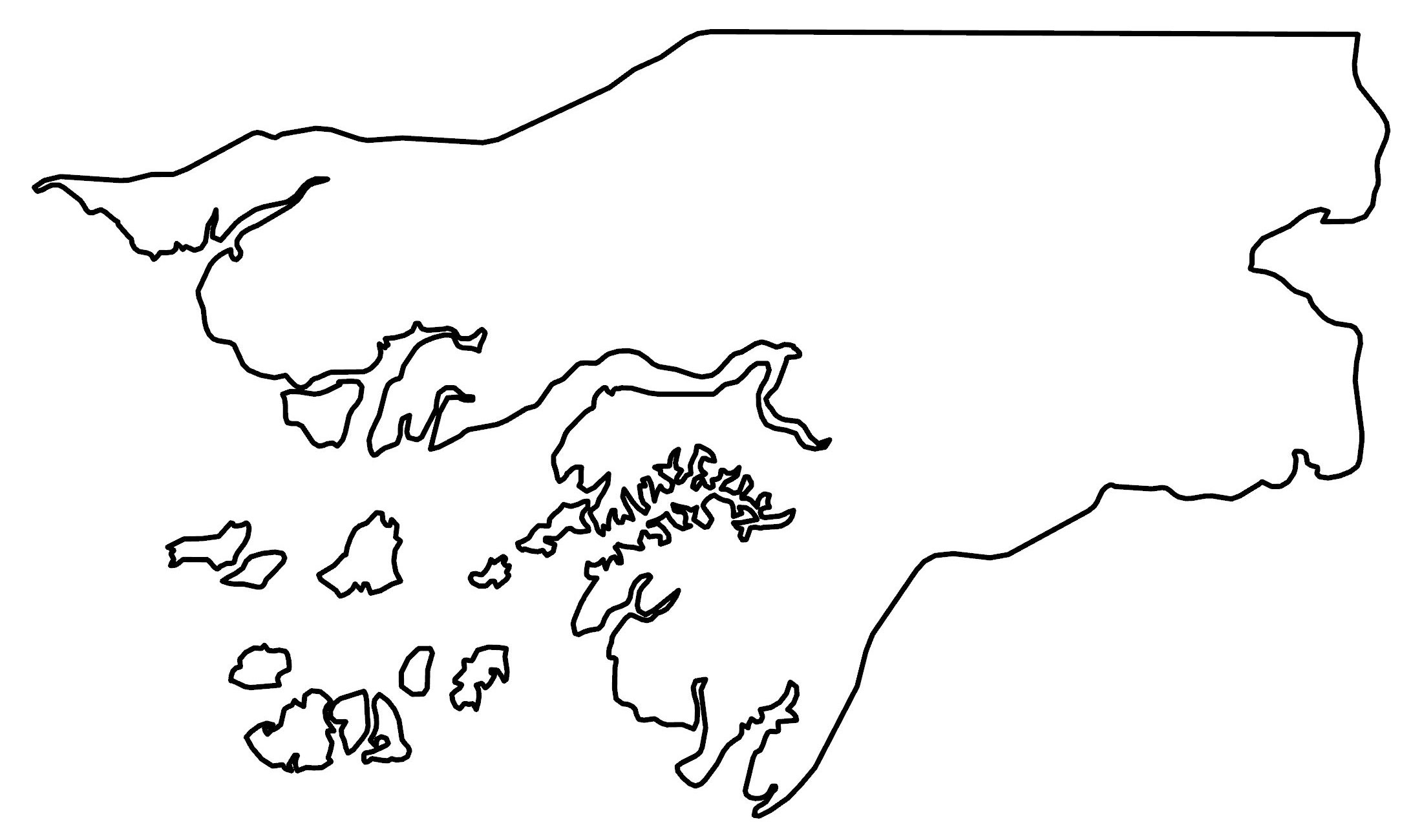
Guinea-Bissau Map – Places and Roads
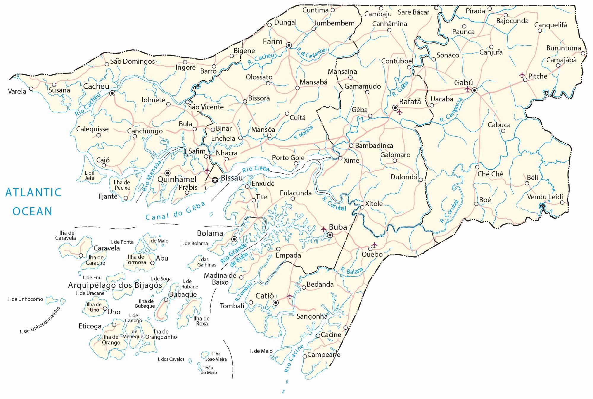
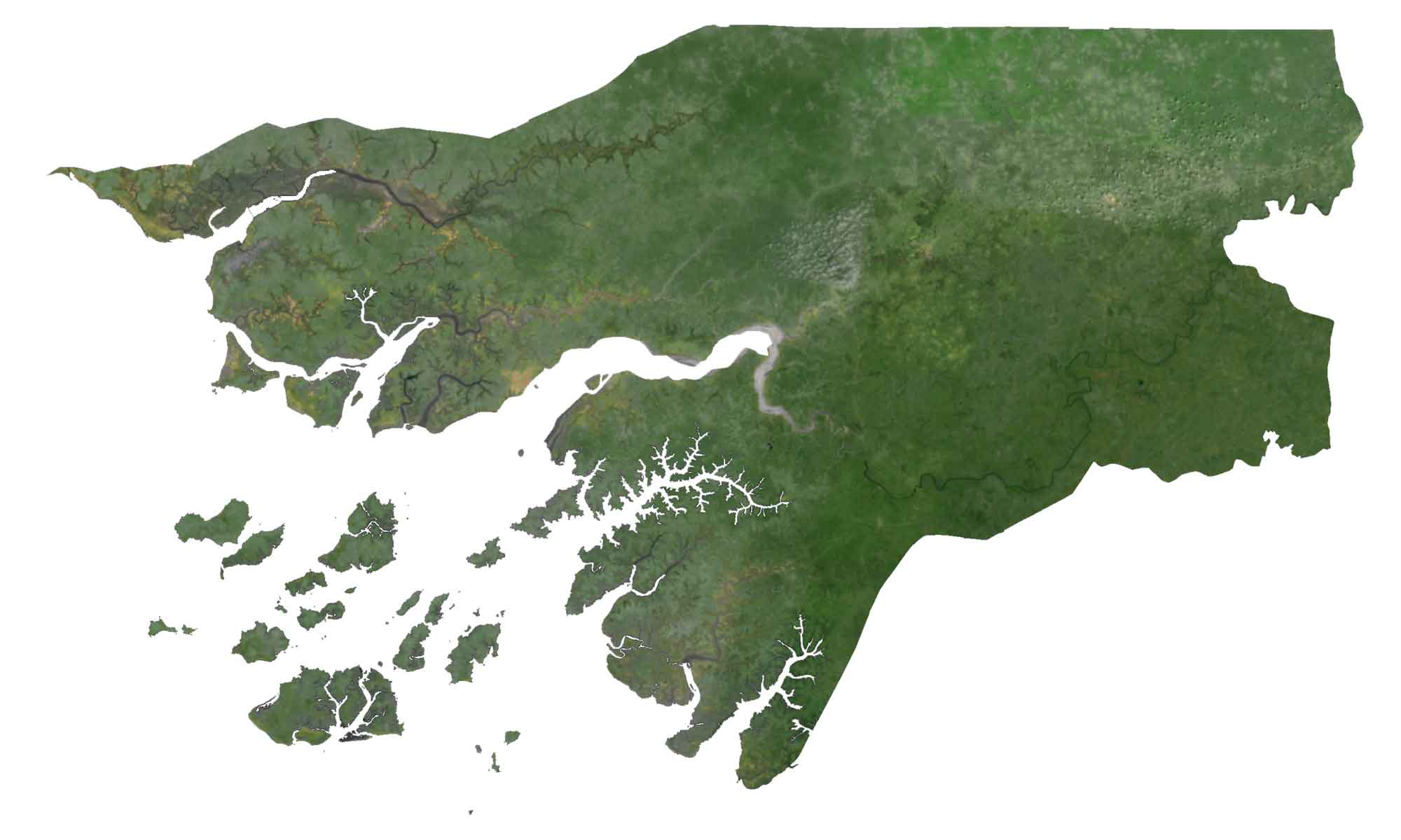
This Guinea-Bissau map shows its islands, populated places, and roads. Satellite imagery gives a mosaic of Guinea Bissau. Whereas a physical map displays its topography.
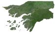
Guinea-Bissau map collection
You are free to use our Guinea-Bissau map for educational and commercial uses. Attribution is required. How to attribute?
About the map
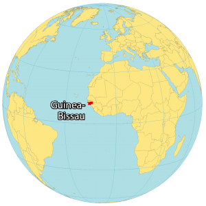
Guinea-Bissau is an African country located on the west coast of the continent. It also includes the Bissagos Islands, an archipelago of about 88 islands in the North Atlantic Ocean. It borders just two countries.
While Senegal is situated to the north, Guinea is to the southeast. The city of Bissau is the capital and largest city in the country. Other major cities are Bafatá, Gabú, and Bissorã.
Guinea-Bissau occupies an area of 36,125 square kilometers, which is larger than Lesotho, but smaller than Togo. This also includes the Bijagos Archipelago which is a group of 88 islands that lie off of the mainland.
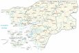
SATELLITE IMAGERY
Guinea-Bissau Satellite Map
The climate is tropical with a range of fauna, flora, and biodiversity. Also, Guinea-Bissau features a mix of landscapes like swamps, forests, and mangroves such as the Guinean mangroves region and forest-savanna mosaic. According to the FAO, forests cover 70% of the country.
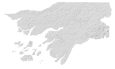
PHYSICAL MAP
Guinea-Bissau Elevation Map
The terrain of Guinea-Bissau is mostly low coastal plains, but it’s also hilly within the interior. The lowest point is at sea level in the Atlantic Ocean. Whereas its highest point is a 300-meter tall unnamed hill in the eastern region. Other than its low-lying terrain, Guinea-Bissau also has a large number of tidal flats, which are covered and uncovered by the rise and fall of tides.

Capital City
Bissau
Major cities and towns
Bafatá
Bolama
Buba
Cacheu
Catió
Gabú
Quinhámel
Cities, towns and villages
Bedanda
Beli
Bigene
Bissorã
Bula
Bubaque
Cacine
Cambaju
Canquelifá
Canjufa
Canchungo
Canhâmina
Calequisse
Camajábà
Campeane
Canjambar
Carache
Che Che
Contuboel
Dulombi
Enxudé
Empada
Farim
Fulacunda
Jolmete
Mansôa
Mansabá
Nhacra
Paunca
Pitche
Pirada
Porto Gole
Quebo
Sare Bácar
São Domingos
São Vicente
Sonaco
Tite
Uacaba
Uno
Varela
Vendu Leidi
Xime
Lakes, rivers and water
Atlantic Ocean
Balana River
Cacheu River
Cacine River
Campossa River
Gêba Canal
Gêba River
Corubal River
Islands
Bissagos Islands
Bolama Island
Bubaque Island
Canogo Island
Cavalos Islands
Enu Island
Formosa Island
Joao Vieira Island
Maio Island
Meio Islands
Pecixe Island
Ponta Island
Roxa Island
Rubane Island
Soga Island
Unhocomo Island
Unhocomozinho Island
Uno Island
Uracane Island


