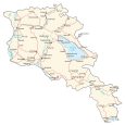
Map of Armenia – Cities and Roads

This map of Armenia shows cities, towns, rivers, and highways. It’s a country in both Europe and Western Asia. Satellite imagery and elevation maps highlight its mountainous terrain like the Lesser Caucasus Mountains (Armenian Highlands).
Armenia map collection

You are free to use our Armenia map for educational and commercial uses. Attribution is required. How to attribute?
About the map
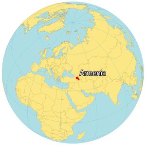
Armenia is a landlocked country located in the Middle East. But it can also be considered geopolitically part of Europe as well. Yerevan is the capital and largest city of Armenia.
It borders 4 other countries. Turkey is located to the east. Whereas Azerbaijan is to the east. While Georgia is to the north, Iran is situated to the south. The Armenia boundary line is one of the most complex in the world today.
The Nakhchivan Autonomous Republic is an exclave of Azerbaijan that borders Armenia to the southwest. Then, Artsvashen and Nagorno–Karabakh are enclaves that Armenia claims within Azerbaijan. On the contrary, Azerbaijan claimed 4 enclaves within Armenia including Yukhari Askipara, Yaradullu, Barxudarli, and Karki.
SATELLITE IMAGERY
Armenia Satellite Map
Armenia occupies an area of 29,743 square kilometers (11,484 sq mi), which is similar in size to Albania. One of the most notable features in Armenia is Lake Sevan. At 5,000 square kilometers (1,900 sq mi) in area, it is the largest water body in the country.
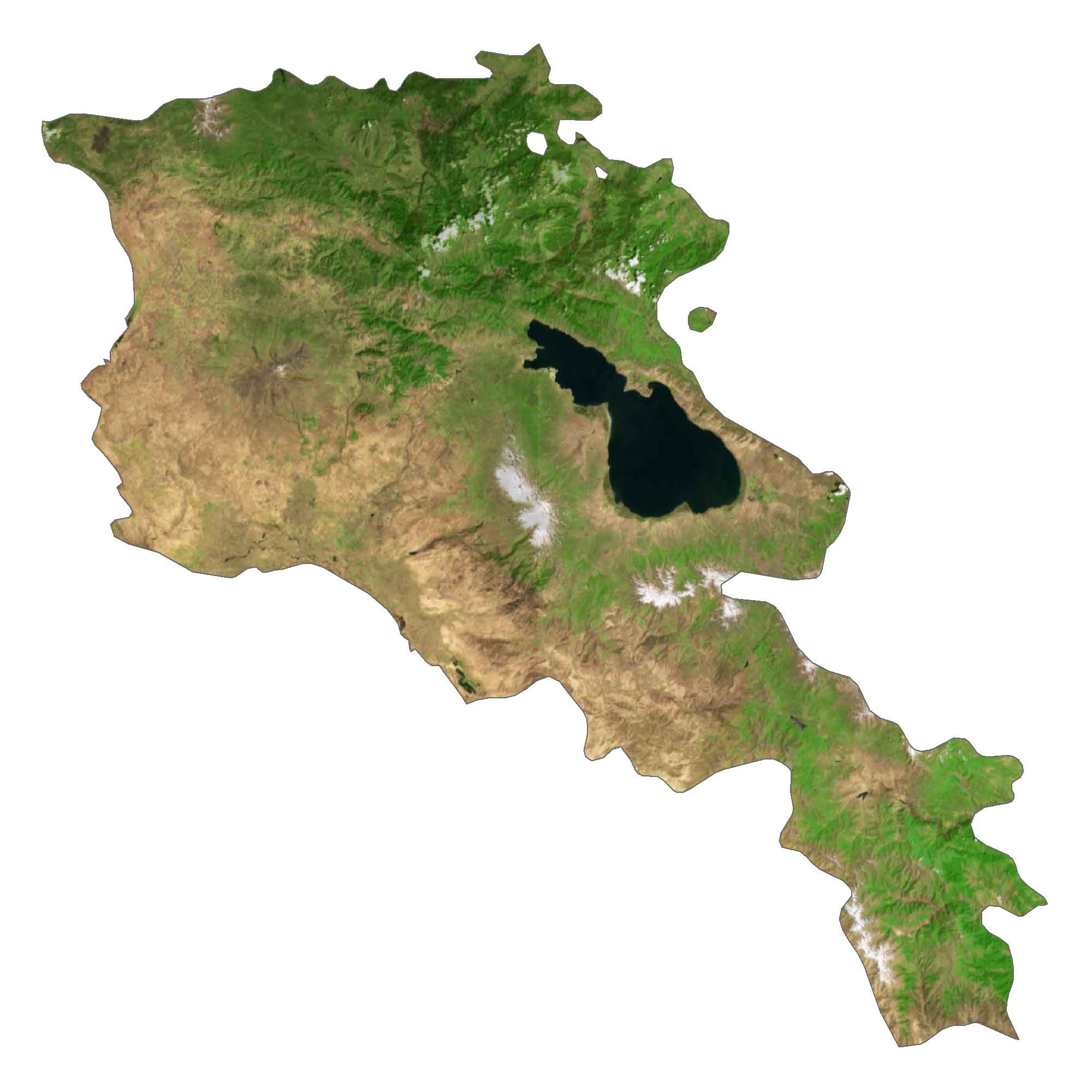
According to the FAO, forests cover just an estimated 10% of Armenia. Because of its rugged terrain, rivers typically flow fast in Armenia. Some of its longest rivers are the Aras, Akhuryan, and Vorotan Rivers.
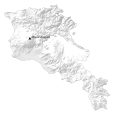
PHYSICAL MAP
Armenia Elevation Map
Armenia is mostly mountainous and rugged. Specifically, the Lesser Caucasus Mountains (Armenian Highlands) lie in the eastern region of Armenia. This mountain range stretches from Georgia in the north, almost to Iran.
As part of this mountain range, Mount Aragats is the highest peak in Armenia at 4,090 meters tall. Its other mountain ranges include the Geghama, Vardens, and the Zangezur Ranges.

Capital City
Yerevan
Major cities and towns
Gyumri
Vanadzor
Ijevan
Dilijan
Sevan
Ashtarak
Hrazdan
Artashat
Armavir
Yeghegnadzor
Goris
Kapan
Cities and towns
Tashir
Alaverdi
Ararat
Metsamor
Tumanyan
Amasia
Spitak
Meghradzor
Aparan
Maralik
Sisian
Korrnidzon
Nyuvadi
Meghri
Agarak
Lakes, rivers and creeks
Lake Sevan
Akhuryan River
Arpa River
Hrazdan River
Vorotan River
Aras River
Mountains
Mount Aragats