Cayman Islands Map and Satellite Imagery

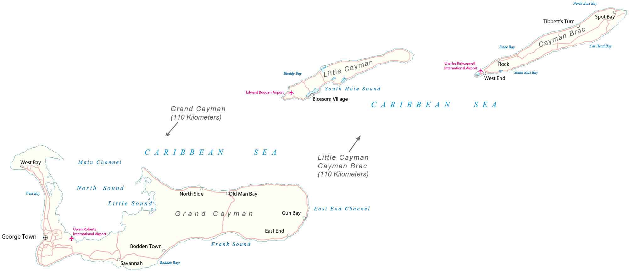
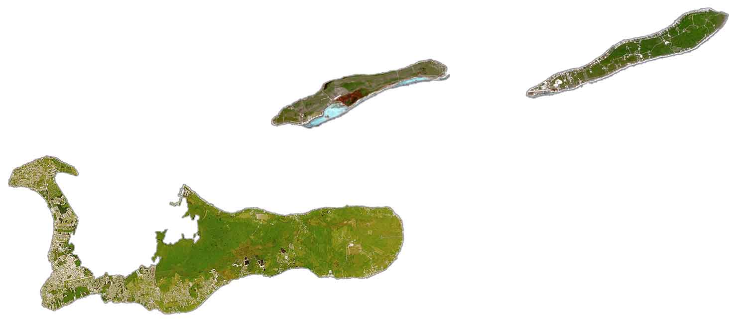
This Cayman Islands map shows settlements, seaports, bays, islands, points, harbors, and international airports. It features satellite imagery to view the three island nations in the Caribbean Sea.
About the map

The Cayman Islands are a British Overseas Territory in the Caribbean Sea. Altogether, the Cayman Islands occupy a total area of 264 square kilometers (102 sq mi).
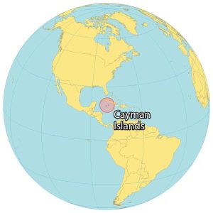
In comparison, this makes the territory smaller than Dominica but larger than Bermuda. The country is located in the Caribbean Sea to the south of Cuba and northeast of Honduras.
The origin of the Cayman Islands is from the Cayman Ridge, which is an undersea mountain range. At 43 meters (141 ft). The Bluff, a lower plateau on the island of Cayman Brac, is the highest point of the Cayman Islands.
Overall, the terrain is mostly low-lying. The Cayman Islands lie between 19°N and 20°N latitude with a tropical wet and dry climate. Financial services and tourism are the two main drivers of the economy in the Cayman Islands.
SATELLITE IMAGERY
Cayman Islands Satellite Map
The Cayman Islands consist of three large islands – the Grand Cayman, Little Cayman, and Cayman Brac. The largest island is the Grand Cayman, located to the west. This island contains the capital city of Georgetown and Owen Roberts International Airport, which serves as the headquarters for Cayman Airways.

Finally, Little Cayman and Cayman Brac are situated 110 kilometers (68 mi) to the northeast of Grand Cayman. Cayman Brac is the easternmost island known for its caves, rich climbing, and hiking. Finally, Little Cayman Island is 8 kilometers (5.0 mi) to the west of Cayman Brac and is the least populous of all three islands. Other major settlements are West Bay and Bodden Town, which both are on the Grand Cayman Islands.
Capital City
George Town
Islands
Grand Cayman
Little Cayman
Cayman Brac
Populated places
Blossom Village
North Side
Old Man Bay
Rock
Tibbett’s Turn
West End
Bodden Town
Savannah
East End
Spot Bay
Sounds and bays
South Hole Sound
Bloddy Bay
West Bay
North Sound
West Bay
Little Sound
Cat Head Bay
Stake Bay
North East Bay
South East Bay
Gun Bay
Bodden Bays
Frank Sound
Places of interest
Charles Kirkconnell International Airport
Edward Bodden Airport
Owen Roberts International Airport
Seas and channels
Caribbean Sea
Main Channel
East End Channel


