Map of Tokelau – Atolls and Villages
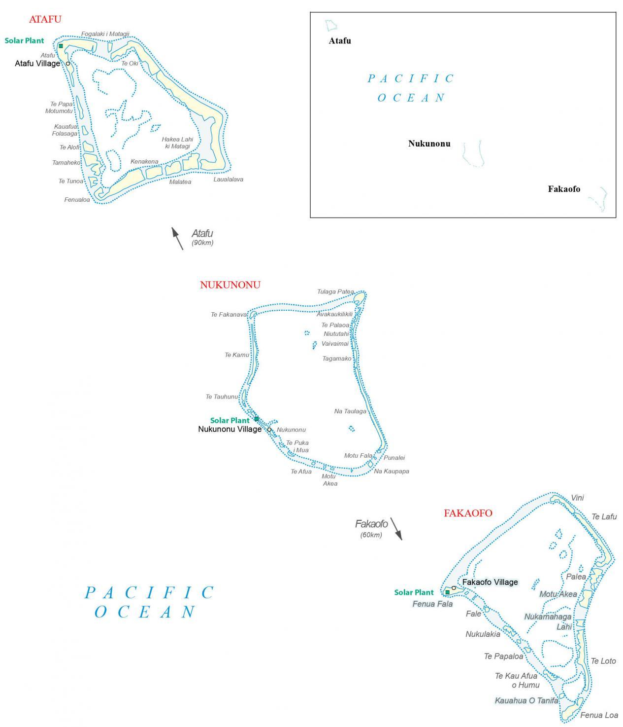
This map of Tokelau shows its collection of atolls. As a self-governing territory of New Zealand, Tokelau is remotely located in the Pacific Ocean. This Tokelau map displays points, bays, islands, settlements, and solar plants which power the islands.
You are free to use our Tokelau map for educational and commercial uses. Attribution is required. How to attribute?
About the map
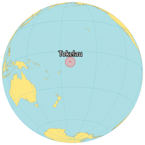
Tokelau is a remote collection of atolls that lie in the Pacific Ocean, spread out over a distance of about 170 kilometers (105 mi). Its three main atolls consist of Nukunonu in the center. Atafu is 90 kilometers to the north. Fakaofo is 60 kilometers (56 mi) to the south.
The Northern Cook Islands are 615 kilometers (382 mi) away to the southeast. Finally, Kiribati (Phoenix Islands) is situated 460 kilometers (285 mi) away to the north. Altogether, the combined area is 10 square kilometers (4 sq mi), which makes it about half the size of Nauru. Each atoll contains a village by the same name with Atafu being the largest settlement.
Tokelau is a dependent territory of New Zealand with just an estimated 1,500 people. Overall, this makes it one of the least populous in the world. The territory relies on renewable solar power making it the first nation to use it for 100% of its energy source. Samoa is situated 185 kilometers (115 mi) to the south.
Major islands
Atafu
Nukunonu
Fakaofo
Populated places
Atafu Village
Nukunonu Village
Fakaofo Village
Atafu islands and reefs
Te Oki
Te Papa Motumotu
Fogalaki i Matagii
Kauafua Folasaga
Te Alofi
Tamaheko
Te Tunoa
Fenualoa
Kenakena
Hakea Lahi ki Matagi
Malatea
Laualalava
Nukunonu islands and reefs
Te Fakanava
Tulaga Patea
Avakaukilikili
Te Palaoa
Niututahi
Vaivaimai
Te Kamu
Te Tauhunu
Tagamako
Te Puka i Mua
Na Taulaga
Te Afua
Motu Akea
Motu Fala
Punalei
Nukunonu
Na Kaupapa
Fukaofo islands and reefs
Vini
Te Lafu
Fenua Fala
Fale
Palea
Motu Akea
Nukamahaga Lahi
Nukulakia
Te Papaloa
Te Kau Afua o Humu
Kauahua O Tanifa
Te Loto
Fenua Loa
Oceans
Pacific Ocean


