Map of Palau – Cities and Islands
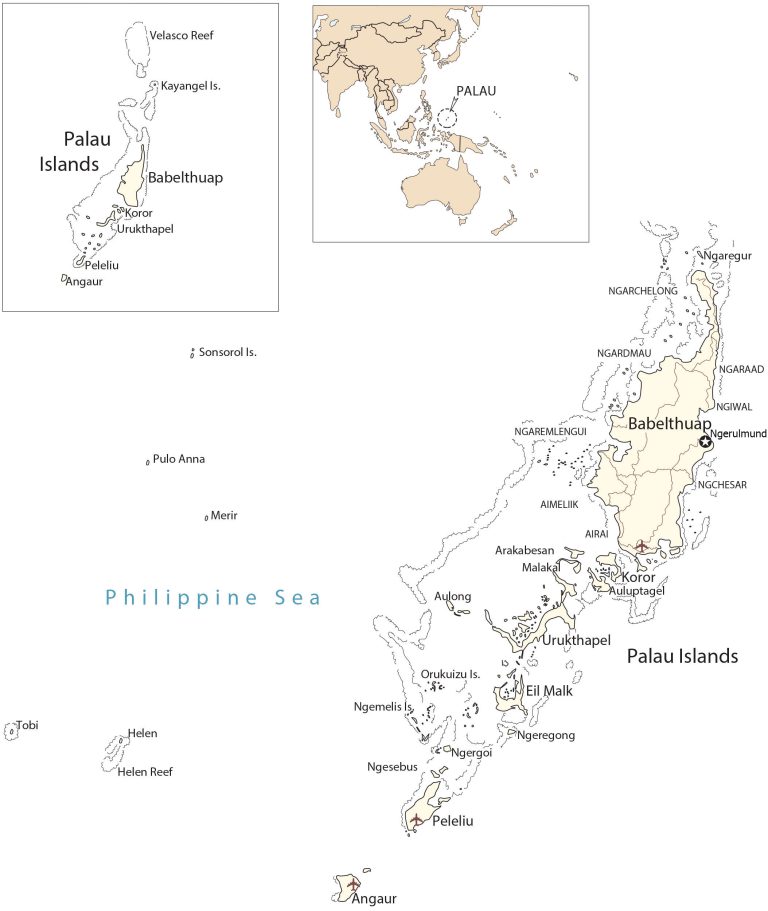
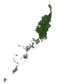
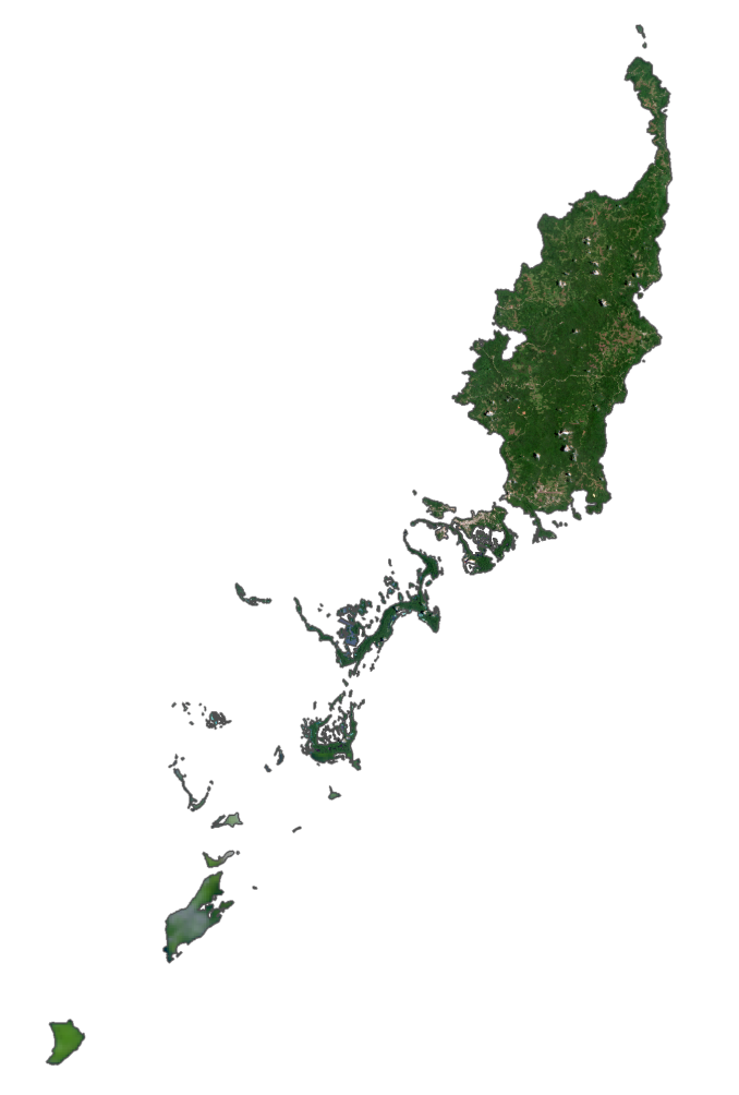
This map of Palau shows populated places, roads, and its five main islands. Satellite imagery displays the Rock Islands and the types of landscapes of Palau.
Palau map collection
You are free to use our Palau map for educational and commercial uses. Attribution is required. How to attribute?
About the map
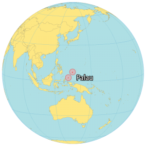
Palau is an island country part of Micronesia in Oceania. It contains over 500 islands in the Pacific Ocean. But most are uninhabited tropical islands.
It’s situated in the Philippine Sea with Guam to the northeast, Papua New Guinea to the southeast, Malaysia and Indonesia to the southwest, and the Philippines to the west.
Its most populous islands are Angaur, Babeldaob, Koror, and Peleliu. But about two-thirds of the population in Palau lives in Koror. The capital of Palau is Ngerulmud, which replaced its largest city, Koror.
SATELLITE IMAGERY
Palau Satellite Map
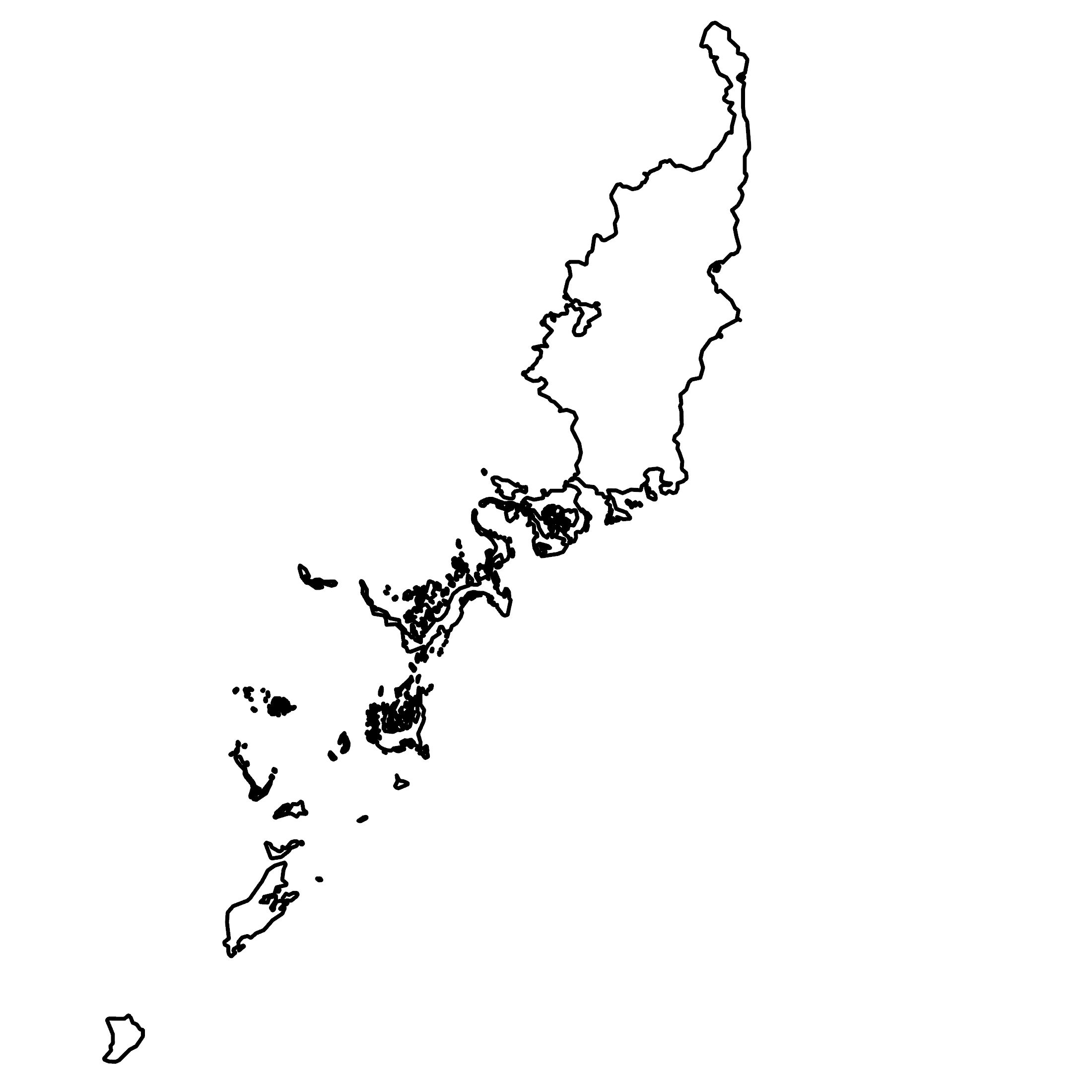
Altogether, the Palau island area is 459 square kilometers (177 sq mi). This makes it close to the area of Andorra or Seychelles. Overall, it’s one of the smallest countries in the world. Its largest island is Babeldaob and contains the capital city of Ngerulmud.
Although Koror is smaller in size, it consists of Koror City and several hamlets accounting for approximately 65% of Palau’s population. Angaur (Ngeaur) is situated southwest of Beliliou and is a raised platform island. Finally, the Rock Islands (Chelbacheb) of Palau consist of 300 small limestone or coral islands, which have been declared a UNESCO World Heritage Site.
Capital City
Ngerulmund
Major cities and towns
Melekeok
Koror
Populated places
Airai
Aimeliik
Ngaraard
Ngaremlengui
Ngarchelong
Ngardmau
Ngchesar
Ngiwal
Reefs and seas
Helen Reef
Philippine Sea
Velasco Reef
Islands
Arakabesan Is.
Aulong Is.
Babelthuap Is.
Angaur Is.
Eil Malk Is.
Helen Is.
Kayangel Is.
Malakal Is.
Merir Is.
Ngemelis Is.
Ngesebus Is.
Ngeregong Is.
Orukuizu Is.
Peleliu Is.
Pulo Anna Is.
Sonsorol Is.
Tobi Is.
Urukthapel Is.


