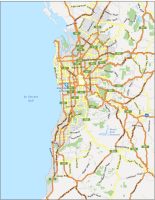
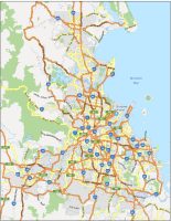
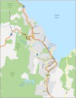
Map of Australia – Cities and Roads
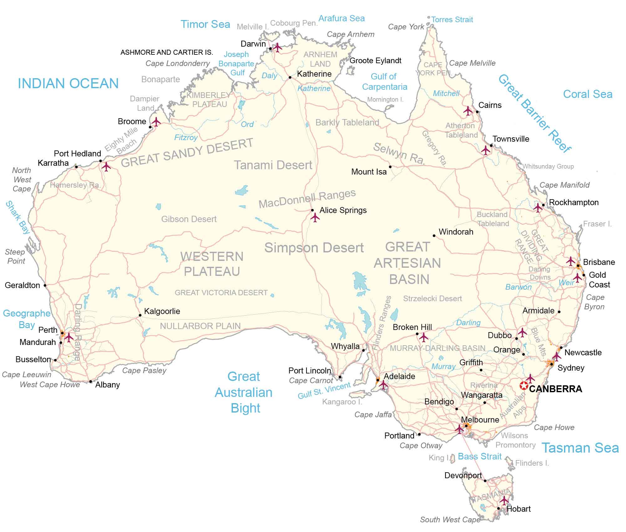
This map of Australia features major cities, roads, and reference features. An elevation and satellite map of Australia highlights its diverse topography like Australia’s sandy deserts, shield plateau, and mountain ranges.
You are free to use our Australia map for educational and commercial uses. Attribution is required. How to attribute?
About the map
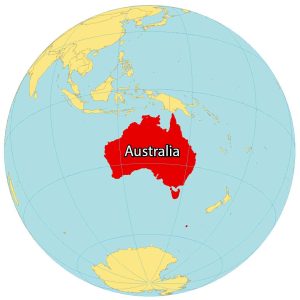
Australia is the largest country in Oceania and the sixth-largest country in the world. It’s the smallest continent on Earth, but it’s also too large to be an island.
Australia is nicknamed the “Land Down Under” because it’s situated below the equator. It also includes the island state of Tasmania to the southeast, which is the 26th largest island in the world.
Australia is located near Indonesia, East Timor, and Papua New Guinea to the north. Also, several islands are situated to the east such as New Caledonia, Vanuatu, and Fiji Islands. Finally, New Zealand is across from the Tasman Sea to the southeast.
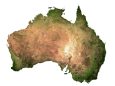
SATELLITE IMAGERY
Australia Satellite Map
These satellite images of Australia show the country from coast to gold coast. The country mostly has a yellow tint in the central region because desert landscapes dominate it. For example, Simpson, Gibson, and Tanami deserts cover the central region. All of Australia’s major cities are rimmed around 25,780 kilometers (16,020 mi) of shoreline.
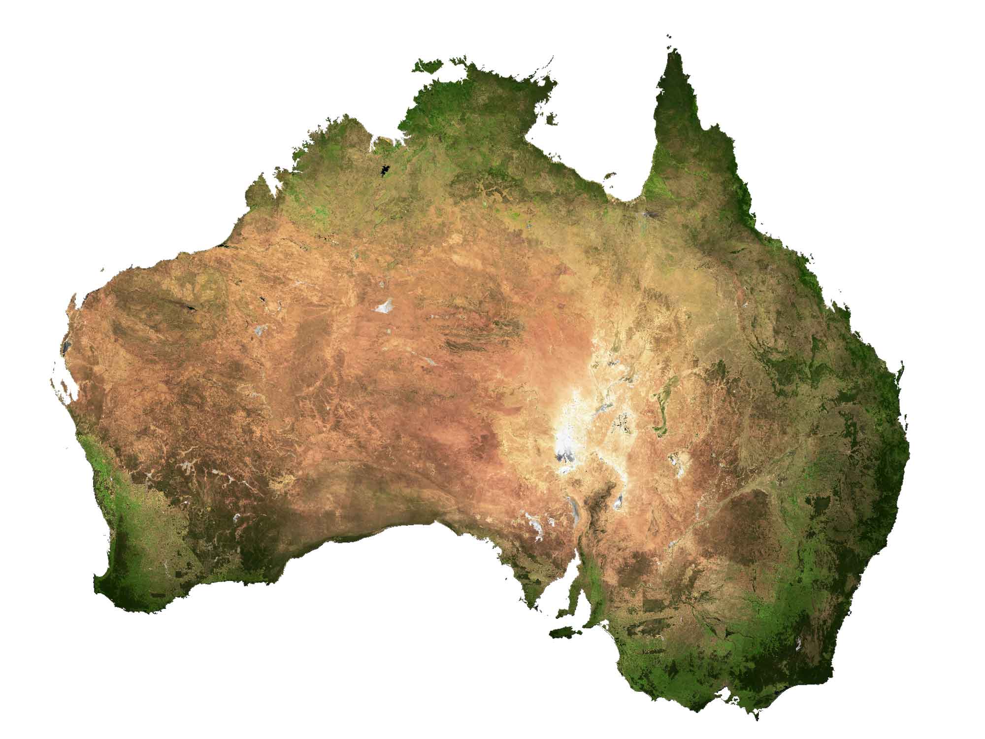
Otherwise, the Great Artesian Basin is the world’s largest and deepest artesian basin, stretching over 1,700,000 square kilometers. Finally, the Great Barrier Reef in northeast Australia is the world’s largest coral reef system in the world. It consists of 900 islands stretching for over 2,300 kilometers (1,429 mi) and is listed as a UNESCO World Heritage Site.
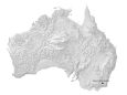
PHYSICAL MAP
Australia Elevation Map
Australia has an extremely diverse mix of terrain. Its major mountain chains include the Darling, MacDonnell, and Gregory range. At 2,228 m (7,310 ft), Mount Kosciuszko is Australia’s highest point in the East Australian Cordillera (Great Dividing Range).

Mount Kosciuszko’s peak is situated in the southeast of the country and is part of the Australian Alps. It’s just 400 kilometers (250 mi) away from Sydney and is designated as a Biosphere Reserve by UNESCO.
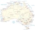
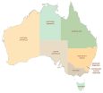
POLITICAL MAP
Australia Territory Map
Australia has six states and two territories. Its six states include New South Wales, Northern Territory, Queensland, South Australia, Tasmania, and Western Australia. Whereas its two territories are Jarvis Bay Territory and the Australian Capital Territory.
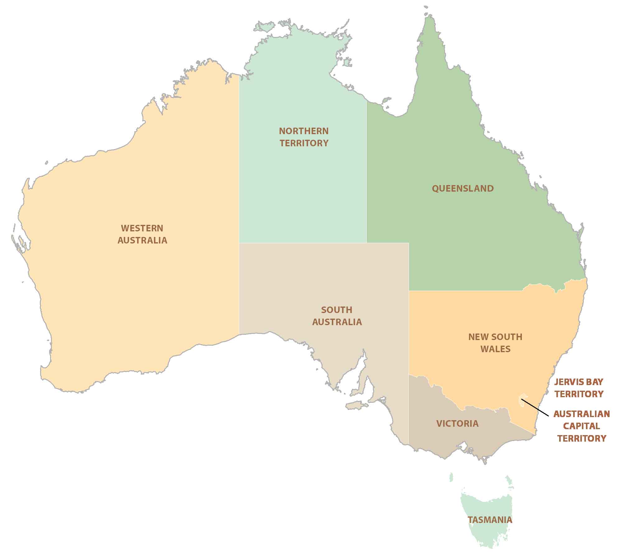
Capital City
Canberra
Major cities and towns
Brisbane
Adelaide
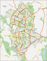
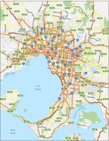
Melbourne
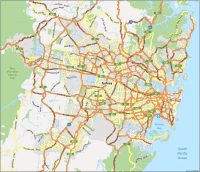
Sydney
Darwin
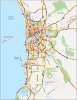
Perth
Cairns
Hobart
Cities and towns
Broome
Townsville
Port Hedland
Rockhampton
Windorah
Alice Springs
Mount Isa
Geraldton
Kalgoorlie
Albany
Whyalla
Port Lincoln
Armidale
Dubbo
Griffith
Wangaratta
Newcastle
Mandurah
Busselton
Portland
Devonport
Seas, gulfs and ocean
Indian Ocean
Timor Sea
Arafura Sea
Coral Sea
Gulf of Carpentaria
Great Australian Bight
Gulf St. Vincent
Bass Strait
Tasman Sea
Rivers
Murray River
Darling River
Barwon River
Ord River
Weir River
Katherine River
Geographic Features
MacDonnell Ranges
Melville Island
Cobourg Peninsula
Cape Arnhem
Cape York
Joseph Bonaparte Gulf
Arnhem Land
Groote Eylandt
Dampier Land
Eighty Mile Beach
Great Sandy Desert
Kimberley Plateau
Mornington Island
Cape Melville
Mitchell Plateau
Barkly Tableland
Tanami Desert
Selwyn Range
Gregory Range
Great Barrier Reef
Hamersley Range
Shark Bay
Steep Point
Gibson Desert
Cape Manifold
Buckland Tableland
Simpson Desert
Western Plateau
Great Artesian Basin
Nullarbor Plain
Cape Pasley
Blue Mountains
Australian Alps
Flinders Ranges
Strzelecki Desert
Murray-Darling Basin
Great Victoria Desert
Darling Range
Other Features
Ashmore and Cartier Islands
Bonaparte
North West Cape
Fraser Island
Gold Coast
Cape Byron
Cape Jaffa
Geographe Bay
Cape Leeuwin
West Cape Howe
Cape Otway
Wilson’s Promontory
King Island


Hobart map is missing