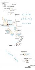
Vanuatu Map – Islands and Atolls
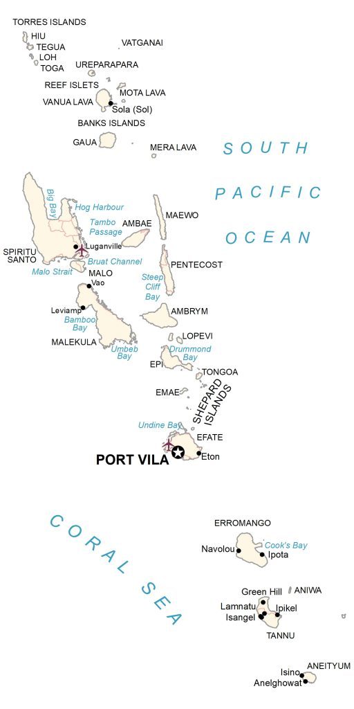
Vanuatu is an island country located in the South Pacific Ocean. This Vanuatu map collection displays populated places, roads, islands, and atolls with satellite imagery and an elevation map.
Vanuatu map collection
About the map
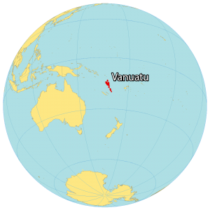
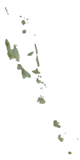
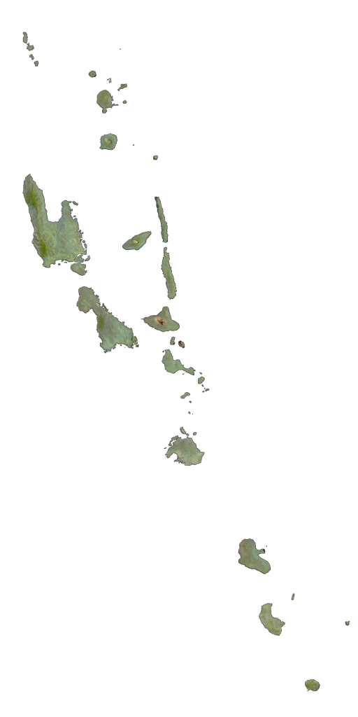
Vanuatu consists of roughly 83 islands and atolls (65 uninhabited) in the South Pacific Ocean and the Coral Sea. Also, the Vanuatu archipelago is located in the Melanesia region of Oceania.
It’s situated east of Australia, northeast of New Caledonia, east of Papua New Guinea, southeast of the Solomon Islands, and west of the Fiji Islands. The population is sparse with just over 300,000 people. Port Vila is the capital and largest city of Vanuatu.
Altogether, Vanuatu occupies an area of just 12,189 square kilometers (4,706 sq mi). In comparison, it’s similar in size to the Falkland Islands or the Bahamas. Vanuatu is shaped roughly like the letter “Y”. The country lies in the southern hemisphere between latitudes 13°S and 21°S.
When you combine its position in the ocean, the climate is tropical and wet. The country is part of the Vanuatu Rainforest region recognized for its intact montane and lowland rainforest as well as mangroves, seasonal forest, and scrub.
You are free to use our Vanuatu map for educational and commercial uses. Attribution is required. How to attribute?
SATELLITE IMAGERY
Vanuatu Satellite Map
The Vanuatu Archipelago is volcanic in origin with several active volcanoes interspersed with its islands. For example, Lopevi, Mount Yasur, and Kuwae are some of the volcanoes in Vanuatu. Additionally, it includes underwater volcanoes like the submarine volcanoes that lie near the northern rim of the Kuwae Caldera.
All of them remain active because of the movement of the Pacific tectonic plate. At 1,879 meters (6,165 ft), Mount Tabwemasana is the highest peak. In case you’re wondering, it’s on the west side of the island of Espiritu Santo.
Capital City
Port Vila
Island groups
Banks Islands
Torres Islands
Shepard Islands
Islands
Ambae
Ambrym
Aneityum
Aniwa
Efate
Emae
Epi
Erromango
Gaua
Hiu
Loh
Lopevi
Maewo
Malekula
Malo
Mera Lava
Mota Lava
Pentecost
Reef Islets
Spiritu Santo
Tannu
Tegua
Toga
Tongoa
Ureparapara
Vanua Lava
Vatganai
Populated places
Anelghowat
Eton
Green Hill
Ipikel
Ipota
Isangel
Isino
Lamnatu
Leviamp
Luganville
Navolou
Sola (Sol)
Vao
Bays, straits and seas
Bamboo Bay
Big Bay
Bruat Channel
Cook’s Bay
Coral Sea
Drummond Bay
Hog Harbour
Malo Strait
South Pacific Ocean
Steep Cliff Bay
Tambo Passage
Umbeb Bay
Undine Bay


