GIS Analysis
See exactly how to use geoprocessing tools, edit data, and transform your tables into geographic information.

Feature
The Periodic Table for Spatial Analysis
The Periodic Table for Spatial Analysis lists 90 tools for quantifying, finding patterns, and predicting outcomes in a geographic context.
Vector Tools
7 Geoprocessing Tools Every GIS Analyst Should Know
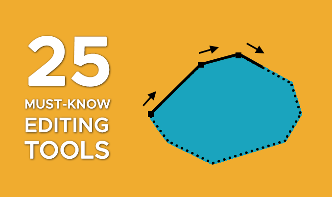
So you want to geoprocess like a GIS guru, do you? From clipping to buffering, you will learn the basic GIS processing tools along with uses & applications
Raster Tools
Raster Analysis in GIS – Tools and Techniques
Raster analysis is the process of analyzing spatial information contained in grid datasets such as soils, land cover, elevation, and more.
Data Science
15 Python Libraries for GIS and Mapping
Python libraries are the ultimate extension in GIS because it allows you to boost its core functionality. Here are the best Python libraries in GIS/mapping.
GIS Concepts
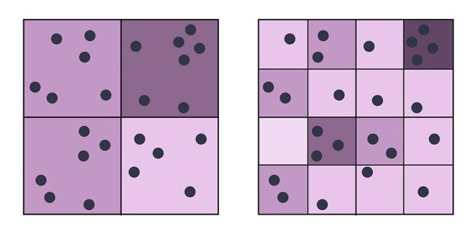
MAUP – Modifiable Areal Unit Problem
The modifiable areal unit problem (MAUP) is a statistical bias that occurs when you aggregate point data such as the scale and zonal effect.
QGIS Tutorials
27 Differences Between ArcGIS and QGIS
It’s a head-to-head GIS software showdown with the star-studded lineup in the GIS industry- ArcGIS vs QGIS. Discover the differences between ArcGIS and QGIS
ArcGIS Tutorials
35 Differences Between ArcGIS Pro and QGIS 3
Buckle up. Because you’re going to witness a head-to-head battle between the juggernauts of GIS software. It’s a rematch. ArcGIS Pro vs QGIS 3


