GIS Mapping
Learn how to make the most out of your maps by using different map types, cartographic elements, and example maps.

Feature
Magnetic North vs Geographic (True) North Pole
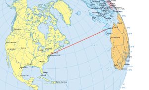
The Magnetic North Pole is a point in Northern Canada where the northern lines of attraction enter the Earth. Compass needles point to the magnetic north.
Cartography
Choropleth Maps – A Guide to Data Classification
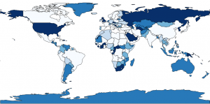
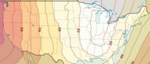
Equal intervals, quantile, natural breaks, pretty breaks- data classification methods generate different choropleth maps. We explain the types of maps here.
Map Types
25 Map Types for Building Unbeatable Maps
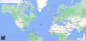
From cartograms to contour maps, cartographers are like heroes. And every hero has a secret. If you want to build unbeatable maps, here are 25 map types.
Web Maps
Epic Web Maps – The Maps Hall of Fame
The ultimate list of best maps online. These display state-of-the-art web mapping technology such as live feeds, 3D views and cutting edge visualization.
Map Projections
50 Map Projections Types: A Visual Guide
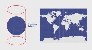
If you’re in need of a visual reference guide to map projection types, this goldmine of the top 50 global map projections used by cartographers will help.
Geodesy
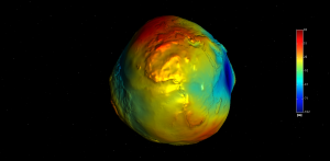
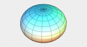
Geodesy: The Mathematics of “Where”
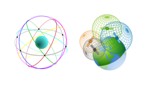
Geodesy is the field of applied mathematics that studies Earth’s shape, orientation, positions and gravity for the past, present and future.
Coordinate Reference Systems
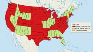
The State Plane Coordinate System (SPCS)
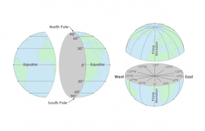
The State Plane Coordinate System divides the United States into 124 zones to locate any point with a high level of accuracy (one part in 10,000).

