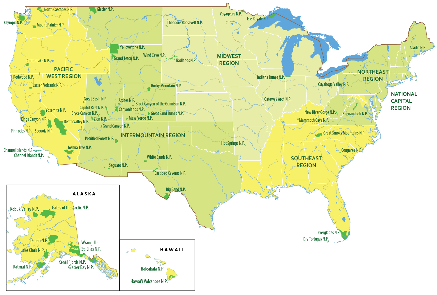
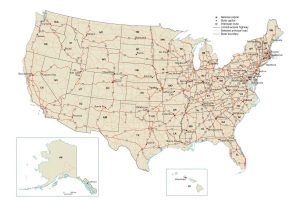
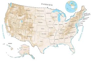
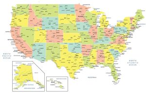
US National Parks Map
This US national parks map displays all 5 national park regions and the 63 national parks of the United States. There are 2 separate insets to show the 2 national parks of Hawaii and 8 national parks of Alaska.
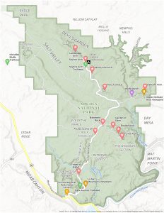
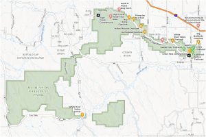
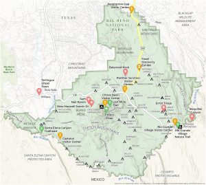
National Park Maps
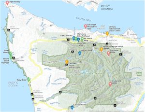
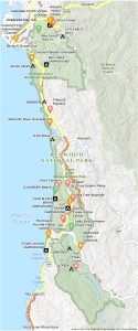
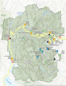
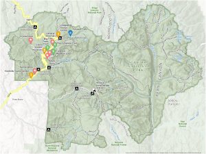
Click on a map below to see a more detailed view of the map.
National Parks
Acadia N.P.
Arches N.P.
Badlands N.P.
Big Bend N.P.
Biscayne N.P.
Black Canyon of the Gunnison N.P.
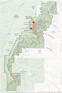
Bryce Canyon N.P.
Canyonlands N.P.
Capitol Reef N.P.
Carlsbad Caverns N.P.
Channel Islands N.P.
Congaree N.P.
Crater Lake N.P.
Cuyahoga Valley N.P.
Death Valley N.P.
Denali N.P.
Dry Tortugas N.P.
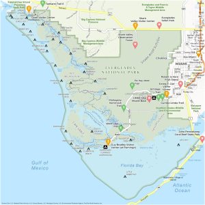
Everglades N.P.
Gates of the Arctic N.P.
Gateway Arch N.P.
Glacier Bay N.P.
Glacier N.P.
Grand Canyon N.P.
Grand Teton N.P.
Great Basin N.P.
Great Sand Dunes N.P.
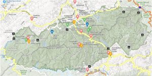
Great Smoky Mountains N.P.
Guadalupe Mountains N.P.
Haleakalā N.P.
Hawai’i Volcanoes N.P.
Hot Springs N.P.
Indiana Dunes N.P.
Isle Royale N.P.
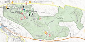
Joshua Tree N.P.
Katmai N.P.
Kenai Fjords N.P.
Kings Canyon N.P.
Kobuk Valley N.P.
Lake Clark N.P.
Lassen Volcanic N.P.
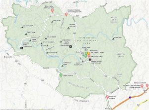
Mammoth Cave N.P.
Mesa Verde N.P.
Mount Rainier N.P.
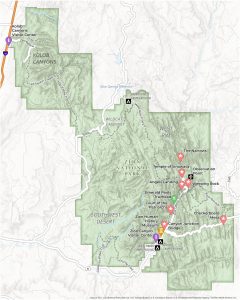
New River Gorge N.P.
North Cascades N.P.
Olympic N.P.
Pinnacles N.P.
Redwood N.P.
Rocky Mountain N.P.
Saguaro N.P.
Sequoia N.P.
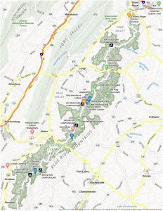
Shenandoah N.P.
Theodore Roosevelt N.P.
Voyageurs N.P.
White Sands N.P.
Wind Cave N.P.
Wrangell–St. Elias N.P.
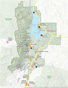
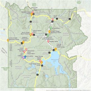
Yellowstone N.P.
Yosemite N.P.
Zion N.P.
National Park Regions
Midwest Region
Southeast Region
Northeast Region
National Capital Region
Pacific West Region
Changelog
2024/01/10 – Added Gateway Arch, Indiana Dunes, White Sands, and New River Gorge National Parks to the map.

Would it be possible to upload the PDF version? Thank you!
https://www.nps.gov/neri/index.htm
New River Gorge is Now a National Park and Preserve.
Give WV her due.
Thanks Mya, you’re right! We updated the map and added New River Gorge National Park.