GIS Software
Learn about all the GIS software available in the industry with reviews and how-to guides in Esri ArcGIS and QGIS.

Feature
30 Best GIS Software Applications [Rankings]
ArcGIS, QGIS, SAGA GIS to JUMP GIS. What GIS software should you be using? We map out the GIS software landscape and list 30 options for you to choose from.
Mapping Tools Reviews
Commercial GIS Software: List of Proprietary Mapping Software
Businesses around the world are embracing commercial GIS software because sometimes it just makes more business sense. We list commercial mapping software.
Open Source GIS Software
13 Free GIS Software Options: Map the World in Open Source
There’s a bucket load of free GIS software packages available for you to map the world. Manage, visualize and edit GIS data with open source GIS software.
Maps in Your Browser
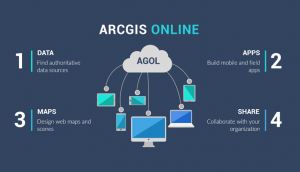
5 Best Web Mapping Platforms – The Battle of Web GIS
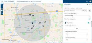
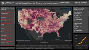
Web mapping is in an arm’s race and the war is in the cloud. It’s a web GIS battle with ArcGIS Online, Carto, Mapbox, Mango Map, and GIS Cloud.
Specialized GIS Software
10 Geocoders for Pinpointing Addresses [Free and Paid]
We list geocoding and reverse geocoding services that are available (for free and as paid services) to pinpoint addresses on your maps.
ArcGIS Software
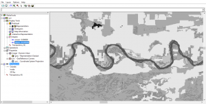
ArcGIS Pro Review: 17 Reasons to Map Like a Pro
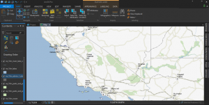
Are you thinking of switching to ArcGIS Pro? Whether it’s speed, slickness or simply raw power, here are 17 reasons to make the transition to ArcGIS Pro now
ArcGIS Online
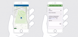
How To Use Esri Collector and Survey123 as Field Work Apps
Esri Collector and Survey123 are the one-two punch for data collection in the field. Collector is the central app which calls Survey123 forms for data entry
Google Maps
Google Earth vs Google Maps: What’s the Difference?
Google Maps is for local navigation and routing. Whereas Google Earth has virtual trips and guided tours around the world.


