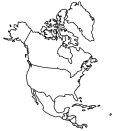
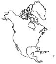
North America Blank Map and Country Outlines
Take a look at these blank maps of North America. You’ll find a full continent map and individual maps of all the countries.
Our blank map of North America is available for anyone to use for free. It’s a great tool for learning, teaching, or just exploring the continent’s geography. You can print it, draw on it, or use it in any way you need.
You are free to use our blank map of North America for educational and commercial uses. Attribution is required. How to attribute?
North America Country Outlines
Our collection of outline maps provides a clear representation of these countries in North America.
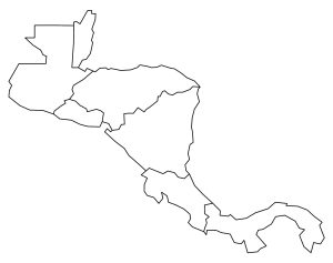
Now it’s time for our collection of outline maps in Central America. Click on a country to download.
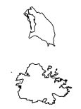
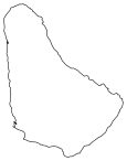
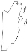
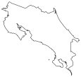

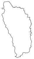


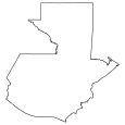


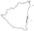


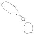
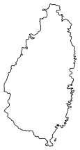
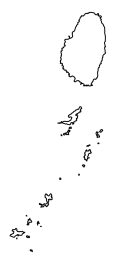
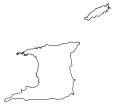
We offer these downloadable and printable maps of North America that include country borders. Feel free to download the empty maps of countries in North America and use them for any purpose.
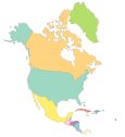
North America Blank Map in Color
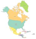
Looking for a blank map of North America in color? Below, you’ll find two empty maps. First, we have a blank map without labels. Secondly, we’ve created an outline map with labels and in color.
World Atlas of North America
GISGeography has one of the largest map atlases in the world. Our section of North America contains detailed maps of each country. It also features elements like roads, imagery, and administration areas.
Jump To: Northern America | Central America | United States | Canadian Provinces
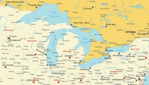
Northern America
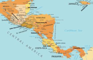
Central America
Why use an empty map?
We use an empty map as a blank slate to create customized maps or to teach geography. They’re great because they allow you to add only the information you need.
This makes it ideal for specific projects like urban planning, educational purposes, or creating specialized maps where you only need certain types of information.
No matter your usage, you should download one of our unlabelled continent or country maps in North America.
Atlas of North America
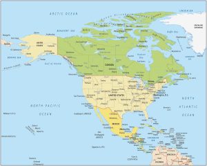
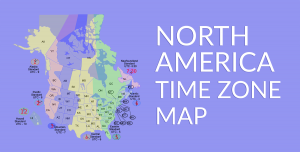
In need of a map of North America? Explore our collection. It includes everything from detailed time zone maps to clear country outlines. To check out these options, simply click on the map displayed below.
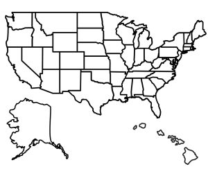
Country Outline Maps
Choose from our outline maps below. Download them today and use them for free.

