Blank Map of Africa with Country Outlines
Searching for a blank map of Africa? Look no further! Use our blank map of Africa for any purpose. This includes all the African country outlines as well.
This is especially great for printing in classrooms. I’ve found naming countries to be a challenging activity in geography even for the brightest students.
You are free to use our African map outlines for educational and commercial uses. Attribution is required. How to attribute?
African Country Outlines
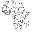
Download and use these outline maps of African countries for any purpose. These are the 54 country outlines of Africa.
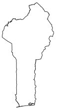
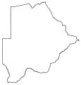

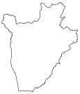
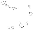
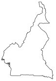

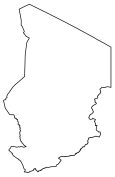
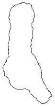
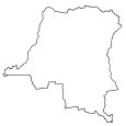
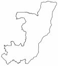
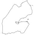
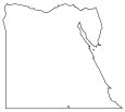
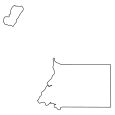
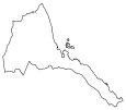
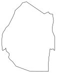

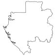

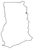


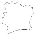
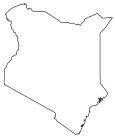
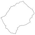
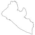
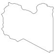
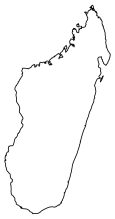
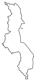
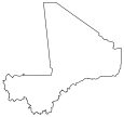
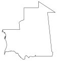
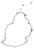
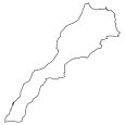
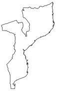
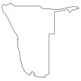


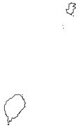


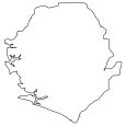
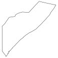
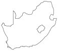


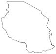
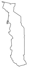
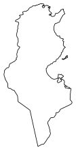
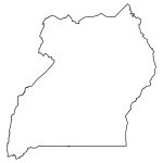
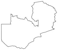
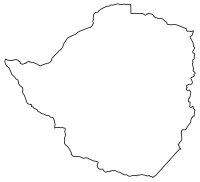
You’ll find all the 48 countries that belong to the mainland continent of Africa. Plus, it includes the 6 island nations of Africa: Madagascar, Mauritius, Seychelles, Comoros, Cape Verde, and São Tomé and Príncipe.
Blank Map of Africa in Color
I’ve always found Africa to be the hardest continent to label every country. It must be because it has 54 countries, which is more than any other continent!
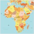
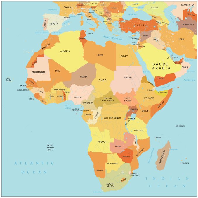
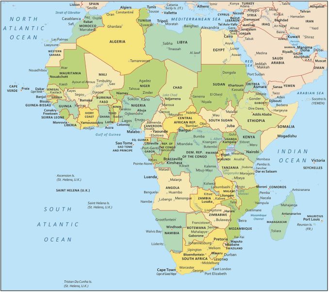
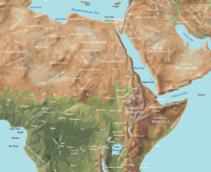
Maybe, you have a color printer? Download our blank map of Africa in living color. This simple map has African country outlines all in a continent map. Our second map labels each country in Africa.
Africa in Our World Atlas
Did you know that GISGeography has one of the largest world atlases online today? We have each African country on a separate map for you to check out.
With the maps below, you can explore the vast continent of Africa with our extensive online world atlas. Immerse yourself in the geographical details as we present each African country on a separate map.
Jump To: Eastern Africa | Middle Africa | Northern Africa | Southern Africa | Western Africa
Eastern Africa
Middle Africa
Northern Africa
Southern Africa
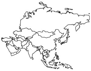
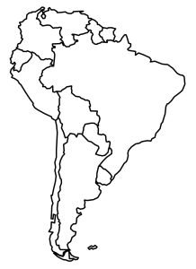
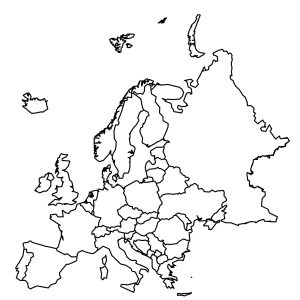
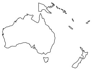
Outline Maps of Continents
Select from any of the outline maps provided below. Download them for free and start using them immediately.
Why do you need an empty map of Africa, anyhow?
I’ve had people ask me before… What good is a map without labels on it? Well, it’s not only nice to hang out on a wall… but you can do so much more with it
One of the best ways to use an empty map is to teach geography. By having students label countries, capitals, or geographic features, they can check their accuracy.
I’ve also seen people use empty maps like this one to plan routes, brainstorm, and mark up. Remember, the possibilities depend on your needs and imagination!

